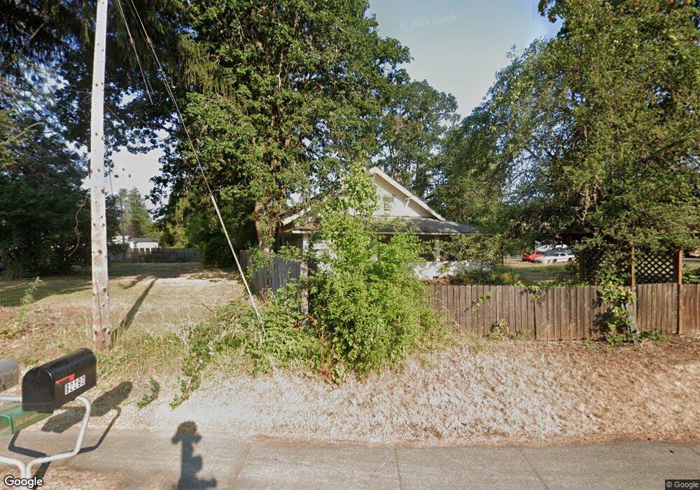
92290 Marcola Rd Marcola, OR 97454
Estimated Value: $569,487 - $676,000
5
Beds
2
Baths
2,624
Sq Ft
$238/Sq Ft
Est. Value
About This Home
This home is located at 92290 Marcola Rd, Marcola, OR 97454 and is currently estimated at $624,622, approximately $238 per square foot. 92290 Marcola Rd is a home located in Lane County with nearby schools including Marcola Elementary School and Mohawk High School.
Ownership History
Date
Name
Owned For
Owner Type
Purchase Details
Closed on
May 14, 2007
Sold by
Cote Larry M and Cote Vicki K
Bought by
Ellis Cliff T and Ellis Katherine K
Current Estimated Value
Home Financials for this Owner
Home Financials are based on the most recent Mortgage that was taken out on this home.
Original Mortgage
$268,000
Outstanding Balance
$161,951
Interest Rate
6.14%
Mortgage Type
Purchase Money Mortgage
Estimated Equity
$462,671
Purchase Details
Closed on
Jan 2, 2007
Sold by
Cote Larry M and Cote Vicki K
Bought by
Cote Larry M
Create a Home Valuation Report for This Property
The Home Valuation Report is an in-depth analysis detailing your home's value as well as a comparison with similar homes in the area
Purchase History
| Date | Buyer | Sale Price | Title Company |
|---|---|---|---|
| Ellis Cliff T | $335,000 | Western Title & Escrow Compa | |
| Cote Larry M | -- | Evergreen Land Title Company | |
| Cote Larry M | -- | Evergreen Land Title Company |
Source: Public Records
Mortgage History
| Date | Status | Borrower | Loan Amount |
|---|---|---|---|
| Open | Ellis Cliff T | $268,000 |
Source: Public Records
Tax History
| Year | Tax Paid | Tax Assessment Tax Assessment Total Assessment is a certain percentage of the fair market value that is determined by local assessors to be the total taxable value of land and additions on the property. | Land | Improvement |
|---|---|---|---|---|
| 2025 | $3,025 | $241,711 | -- | -- |
| 2024 | $2,955 | $234,671 | -- | -- |
| 2023 | $2,955 | $227,836 | $0 | $0 |
| 2022 | $2,730 | $221,200 | $0 | $0 |
| 2021 | $2,667 | $214,758 | $0 | $0 |
| 2020 | $2,589 | $208,503 | $0 | $0 |
| 2019 | $2,503 | $202,431 | $0 | $0 |
| 2018 | $2,429 | $190,811 | $0 | $0 |
| 2017 | $2,247 | $190,811 | $0 | $0 |
| 2016 | $2,196 | $185,253 | $0 | $0 |
| 2015 | $2,155 | $179,857 | $0 | $0 |
| 2014 | $1,747 | $174,618 | $0 | $0 |
Source: Public Records
Map
Nearby Homes
- 38216 Wendling Rd
- 0 Wendling Rd
- 38058 Railroad Ln
- 92133 Marcola Rd
- 92020 Maple Ln
- 0 Cascade Woods Dr Unit 24194354
- 93099 Marcola Rd
- 0 Boiler Creek Rd
- 0 Address Unknown Unit 292085518
- 37082 Goats Rd
- 0 Unknown Address Unit 636894132
- 91375 Marcola Rd
- 37186 Tree Farm Rd
- 0 Shotgun Creek Rd
- 0 Alder Branch Rd Unit 429162594
- 17-1-3 Road
- 90750 Hill Rd
- 94671 Johnson Rd
- 0 Hill Rd
- 94703 Johnson Rd
- 92270 Marcola Rd
- 92275 Marcola Rd
- 92263 Marcola Rd
- 92256 Marcola Rd
- 92239 Queen St
- 92295 Marcola Rd
- 92269 Walling St
- 92231 Queen St
- 92251 Marcola Rd
- 92227 Queen St
- 92281 Queen St
- 92228 Queen St
- 92271 Walling St
- 92263 Walling St
- 92240 Queen St
- 92243 Marcola Rd
- 92255 Walling St
- 92275 Walling St
- 92319 Marcola Rd
- 92231 Walling St
Your Personal Tour Guide
Ask me questions while you tour the home.