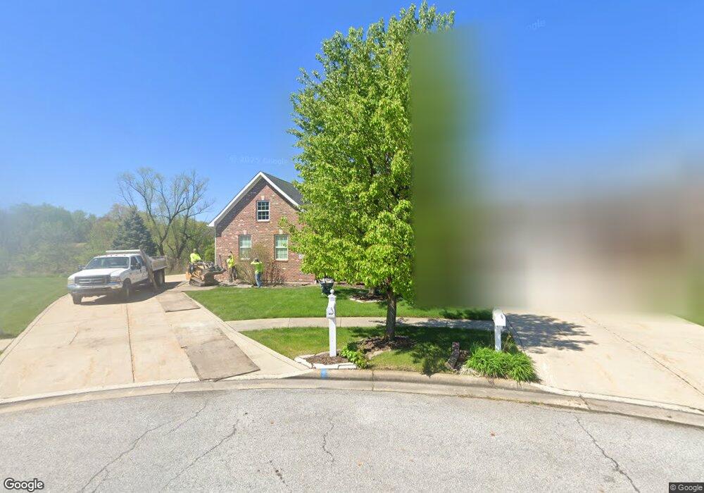
923 Aaron Ct Crown Point, IN 46307
Estimated Value: $466,243 - $564,000
2
Beds
2
Baths
2,206
Sq Ft
$233/Sq Ft
Est. Value
About This Home
This home is located at 923 Aaron Ct, Crown Point, IN 46307 and is currently estimated at $513,811, approximately $232 per square foot. 923 Aaron Ct is a home located in Lake County with nearby schools including Lake Street Elementary School, Robert Taft Middle School, and Crown Point High School.
Ownership History
Date
Name
Owned For
Owner Type
Purchase Details
Closed on
Sep 3, 2009
Sold by
Cp Partners Llc
Bought by
Perz Edward V and Perz Linda J
Current Estimated Value
Home Financials for this Owner
Home Financials are based on the most recent Mortgage that was taken out on this home.
Original Mortgage
$338,200
Interest Rate
5.27%
Mortgage Type
New Conventional
Purchase Details
Closed on
Jun 19, 2009
Sold by
Rohaley Daniel M and Wilcox David J
Bought by
Cp Partners Llc
Home Financials for this Owner
Home Financials are based on the most recent Mortgage that was taken out on this home.
Original Mortgage
$276,750
Interest Rate
4.92%
Mortgage Type
Unknown
Create a Home Valuation Report for This Property
The Home Valuation Report is an in-depth analysis detailing your home's value as well as a comparison with similar homes in the area
Home Values in the Area
Average Home Value in this Area
Purchase History
| Date | Buyer | Sale Price | Title Company |
|---|---|---|---|
| Perz Edward V | -- | Ticor Cp | |
| Cp Partners Llc | -- | Ticor Title Insurance |
Source: Public Records
Mortgage History
| Date | Status | Borrower | Loan Amount |
|---|---|---|---|
| Closed | Perz Edward V | $338,200 | |
| Previous Owner | Cp Partners Llc | $276,750 |
Source: Public Records
Tax History Compared to Growth
Tax History
| Year | Tax Paid | Tax Assessment Tax Assessment Total Assessment is a certain percentage of the fair market value that is determined by local assessors to be the total taxable value of land and additions on the property. | Land | Improvement |
|---|---|---|---|---|
| 2024 | $10,999 | $450,300 | $57,600 | $392,700 |
| 2023 | $4,438 | $400,200 | $48,000 | $352,200 |
| 2022 | $4,324 | $385,900 | $48,000 | $337,900 |
| 2021 | $4,172 | $372,500 | $47,100 | $325,400 |
| 2020 | $4,041 | $361,000 | $47,100 | $313,900 |
| 2019 | $4,125 | $364,400 | $47,100 | $317,300 |
| 2018 | $5,394 | $367,900 | $47,100 | $320,800 |
| 2017 | $5,379 | $367,700 | $47,100 | $320,600 |
| 2016 | $5,545 | $371,900 | $47,100 | $324,800 |
| 2014 | $5,241 | $374,100 | $47,100 | $327,000 |
| 2013 | $5,098 | $361,500 | $47,100 | $314,400 |
Source: Public Records
Map
Nearby Homes
- 3709 W 121st Ave
- 804 Shannon Dr
- 802 Hayfield Dr
- 775 Quinlan Ct
- 1144 Mary Ellen Dr
- 908 Mary Ellen Dr
- 1140 Hyde Park
- 1002 Gordon Ct
- 1156 Donegal Ln
- 4714 W 121st Ave
- 217 Crestview Ln
- 312 Fairfield Dr
- 744 S Court St
- 780 Williams Ct
- 1575 S Feather Rock Dr
- 924 W Crestview Ct
- 12201 Cedar Lake Rd
- 334 Ellendale Pkwy
- The Cottonwood Plan at Golden Meadow
- The Magnolia Plan at Golden Meadow