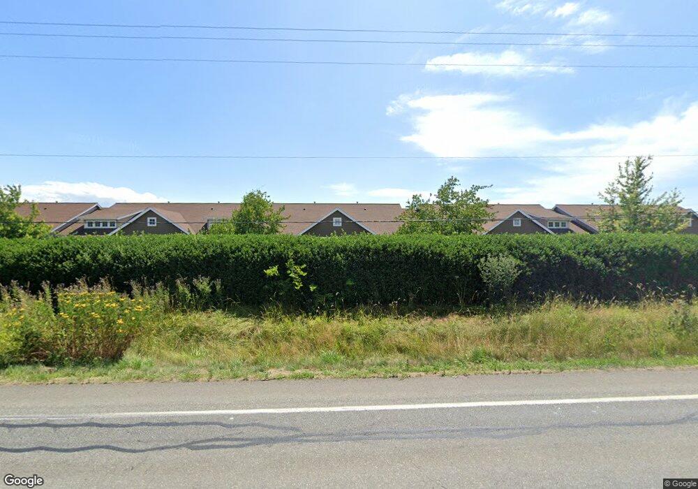
923 Aaron Dr Unit C110 Lynden, WA 98264
Estimated Value: $357,424 - $374,000
2
Beds
1
Bath
1,044
Sq Ft
$349/Sq Ft
Est. Value
About This Home
This home is located at 923 Aaron Dr Unit C110, Lynden, WA 98264 and is currently estimated at $364,856, approximately $349 per square foot. 923 Aaron Dr Unit C110 is a home located in Whatcom County with nearby schools including Lynden High School, Lynden Christian School, and Lynden Christian Schools: Administration.
Ownership History
Date
Name
Owned For
Owner Type
Purchase Details
Closed on
Feb 7, 2020
Sold by
Rogers Michael A
Bought by
Cleveland Caroline and Cleveland Grant
Current Estimated Value
Purchase Details
Closed on
Mar 26, 2003
Sold by
Boeringa David G and Boeringa Myrna E
Bought by
Hendricks Ronald L and Hendricks Karen J
Home Financials for this Owner
Home Financials are based on the most recent Mortgage that was taken out on this home.
Original Mortgage
$78,500
Interest Rate
5.19%
Purchase Details
Closed on
Feb 8, 2000
Sold by
Rb Development Group Inc
Bought by
Johnston Irwin C and Johnston Hildur E
Home Financials for this Owner
Home Financials are based on the most recent Mortgage that was taken out on this home.
Original Mortgage
$87,500
Interest Rate
8.06%
Mortgage Type
Seller Take Back
Create a Home Valuation Report for This Property
The Home Valuation Report is an in-depth analysis detailing your home's value as well as a comparison with similar homes in the area
Home Values in the Area
Average Home Value in this Area
Purchase History
| Date | Buyer | Sale Price | Title Company |
|---|---|---|---|
| Cleveland Caroline | $1,233,000 | Whatcom Land Title | |
| Hendricks Ronald L | $126,500 | Chicago Title Insurance | |
| Johnston Irwin C | -- | Chicago Title Insurance Co |
Source: Public Records
Mortgage History
| Date | Status | Borrower | Loan Amount |
|---|---|---|---|
| Previous Owner | Hendricks Ronald L | $78,500 | |
| Previous Owner | Johnston Irwin C | $87,500 |
Source: Public Records
Tax History Compared to Growth
Tax History
| Year | Tax Paid | Tax Assessment Tax Assessment Total Assessment is a certain percentage of the fair market value that is determined by local assessors to be the total taxable value of land and additions on the property. | Land | Improvement |
|---|---|---|---|---|
| 2024 | $2,314 | $321,880 | $40,000 | $281,880 |
| 2023 | $2,314 | $321,880 | $40,000 | $281,880 |
| 2022 | $2,118 | $259,860 | $51,972 | $207,888 |
| 2021 | $2,116 | $229,965 | $45,993 | $183,972 |
| 2020 | $1,915 | $209,055 | $41,811 | $167,244 |
| 2019 | $1,698 | $198,150 | $39,630 | $158,520 |
| 2018 | $1,781 | $180,150 | $36,030 | $144,120 |
| 2017 | $1,547 | $155,100 | $31,020 | $124,080 |
| 2016 | $1,503 | $143,363 | $32,220 | $111,143 |
| 2015 | $1,280 | $138,480 | $30,960 | $107,520 |
| 2014 | -- | $128,625 | $28,770 | $99,855 |
| 2013 | -- | $127,200 | $28,500 | $98,700 |
Source: Public Records
Map
Nearby Homes
- 2205 Dejong Dr
- 2201 Dejong Dr
- 1172 Edgewater Ln
- 114 Twin Sister Loop
- 1112 N Cascade Ct
- 9586 Bender Rd
- 1136 N Cascade Ct
- 8639 Bender Rd
- 8872 Depot Rd Unit 203
- 8844 Depot Rd Unit B204
- 1660 Eastwood Way
- 1251 Garden Cir
- 8885 Line Rd
- 8780 Depot Rd Unit 207
- 8780 Depot Rd Unit 308
- 8780 Depot Rd Unit 309
- 325 Island Green Way
- 300 Homestead Blvd Unit 104
- 424 Island Green Way
- 0 Island Green Way
- 923 Aaron Dr Unit 1
- 923 Aaron Dr Unit C109
- 923 Aaron Dr Unit C108
- 923 Aaron Dr Unit C107
- 923 Aaron Dr Unit C106
- 923 Aaron Dr Unit C105
- 923 Aaron Dr Unit C104
- 923 Aaron Dr Unit C103
- 923 Aaron Dr Unit C102
- 923 Aaron Dr Unit C101
- 911 Aaron Dr Unit D110
- 911 Aaron Dr Unit D109
- 911 Aaron Dr Unit D107
- 911 Aaron Dr Unit D105
- 911 Aaron Dr Unit 104D
- 911 Aaron Dr Unit D103
- 911 Aaron Dr Unit D102
- 911 Aaron Dr Unit D101
- 959 Aaron Dr Unit E103
- 959 Aaron Dr Unit E104