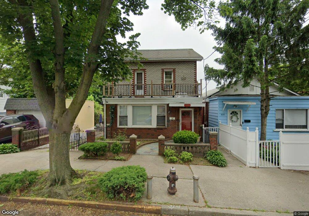
923 Calhoun Ave Bronx, NY 10465
Throgs Neck-Edgewater Park NeighborhoodEstimated Value: $748,763 - $1,118,000
--
Bed
--
Bath
1,995
Sq Ft
$458/Sq Ft
Est. Value
About This Home
This home is located at 923 Calhoun Ave, Bronx, NY 10465 and is currently estimated at $914,441, approximately $458 per square foot. 923 Calhoun Ave is a home located in Bronx County with nearby schools including P.S. 14 Senator John Calandra, Herbert H Lehman High School, and St Benedict School.
Ownership History
Date
Name
Owned For
Owner Type
Purchase Details
Closed on
Jul 10, 2013
Sold by
Cavaliere Joseph
Bought by
Martinez Richard and Martinez Yarisol
Current Estimated Value
Home Financials for this Owner
Home Financials are based on the most recent Mortgage that was taken out on this home.
Original Mortgage
$476,215
Outstanding Balance
$351,918
Interest Rate
4.31%
Mortgage Type
New Conventional
Estimated Equity
$562,523
Purchase Details
Closed on
Aug 16, 1994
Sold by
Cavaliere Lena and Cavaliere Joseph
Bought by
Cavaliere Joseph
Create a Home Valuation Report for This Property
The Home Valuation Report is an in-depth analysis detailing your home's value as well as a comparison with similar homes in the area
Home Values in the Area
Average Home Value in this Area
Purchase History
| Date | Buyer | Sale Price | Title Company |
|---|---|---|---|
| Martinez Richard | $485,000 | -- | |
| Martinez Richard | $485,000 | -- | |
| Cavaliere Joseph | -- | First American Title Ins Co | |
| Cavaliere Joseph | -- | First American Title Ins Co |
Source: Public Records
Mortgage History
| Date | Status | Borrower | Loan Amount |
|---|---|---|---|
| Open | Martinez Richard | $476,215 | |
| Closed | Martinez Richard | $476,215 |
Source: Public Records
Tax History Compared to Growth
Tax History
| Year | Tax Paid | Tax Assessment Tax Assessment Total Assessment is a certain percentage of the fair market value that is determined by local assessors to be the total taxable value of land and additions on the property. | Land | Improvement |
|---|---|---|---|---|
| 2025 | $7,536 | $41,258 | $11,924 | $29,334 |
| 2024 | $7,536 | $38,923 | $11,121 | $27,802 |
| 2023 | $7,173 | $36,720 | $10,531 | $26,189 |
| 2022 | $7,043 | $49,800 | $13,560 | $36,240 |
| 2021 | $7,352 | $49,680 | $13,560 | $36,120 |
| 2020 | $6,982 | $48,120 | $13,560 | $34,560 |
| 2019 | $6,492 | $42,900 | $13,560 | $29,340 |
| 2014 | $3,436 | $29,030 | $13,748 | $15,282 |
Source: Public Records
Map
Nearby Homes
- 945 Swinton Ave
- 836 Revere Ave
- 837 Swinton Ave
- 831 Swinton Ave
- 1009 Brinsmade Ave
- 815 Swinton Ave
- - Ave
- 2864 Philip Ave
- 2866 Philip Ave
- 2808 Philip Ave
- 946 Balcom Ave
- 1049 Huntington Ave
- 3021 Barkley Ave
- 710 Revere Ave
- 924 Hollywood Ave
- 819 Hollywood Ave
- 755 Logan Ave
- 840 Hollywood Ave
- 731 Hollywood Ave
- 730 Logan Ave
- 925 Calhoun Ave
- 915 Calhoun Ave
- 929 Calhoun Ave
- 922 Quincy Ave
- 920 Quincy Ave
- 911 Calhoun Ave
- 924 Quincy Ave
- 916 Quincy Ave
- 926 Quincy Ave
- 931 Calhoun Ave
- 931 Calhoun Ave Unit 1
- 912 Quincy Ave
- 928 Quincy Ave
- 932 Quincy Ave
- 910 Quincy Ave
- 910 Quincy Ave Unit 2
- 910 Quincy Ave Unit 1
- 922 Calhoun Ave
- 916 Calhoun Ave
- 926 Calhoun Ave