923 Dockside Dr Port Huron, MI 48060
Estimated Value: $525,035 - $573,000
3
Beds
3
Baths
1,460
Sq Ft
$377/Sq Ft
Est. Value
About This Home
This home is located at 923 Dockside Dr, Port Huron, MI 48060 and is currently estimated at $550,259, approximately $376 per square foot. 923 Dockside Dr is a home located in St. Clair County with nearby schools including Woodrow Wilson Elementary School, Holland Woods Middle School, and Port Huron High School.
Ownership History
Date
Name
Owned For
Owner Type
Purchase Details
Closed on
Aug 29, 2025
Sold by
Meyers Shirlee A
Bought by
Daniels Thomas and Daniels Barbara
Current Estimated Value
Purchase Details
Closed on
Jun 16, 2022
Sold by
Charles Webb Raymond and Charles Cynthia
Bought by
Meyers Shirlee A
Purchase Details
Closed on
Nov 28, 2007
Sold by
Giacalone Jeanne Owen and Giacalone Francis J L
Bought by
Charles Raymond and Webb Cynthia
Create a Home Valuation Report for This Property
The Home Valuation Report is an in-depth analysis detailing your home's value as well as a comparison with similar homes in the area
Home Values in the Area
Average Home Value in this Area
Purchase History
| Date | Buyer | Sale Price | Title Company |
|---|---|---|---|
| Daniels Thomas | $550,000 | Liberty Title | |
| Meyers Shirlee A | $425,000 | Huron Title | |
| Charles Raymond | $362,500 | Metropolitan Title Comany |
Source: Public Records
Tax History Compared to Growth
Tax History
| Year | Tax Paid | Tax Assessment Tax Assessment Total Assessment is a certain percentage of the fair market value that is determined by local assessors to be the total taxable value of land and additions on the property. | Land | Improvement |
|---|---|---|---|---|
| 2025 | $8,764 | $213,200 | $0 | $0 |
| 2024 | $7,854 | $196,300 | $0 | $0 |
| 2023 | $7,422 | $183,200 | $0 | $0 |
| 2022 | $6,587 | $175,400 | $0 | $0 |
| 2021 | $6,255 | $182,800 | $0 | $0 |
| 2020 | $6,319 | $190,000 | $190,000 | $0 |
| 2019 | $6,205 | $148,700 | $0 | $0 |
| 2018 | $6,066 | $148,700 | $0 | $0 |
| 2016 | $4,729 | $134,900 | $0 | $0 |
| 2015 | $4,715 | $124,600 | $124,600 | $0 |
| 2014 | $4,715 | $124,600 | $124,600 | $0 |
| 2013 | -- | $124,600 | $0 | $0 |
Source: Public Records
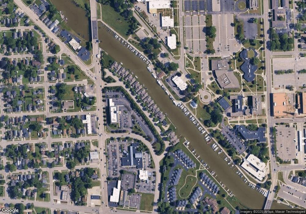
Map
Nearby Homes
- 921 Dockside Dr
- 927 Dockside Dr
- 917 Dockside Dr
- 933 Dockside Dr Unit 13
- 913 Dockside Dr
- 939 Dockside Dr
- 941 Dockside Dr
- 947 Dockside Dr
- 883 Dockside Dr
- 953 Dockside Dr
- 959 Dockside Dr
- 875 Dockside Dr
- 875 Dockside Dr Unit 20
- 965 Dockside Dr
- 871 Dockside Dr
- 971 Dockside Dr
- 971 Dockside Dr Unit 6
- 977 Dockside Dr
- 983 Dockside Dr
- 600 10th St Unit 633