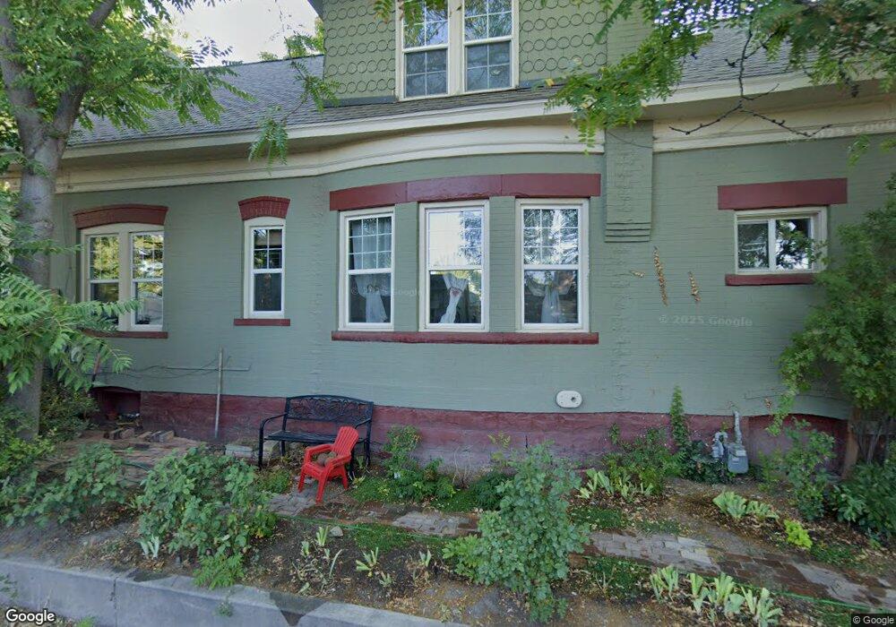
923 E 700 S Salt Lake City, UT 84102
East Central NeighborhoodEstimated Value: $732,000 - $1,004,000
5
Beds
1
Bath
3,016
Sq Ft
$289/Sq Ft
Est. Value
About This Home
This home is located at 923 E 700 S, Salt Lake City, UT 84102 and is currently estimated at $871,970, approximately $289 per square foot. 923 E 700 S is a home located in Salt Lake County with nearby schools including Bennion Elementary School, Wasatch Elementary School, and East High School.
Ownership History
Date
Name
Owned For
Owner Type
Purchase Details
Closed on
Jul 26, 2019
Sold by
Stephenson Rainer J and Taufer Gairia A
Bought by
Stephenson Rainer J
Current Estimated Value
Home Financials for this Owner
Home Financials are based on the most recent Mortgage that was taken out on this home.
Original Mortgage
$394,793
Outstanding Balance
$346,474
Interest Rate
3.8%
Mortgage Type
New Conventional
Estimated Equity
$525,496
Purchase Details
Closed on
Mar 9, 1998
Sold by
Starks George B and Starks Jane B
Bought by
Stephenson Rainer J and Taufer Gaiia A
Home Financials for this Owner
Home Financials are based on the most recent Mortgage that was taken out on this home.
Original Mortgage
$135,100
Interest Rate
7.11%
Create a Home Valuation Report for This Property
The Home Valuation Report is an in-depth analysis detailing your home's value as well as a comparison with similar homes in the area
Home Values in the Area
Average Home Value in this Area
Purchase History
| Date | Buyer | Sale Price | Title Company |
|---|---|---|---|
| Stephenson Rainer J | -- | First American Title | |
| Stephenson Rainer J | -- | -- |
Source: Public Records
Mortgage History
| Date | Status | Borrower | Loan Amount |
|---|---|---|---|
| Open | Stephenson Rainer J | $394,793 | |
| Closed | Stephenson Rainer J | $135,100 |
Source: Public Records
Tax History Compared to Growth
Tax History
| Year | Tax Paid | Tax Assessment Tax Assessment Total Assessment is a certain percentage of the fair market value that is determined by local assessors to be the total taxable value of land and additions on the property. | Land | Improvement |
|---|---|---|---|---|
| 2025 | $3,045 | $768,200 | $245,600 | $522,600 |
| 2024 | $3,045 | $581,000 | $232,400 | $348,600 |
| 2023 | $3,124 | $574,600 | $223,400 | $351,200 |
| 2022 | $3,463 | $597,600 | $219,000 | $378,600 |
| 2021 | $3,206 | $500,800 | $168,100 | $332,700 |
| 2020 | $2,585 | $384,400 | $152,900 | $231,500 |
| 2019 | $2,718 | $380,200 | $143,900 | $236,300 |
| 2018 | $2,498 | $340,400 | $143,900 | $196,500 |
| 2017 | $2,536 | $323,700 | $143,900 | $179,800 |
| 2016 | $2,541 | $308,000 | $117,900 | $190,100 |
| 2015 | $2,587 | $297,200 | $121,500 | $175,700 |
| 2014 | $2,450 | $279,900 | $119,100 | $160,800 |
Source: Public Records
Map
Nearby Homes
- 915 E 600 S
- 606 S 900 E
- 531 S 900 E Unit B3
- 525 S 900 E Unit B2
- 938 E Lowell Ave
- 543 S 900 E Unit A11
- 552 S Mcclelland St
- 515 S 1000 E Unit 706
- 515 S 1000 E Unit 406
- 515 S 1000 E Unit 1104
- 515 S 1000 E Unit 504
- 717 S 800 E
- 551 S Mcclelland St
- 504 S 900 E
- 1011 E 800 S
- 1021 E 800 S
- 1031 E 800 S
- 1117 E 700 S
- 823 S 1000 E
- 827 E 500 S