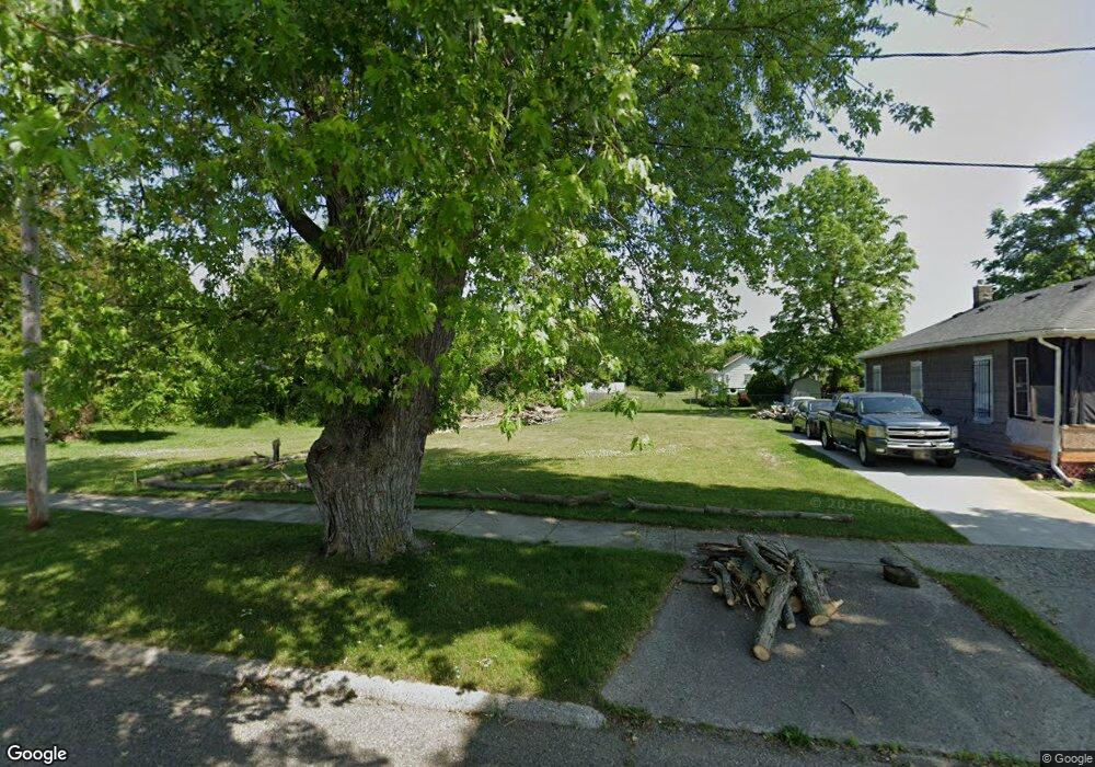
923 E Gillespie Ave Flint, MI 48505
King Avenue Plus NeighborhoodEstimated Value: $89,000
3
Beds
1
Bath
952
Sq Ft
$93/Sq Ft
Est. Value
About This Home
This home is located at 923 E Gillespie Ave, Flint, MI 48505 and is currently estimated at $89,000, approximately $93 per square foot. 923 E Gillespie Ave is a home located in Genesee County with nearby schools including Brownell STEM Academy, Flint Cultural Center Academy, and Greater Heights Academy.
Ownership History
Date
Name
Owned For
Owner Type
Purchase Details
Closed on
Sep 25, 2020
Sold by
Genesee Cnty Land Bk Authority
Bought by
Ellis Travis
Current Estimated Value
Purchase Details
Closed on
Dec 21, 2011
Sold by
Genesee County Treasurer
Bought by
Genesee County Land Bank
Purchase Details
Closed on
Oct 31, 2011
Sold by
Mich Alta Management Llc
Bought by
Reddy Neville
Purchase Details
Closed on
Jan 20, 2010
Sold by
Saroya Parry
Bought by
Mich Alta Management Llc
Purchase Details
Closed on
Nov 30, 2007
Sold by
Kildee Daniel T and Genesee County Treasurer
Bought by
Creative Properties
Create a Home Valuation Report for This Property
The Home Valuation Report is an in-depth analysis detailing your home's value as well as a comparison with similar homes in the area
Home Values in the Area
Average Home Value in this Area
Purchase History
| Date | Buyer | Sale Price | Title Company |
|---|---|---|---|
| Ellis Travis | -- | None Listed On Document | |
| Genesee County Land Bank | -- | None Available | |
| Reddy Neville | -- | Heights Title Agency Inc | |
| Mich Alta Management Llc | $6,500 | None Available | |
| Saroya Parry | $2,700 | None Available | |
| Summit Solutions Corp | $1,850 | None Available | |
| Creative Properties | $900 | None Available |
Source: Public Records
Tax History
| Year | Tax Paid | Tax Assessment Tax Assessment Total Assessment is a certain percentage of the fair market value that is determined by local assessors to be the total taxable value of land and additions on the property. | Land | Improvement |
|---|---|---|---|---|
| 2025 | $109 | $1,600 | $0 | $0 |
| 2024 | $103 | $1,400 | $0 | $0 |
| 2023 | $111 | $1,100 | $0 | $0 |
| 2022 | $0 | $800 | $0 | $0 |
| 2021 | $43 | $800 | $0 | $0 |
| 2020 | $0 | $0 | $0 | $0 |
| 2019 | $0 | $0 | $0 | $0 |
| 2018 | $0 | $0 | $0 | $0 |
| 2017 | $0 | $0 | $0 | $0 |
| 2016 | $0 | $0 | $0 | $0 |
| 2015 | -- | $0 | $0 | $0 |
| 2014 | -- | $0 | $0 | $0 |
| 2012 | -- | $0 | $0 | $0 |
Source: Public Records
Map
Nearby Homes
- 906 Addison St
- 902 Addison St
- 4028 North St
- 630 E Dartmouth St
- 3810 Marvin St
- 1422 Leith St
- 1510 Utah Ave
- 1526 Arizona Ave
- 218 E Jackson Ave
- 605 E Baltimore Blvd
- 115 E Genesee St
- 1526 Montana Ave
- 1518 Leith St
- 1445 Maryland Ave
- 132 W Jamieson St
- 1454 Delaware Ave
- 680 E Pierson Rd
- 1623 Montana Ave
- 200 W Mcclellan St
- 217 W Dewey St
- 927 E Gillespie Ave
- 929 E Gillespie Ave
- 926 Carton St
- 918 Carton St
- 914 Carton St
- 905 E Gillespie Ave
- 3613 Industrial Ave
- 910 Carton St
- 906 E Gillespie Avenue Ea
- 906 E Gillespie Ave
- 833 E Gillespie Ave
- 902 E Gillespie Ave
- 836 Carton St
- 929 Carton St
- 917 Carton St
- 829 E Gillespie Ave
- 913 Carton St
- 3701 Industrial Ave
- 909 Carton St
- 830 Carton St
Your Personal Tour Guide
Ask me questions while you tour the home.