923 Horton Rd Conneaut, OH 44030
Estimated Value: $202,000 - $292,000
3
Beds
2
Baths
1,320
Sq Ft
$180/Sq Ft
Est. Value
About This Home
This home is located at 923 Horton Rd, Conneaut, OH 44030 and is currently estimated at $236,955, approximately $179 per square foot. 923 Horton Rd is a home located in Ashtabula County with nearby schools including Lakeshore Primary Elementary School, Gateway Elementary School, and Conneaut Middle School.
Ownership History
Date
Name
Owned For
Owner Type
Purchase Details
Closed on
Feb 13, 2003
Sold by
Pledged Property Ii Llc
Bought by
Maenpaa Randy S
Current Estimated Value
Purchase Details
Closed on
Jan 23, 2003
Sold by
Pledged Property Ii Llc
Bought by
Maenpaa Randy S
Purchase Details
Closed on
Dec 31, 2002
Sold by
Shrf Mary Lou Pape Pr
Bought by
Pledged Property Ii
Create a Home Valuation Report for This Property
The Home Valuation Report is an in-depth analysis detailing your home's value as well as a comparison with similar homes in the area
Home Values in the Area
Average Home Value in this Area
Purchase History
| Date | Buyer | Sale Price | Title Company |
|---|---|---|---|
| Maenpaa Randy S | $72,250 | -- | |
| Maenpaa Randy S | $72,250 | -- | |
| Pledged Property Ii | $60,000 | -- |
Source: Public Records
Tax History Compared to Growth
Tax History
| Year | Tax Paid | Tax Assessment Tax Assessment Total Assessment is a certain percentage of the fair market value that is determined by local assessors to be the total taxable value of land and additions on the property. | Land | Improvement |
|---|---|---|---|---|
| 2024 | $3,682 | $50,340 | $4,590 | $45,750 |
| 2023 | $2,378 | $50,340 | $4,590 | $45,750 |
| 2022 | $2,153 | $40,150 | $3,540 | $36,610 |
| 2021 | $2,190 | $40,150 | $3,540 | $36,610 |
| 2020 | $2,189 | $40,150 | $3,540 | $36,610 |
| 2019 | $2,353 | $42,390 | $3,120 | $39,270 |
| 2018 | $2,245 | $42,390 | $3,120 | $39,270 |
| 2017 | $2,241 | $42,390 | $3,120 | $39,270 |
| 2016 | $2,000 | $41,060 | $3,010 | $38,050 |
| 2015 | $2,020 | $41,060 | $3,010 | $38,050 |
| 2014 | $1,788 | $41,060 | $3,010 | $38,050 |
| 2013 | $1,657 | $39,130 | $2,660 | $36,470 |
Source: Public Records
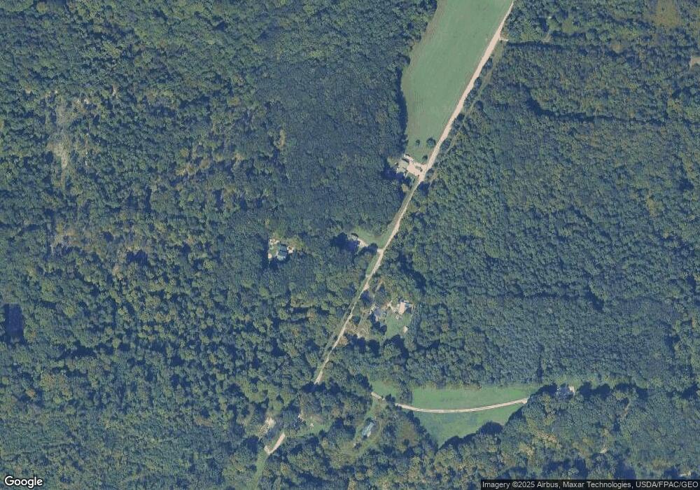
Map
Nearby Homes
- 5581 Hatches Corners Rd
- 136 W Under Ridge Rd
- 0 Center Rd
- 5958 Weaver Rd
- 220 Daniels Ave
- 5051 Center Rd
- VL Center Rd
- 6232 Weaver Rd
- 4377 E Center St
- 40 Oakland Blvd
- 6926 Reed Rd
- 210 W Main Rd
- 202 W Main Rd Unit 49
- 202 W Main Rd Unit Lot 150
- 7002 Reed Rd
- 7032 Reed Rd
- 18 Hillcrest Ct
- 855 Spring St Unit S9
- 0 Dorman Rd
- 0 Creek Rd Unit 5172426
- 926 Horton Rd
- 919 Horton Rd
- 925 Horton Rd
- 6029 Horton Rd
- 247 S Ridge Rd W
- 834 Keefus Rd
- 814 Keefus Rd
- 280 S Ridge Rd W
- 275 West St
- 284 S Ridge Rd W
- 213 S Ridge Rd W
- 213 S Ridge Rd W
- 790 Keefus Rd
- 288 S Ridge Rd W
- 833 Keefus Rd
- VL S Ridge Rd
- 771 Keefus Rd
- 199 S Ridge Rd W
- 740 Keefus Rd
- 183 S Ridge Rd W