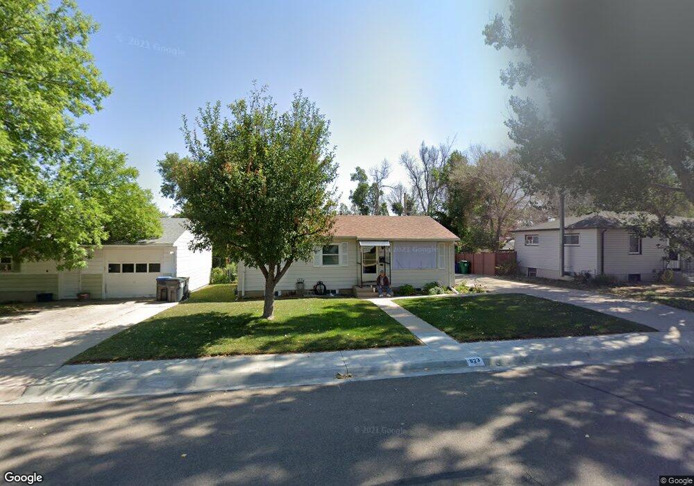
923 Kingham Dr Cheyenne, WY 82001
Sun Valley NeighborhoodEstimated Value: $306,000 - $342,000
--
Bed
--
Bath
912
Sq Ft
$354/Sq Ft
Est. Value
About This Home
This home is located at 923 Kingham Dr, Cheyenne, WY 82001 and is currently estimated at $322,504, approximately $353 per square foot. 923 Kingham Dr is a home located in Laramie County with nearby schools including Lebhart Elementary School, Fairview Elementary School, and Johnson Junior High School.
Ownership History
Date
Name
Owned For
Owner Type
Purchase Details
Closed on
Feb 19, 2015
Sold by
Vestal Kathy A
Bought by
Vestal Kathy A and Barnes Karin Kay
Current Estimated Value
Purchase Details
Closed on
Jul 17, 2006
Sold by
Miller Luella G
Bought by
Miller Luella G and Vestal Kathy A
Purchase Details
Closed on
Jul 25, 2005
Sold by
Balls Nina
Bought by
Miller Luella G
Home Financials for this Owner
Home Financials are based on the most recent Mortgage that was taken out on this home.
Original Mortgage
$79,550
Outstanding Balance
$41,311
Interest Rate
5.58%
Mortgage Type
Fannie Mae Freddie Mac
Estimated Equity
$281,193
Create a Home Valuation Report for This Property
The Home Valuation Report is an in-depth analysis detailing your home's value as well as a comparison with similar homes in the area
Home Values in the Area
Average Home Value in this Area
Purchase History
| Date | Buyer | Sale Price | Title Company |
|---|---|---|---|
| Vestal Kathy A | -- | None Available | |
| Miller Luella G | -- | None Available | |
| Miller Luella G | -- | -- |
Source: Public Records
Mortgage History
| Date | Status | Borrower | Loan Amount |
|---|---|---|---|
| Open | Miller Luella G | $79,550 |
Source: Public Records
Tax History Compared to Growth
Tax History
| Year | Tax Paid | Tax Assessment Tax Assessment Total Assessment is a certain percentage of the fair market value that is determined by local assessors to be the total taxable value of land and additions on the property. | Land | Improvement |
|---|---|---|---|---|
| 2025 | $1,565 | $17,331 | $2,915 | $14,416 |
| 2024 | $1,565 | $22,139 | $3,886 | $18,253 |
| 2023 | $1,547 | $21,879 | $3,886 | $17,993 |
| 2022 | $1,471 | $20,381 | $3,886 | $16,495 |
| 2021 | $1,332 | $18,410 | $3,886 | $14,524 |
| 2020 | $1,236 | $17,134 | $3,886 | $13,248 |
| 2019 | $1,150 | $15,931 | $3,886 | $12,045 |
| 2018 | $1,063 | $14,869 | $3,556 | $11,313 |
| 2017 | $1,027 | $14,225 | $2,853 | $11,372 |
| 2016 | $885 | $12,259 | $2,811 | $9,448 |
| 2015 | $821 | $11,368 | $2,811 | $8,557 |
| 2014 | $812 | $11,164 | $2,811 | $8,353 |
Source: Public Records
Map
Nearby Homes
- 3428 E 11th St
- 3429 E 12th St
- 956 Hillcrest Rd
- 3331 Belaire Ave
- 810 Cahill Dr
- 840 Stevens Dr
- Lot 2 E 13th St
- 1301 Diamond Ave
- 711 Monroe Ave
- 1426 Adams Ave
- 1442 Monroe Ct
- 4318 E 8th St
- 1330 Cleveland Ave
- 4404 Cottage Ln
- 828 Cleveland Ave
- 1175 Long Valley Rd
- 1621 Madison Ave
- 1125 Rosebud Rd
- TBD Campstool Rd
- 2334 Mccann Ave Unit 56