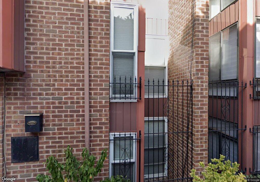
923 Latimer St Unit 9 Philadelphia, PA 19107
Washington Square West NeighborhoodEstimated Value: $814,673 - $980,000
3
Beds
3
Baths
1,842
Sq Ft
$492/Sq Ft
Est. Value
About This Home
This home is located at 923 Latimer St Unit 9, Philadelphia, PA 19107 and is currently estimated at $905,418, approximately $491 per square foot. 923 Latimer St Unit 9 is a home located in Philadelphia County with nearby schools including General George A McCall Public School, Benjamin Franklin High School, and Mastery Charter High School Lenfest Campus.
Ownership History
Date
Name
Owned For
Owner Type
Purchase Details
Closed on
Nov 26, 2003
Sold by
Park Pauline
Bought by
Weisgold Dean E and Cutler Cheri M
Current Estimated Value
Home Financials for this Owner
Home Financials are based on the most recent Mortgage that was taken out on this home.
Original Mortgage
$322,700
Outstanding Balance
$150,890
Interest Rate
6.01%
Mortgage Type
Purchase Money Mortgage
Estimated Equity
$754,528
Create a Home Valuation Report for This Property
The Home Valuation Report is an in-depth analysis detailing your home's value as well as a comparison with similar homes in the area
Home Values in the Area
Average Home Value in this Area
Purchase History
| Date | Buyer | Sale Price | Title Company |
|---|---|---|---|
| Weisgold Dean E | $454,000 | Lawyers Title Ins |
Source: Public Records
Mortgage History
| Date | Status | Borrower | Loan Amount |
|---|---|---|---|
| Open | Weisgold Dean E | $322,700 |
Source: Public Records
Tax History Compared to Growth
Tax History
| Year | Tax Paid | Tax Assessment Tax Assessment Total Assessment is a certain percentage of the fair market value that is determined by local assessors to be the total taxable value of land and additions on the property. | Land | Improvement |
|---|---|---|---|---|
| 2025 | $9,085 | $727,100 | $145,420 | $581,680 |
| 2024 | $9,085 | $727,100 | $145,420 | $581,680 |
| 2023 | $9,085 | $649,000 | $129,800 | $519,200 |
| 2022 | $10,304 | $604,000 | $129,800 | $474,200 |
| 2021 | $10,934 | $0 | $0 | $0 |
| 2020 | $10,934 | $0 | $0 | $0 |
| 2019 | $12,346 | $0 | $0 | $0 |
| 2018 | $7,566 | $0 | $0 | $0 |
| 2017 | $7,566 | $0 | $0 | $0 |
| 2016 | $7,146 | $0 | $0 | $0 |
| 2015 | $6,841 | $0 | $0 | $0 |
| 2014 | -- | $540,500 | $59,712 | $480,788 |
| 2012 | -- | $68,864 | $6,705 | $62,159 |
Source: Public Records
Map
Nearby Homes
- 925 Spruce St
- 218 S Delhi St
- 935 Spruce St
- 910 Spruce St Unit 10
- 932 Locust St
- 914 Spruce St Unit 9
- 250 S Alder St
- 908 10 Spruce St Unit 10
- 265 S 9th St Unit 1F
- 1016 Spruce St Unit 2F
- 1008 20 Spruce St Unit 21
- 1008 20 Spruce St Unit 1016B
- 1008 20 Spruce St Unit 1018 - 1M
- 1008-20 Spruce St Unit 3F
- 1017 Spruce St Unit C
- 1017 Spruce St Unit D
- 905 05 Clinton St Unit 4 F PH
- 1029 33 Spruce St Unit 200
- 1029 33 Spruce St Unit 304
- 1033 Spruce St Unit 200
- 921 Latimer St Unit A8
- 919 Latimer St Unit A7
- 925 Latimer St
- 924 Locust St Unit A4
- 926 Locust St Unit A5
- 928 Locust St Unit A6
- 922 Locust St
- 213 S Delhi St
- 204 S Delhi St Unit ID1049461P
- 204 S Delhi St Unit 3
- 204 S Delhi St Unit 1
- 204 S Delhi St Unit 4
- 204 S Delhi St Unit 3
- 204 S Delhi St Unit 2
- 230 S Hutchinson St Unit 1
- 230-32 S Hutchinson St
- 230-32 S Hutchinson St Unit 1
- 930 Locust St
- 930 Locust St Unit 1ST FLOOR
- 215 S Delhi St