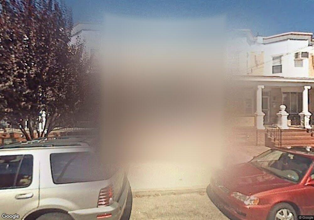
923 Mansion St Bristol, PA 19007
Estimated Value: $279,000 - $300,000
--
Bed
2
Baths
1,440
Sq Ft
$202/Sq Ft
Est. Value
About This Home
This home is located at 923 Mansion St, Bristol, PA 19007 and is currently estimated at $290,438, approximately $201 per square foot. 923 Mansion St is a home located in Bucks County with nearby schools including Snyder-Girotti Elementary School, Bristol High School, and St. Mark Elementary School.
Ownership History
Date
Name
Owned For
Owner Type
Purchase Details
Closed on
Jan 11, 2013
Sold by
Marucci David E and Vacirca Stefanie
Bought by
Marucci David E and Marucci Stefanie
Current Estimated Value
Home Financials for this Owner
Home Financials are based on the most recent Mortgage that was taken out on this home.
Original Mortgage
$154,182
Outstanding Balance
$107,203
Interest Rate
3.37%
Mortgage Type
FHA
Estimated Equity
$183,235
Purchase Details
Closed on
Aug 11, 2006
Sold by
Gross Benita
Bought by
Marucci David E and Vacirca Stefanie
Home Financials for this Owner
Home Financials are based on the most recent Mortgage that was taken out on this home.
Original Mortgage
$160,730
Interest Rate
6.83%
Mortgage Type
FHA
Create a Home Valuation Report for This Property
The Home Valuation Report is an in-depth analysis detailing your home's value as well as a comparison with similar homes in the area
Home Values in the Area
Average Home Value in this Area
Purchase History
| Date | Buyer | Sale Price | Title Company |
|---|---|---|---|
| Marucci David E | -- | None Available | |
| Marucci David E | $162,000 | None Available |
Source: Public Records
Mortgage History
| Date | Status | Borrower | Loan Amount |
|---|---|---|---|
| Open | Marucci David E | $154,182 | |
| Closed | Marucci David E | $160,730 |
Source: Public Records
Tax History Compared to Growth
Tax History
| Year | Tax Paid | Tax Assessment Tax Assessment Total Assessment is a certain percentage of the fair market value that is determined by local assessors to be the total taxable value of land and additions on the property. | Land | Improvement |
|---|---|---|---|---|
| 2025 | $3,912 | $16,800 | $2,720 | $14,080 |
| 2024 | $3,912 | $16,800 | $2,720 | $14,080 |
| 2023 | $3,878 | $16,800 | $2,720 | $14,080 |
| 2022 | $3,878 | $16,800 | $2,720 | $14,080 |
| 2021 | $3,878 | $16,800 | $2,720 | $14,080 |
| 2020 | $3,987 | $16,800 | $2,720 | $14,080 |
| 2019 | $3,971 | $16,800 | $2,720 | $14,080 |
| 2018 | $3,971 | $16,800 | $2,720 | $14,080 |
| 2017 | $3,950 | $16,800 | $2,720 | $14,080 |
| 2016 | $3,950 | $16,800 | $2,720 | $14,080 |
| 2015 | -- | $16,800 | $2,720 | $14,080 |
| 2014 | -- | $16,800 | $2,720 | $14,080 |
Source: Public Records
Map
Nearby Homes
- 418 Jefferson Ave Unit 10
- 418 Jefferson Ave Unit 4
- 418 Jefferson Ave Unit 11
- 627 Pine St
- 348 Jefferson Ave
- 637 Spruce St
- 612 Pond St
- 623 Spruce St
- 646 Spruce St
- 446 Pond St
- 303 Lincoln Ave
- 702 Fairview Ave
- 216 Dorrance St
- 209 Dorrance St
- 5517 Schumacher Dr
- 327 Wood St
- 232 Hayes St
- 114 Mifflin St
- 580 Bath St
- 5605 Toga St