923 Michael Way Camano Island, WA 98282
Estimated Value: $835,000 - $982,000
3
Beds
3
Baths
2,673
Sq Ft
$344/Sq Ft
Est. Value
About This Home
This home is located at 923 Michael Way, Camano Island, WA 98282 and is currently estimated at $918,772, approximately $343 per square foot. 923 Michael Way is a home located in Island County with nearby schools including Elger Bay Elementary School, Stanwood Middle School, and Stanwood High School.
Ownership History
Date
Name
Owned For
Owner Type
Purchase Details
Closed on
Jan 4, 2010
Sold by
Us Bank National Association
Bought by
Dolan Robert and Lacotta Mark
Current Estimated Value
Home Financials for this Owner
Home Financials are based on the most recent Mortgage that was taken out on this home.
Original Mortgage
$256,000
Outstanding Balance
$167,064
Interest Rate
4.91%
Mortgage Type
New Conventional
Estimated Equity
$751,708
Purchase Details
Closed on
Sep 23, 2009
Sold by
Henry Vincent G and Henry Lorna
Bought by
Us Bank National Association
Purchase Details
Closed on
Mar 17, 2005
Sold by
Fletcher Edwin Don and Fletcher Edna Viola
Bought by
Henry Vincent G and Henry Lorna
Home Financials for this Owner
Home Financials are based on the most recent Mortgage that was taken out on this home.
Original Mortgage
$320,000
Interest Rate
6.87%
Mortgage Type
Stand Alone First
Create a Home Valuation Report for This Property
The Home Valuation Report is an in-depth analysis detailing your home's value as well as a comparison with similar homes in the area
Home Values in the Area
Average Home Value in this Area
Purchase History
| Date | Buyer | Sale Price | Title Company |
|---|---|---|---|
| Dolan Robert | $320,000 | Ctc | |
| Us Bank National Association | $255,136 | None Available | |
| Henry Vincent G | $400,000 | Land Title Co Island Cnty |
Source: Public Records
Mortgage History
| Date | Status | Borrower | Loan Amount |
|---|---|---|---|
| Open | Dolan Robert | $256,000 | |
| Previous Owner | Henry Vincent G | $320,000 | |
| Closed | Henry Vincent G | $80,000 |
Source: Public Records
Tax History Compared to Growth
Tax History
| Year | Tax Paid | Tax Assessment Tax Assessment Total Assessment is a certain percentage of the fair market value that is determined by local assessors to be the total taxable value of land and additions on the property. | Land | Improvement |
|---|---|---|---|---|
| 2025 | $5,843 | $808,282 | $410,000 | $398,282 |
| 2024 | $5,964 | $793,183 | $390,000 | $403,183 |
| 2023 | $5,964 | $778,087 | $370,000 | $408,087 |
| 2022 | $5,320 | $723,958 | $350,000 | $373,958 |
| 2021 | $5,038 | $573,619 | $260,000 | $313,619 |
| 2020 | $4,858 | $526,321 | $220,000 | $306,321 |
| 2019 | $4,470 | $501,115 | $260,000 | $241,115 |
| 2018 | $4,290 | $461,839 | $220,000 | $241,839 |
| 2017 | $3,608 | $410,515 | $180,000 | $230,515 |
| 2016 | $3,632 | $383,260 | $150,000 | $233,260 |
| 2015 | -- | $371,132 | $140,000 | $231,132 |
| 2013 | -- | $376,636 | $140,000 | $236,636 |
Source: Public Records
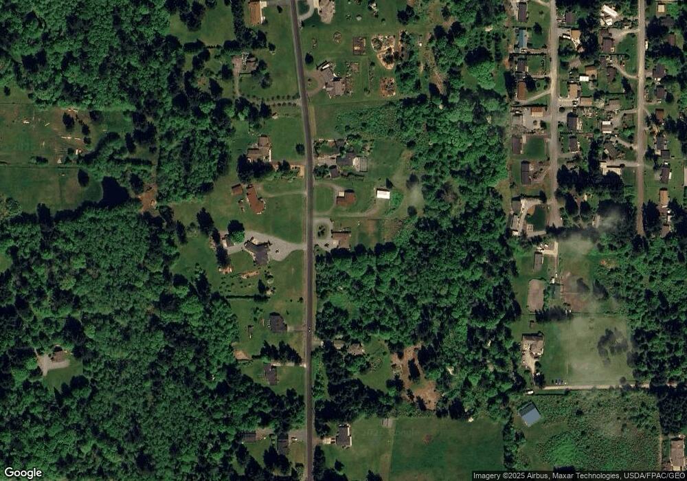
Map
Nearby Homes
- 979 Cavalero Rd
- 1067 Saint Moritz Ct
- 1095 Saint Moritz Ct
- 638 Michael Way
- 940 Hoppy Trail Way
- 0 Noble Fir Ln Unit NWM2377874
- 505 Michelle Dr
- 501 S Vesper Way
- 169 Driftwood Shores Rd
- 1242 Youngwood Rd
- 998 Circle Dr
- 1028 Circle Dr
- 446 Lehman Dr
- 1428 Lakewood Dr
- 1256 Youngwood Rd
- 603 Forrest Way
- 592 Kodiak Ave
- 1881 Lake Dr
- 945 Secord Ct
- 1465 Lake Dr
- 907 Michael Way
- 901 Michael Way
- 912 Michael Way
- 952 Michael Way
- 930 Michael Way
- 900 Michael Way
- 984 Michael Way
- 875 Michael Way
- 0 Michael Way
- 0 Michael Way Unit NWM1739136
- 920 Margie Ann Dr
- 985 Michael Way
- 882 Michael Way
- 906 Margie Ann Dr
- 898 S Margie Ann Dr
- 986 Michael Way
- 0 Cavalero Rd
- 3 Cavalero Rd
- 1 Cavalero Rd
- 2 Cavalero Rd