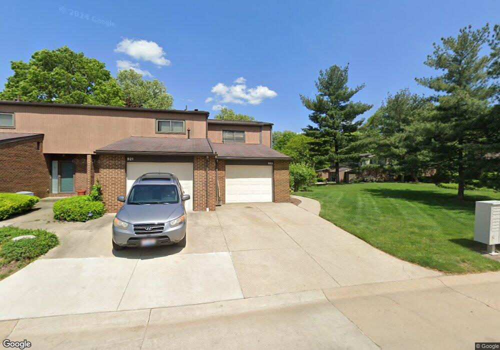
923 Morningstar Dr Unit 923 Akron, OH 44307
Downtown Akron NeighborhoodEstimated Value: $132,728 - $166,000
2
Beds
2
Baths
1,188
Sq Ft
$125/Sq Ft
Est. Value
About This Home
This home is located at 923 Morningstar Dr Unit 923, Akron, OH 44307 and is currently estimated at $148,682, approximately $125 per square foot. 923 Morningstar Dr Unit 923 is a home located in Summit County with nearby schools including Middlebury Academy, Summit Academy School, and Emmanuel Christian Academy.
Ownership History
Date
Name
Owned For
Owner Type
Purchase Details
Closed on
Jan 13, 2005
Sold by
Wolf Catherine
Bought by
Rumph Sundra R
Current Estimated Value
Home Financials for this Owner
Home Financials are based on the most recent Mortgage that was taken out on this home.
Original Mortgage
$80,740
Outstanding Balance
$41,168
Interest Rate
5.9%
Mortgage Type
Unknown
Estimated Equity
$107,514
Purchase Details
Closed on
Aug 9, 2004
Sold by
Jeffers Thomas C and Jeffers Anna M
Bought by
Wolf Catherine
Home Financials for this Owner
Home Financials are based on the most recent Mortgage that was taken out on this home.
Original Mortgage
$51,450
Interest Rate
9%
Mortgage Type
Seller Take Back
Create a Home Valuation Report for This Property
The Home Valuation Report is an in-depth analysis detailing your home's value as well as a comparison with similar homes in the area
Home Values in the Area
Average Home Value in this Area
Purchase History
| Date | Buyer | Sale Price | Title Company |
|---|---|---|---|
| Rumph Sundra R | $85,000 | -- | |
| Wolf Catherine | $50,716 | Ohio Fidelity Title | |
| Wolf Catherine | $56,000 | Ohio Fidelity Title Agency I |
Source: Public Records
Mortgage History
| Date | Status | Borrower | Loan Amount |
|---|---|---|---|
| Open | Rumph Sundra R | $80,740 | |
| Previous Owner | Wolf Catherine | $51,450 |
Source: Public Records
Tax History Compared to Growth
Tax History
| Year | Tax Paid | Tax Assessment Tax Assessment Total Assessment is a certain percentage of the fair market value that is determined by local assessors to be the total taxable value of land and additions on the property. | Land | Improvement |
|---|---|---|---|---|
| 2025 | $1,737 | $31,962 | $3,801 | $28,161 |
| 2024 | $1,737 | $31,962 | $3,801 | $28,161 |
| 2023 | $1,737 | $31,962 | $3,801 | $28,161 |
| 2022 | $1,869 | $27,140 | $3,224 | $23,916 |
| 2021 | $1,870 | $27,140 | $3,224 | $23,916 |
| 2020 | $1,843 | $27,140 | $3,220 | $23,920 |
| 2019 | $1,627 | $21,600 | $3,220 | $18,380 |
| 2018 | $1,604 | $21,600 | $3,120 | $18,480 |
| 2017 | $1,422 | $21,600 | $3,120 | $18,480 |
| 2016 | $1,423 | $18,670 | $3,120 | $15,550 |
| 2015 | $1,422 | $18,670 | $3,120 | $15,550 |
| 2014 | $1,410 | $18,670 | $3,120 | $15,550 |
| 2013 | $2,167 | $30,090 | $3,120 | $26,970 |
Source: Public Records
Map
Nearby Homes
- 263 Millcreek Dr Unit 263
- 783 Boulevard St
- 385 Campbell St
- 108 Furnace Run Dr Unit 14108
- 810 Amherst St
- 834 Kenyon St
- 949 Raymond St
- 849 Amherst St
- 832 Yale St
- 817 Raymond St
- 829 Yale St
- 151 Russell Ave
- 837 Yale St
- 849 Yale St
- 677 Vernon Odom Blvd
- 577 Rhodes Ave
- 639 Bellevue Ave
- 650 Easter Ave
- 1132 Bristol Terrace
- 483 Bishop St
- 921 Morningstar Dr
- 919 Morningstar Dr
- 917 Morningstar Dr Unit 917
- 929 Morningstar Dr Unit 929
- 926 Morningstar Dr
- 931 Morningstar Dr
- 942 Trimble Dr Unit 942
- 928 Morningstar Dr Unit 928
- 944 Trimble Dr Unit 944
- 957 Trimble Dr
- 955 Trimble Dr Unit 955
- 940 Trimble Dr
- 922 Morningstar Dr Unit 922
- 920 Morningstar Dr
- 924 Morningstar Dr Unit 924
- 938 Trimble Dr Unit 938
- 933 Morningstar Dr
- 918 Morningstar Dr Unit 918
- 935 Morningstar Dr Unit 935
- 953 Trimble Dr