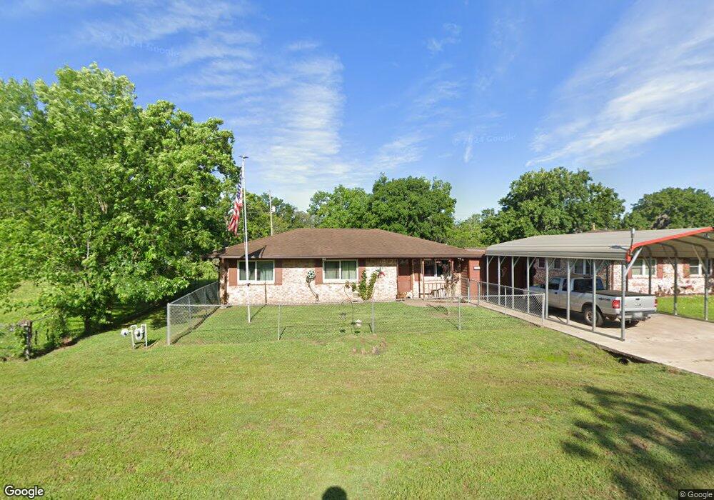
923 Mulberry Ln Brazoria, TX 77422
Estimated Value: $230,545 - $240,000
--
Bed
2
Baths
1,595
Sq Ft
$147/Sq Ft
Est. Value
About This Home
This home is located at 923 Mulberry Ln, Brazoria, TX 77422 and is currently estimated at $235,136, approximately $147 per square foot. 923 Mulberry Ln is a home located in Brazoria County.
Ownership History
Date
Name
Owned For
Owner Type
Purchase Details
Closed on
Apr 25, 2024
Sold by
Hinds Gary
Bought by
Hinds Max
Current Estimated Value
Purchase Details
Closed on
Jul 24, 2020
Sold by
Jones Priscilla Gail Alexander and Alexander Douglas Ray
Bought by
Hinds Gary
Purchase Details
Closed on
Nov 21, 1994
Sold by
Lowe Eugene and Lowe Janell
Bought by
Alexander Douglas R and Alexander Paul D
Home Financials for this Owner
Home Financials are based on the most recent Mortgage that was taken out on this home.
Original Mortgage
$20,000
Interest Rate
8.88%
Create a Home Valuation Report for This Property
The Home Valuation Report is an in-depth analysis detailing your home's value as well as a comparison with similar homes in the area
Home Values in the Area
Average Home Value in this Area
Purchase History
| Date | Buyer | Sale Price | Title Company |
|---|---|---|---|
| Hinds Max | -- | None Listed On Document | |
| Hinds Gary | -- | Fidelity National Title | |
| Alexander Douglas R | -- | -- |
Source: Public Records
Mortgage History
| Date | Status | Borrower | Loan Amount |
|---|---|---|---|
| Previous Owner | Alexander Douglas R | $20,000 |
Source: Public Records
Tax History Compared to Growth
Tax History
| Year | Tax Paid | Tax Assessment Tax Assessment Total Assessment is a certain percentage of the fair market value that is determined by local assessors to be the total taxable value of land and additions on the property. | Land | Improvement |
|---|---|---|---|---|
| 2025 | $4,847 | $238,820 | $28,220 | $210,600 |
| 2023 | $4,847 | $246,510 | $25,700 | $220,810 |
| 2022 | $2,921 | $129,330 | $22,680 | $106,650 |
| 2021 | $2,510 | $106,490 | $19,660 | $86,830 |
| 2020 | $3,857 | $155,920 | $18,140 | $137,780 |
| 2019 | $3,831 | $150,090 | $15,960 | $134,130 |
| 2018 | $3,653 | $142,320 | $15,960 | $126,360 |
| 2017 | $3,778 | $142,320 | $15,960 | $126,360 |
| 2016 | $3,778 | $142,320 | $15,960 | $126,360 |
| 2014 | $662 | $92,570 | $15,960 | $76,610 |
Source: Public Records
Map
Nearby Homes
- 307 Avenue G
- 523 Lazy Ln
- 229 Yaupon Dr
- 232 Magnolia St
- 0 Pecan Dr
- 409 Carlton St
- 706 E New York St
- 549 E New York St
- 338 County Road 912a
- 4773 County Road 652
- 1208 S Brooks St
- 230 E New York St
- 34654 Fm 521 Rd
- 8922 Fm 521 Rd
- 310 E Texas St
- 401 E Texas St
- 0 Cr-747a
- TBD Cr-318
- 320 Cr-320
- 0 Cr-318 Unit 18304666