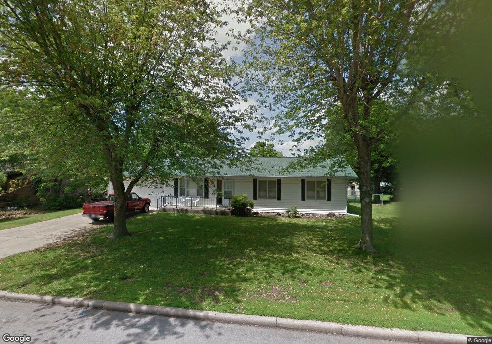
923 Ridgecrest Ave Carthage, MO 64836
Estimated Value: $187,000 - $226,000
3
Beds
2
Baths
1,500
Sq Ft
$136/Sq Ft
Est. Value
About This Home
This home is located at 923 Ridgecrest Ave, Carthage, MO 64836 and is currently estimated at $203,909, approximately $135 per square foot. 923 Ridgecrest Ave is a home located in Jasper County with nearby schools including Carthage High School, St. Ann's Catholic School, and Victory Academy.
Ownership History
Date
Name
Owned For
Owner Type
Purchase Details
Closed on
Nov 18, 2022
Sold by
Kennell Delores L
Bought by
Blankenship Thomas W
Current Estimated Value
Purchase Details
Closed on
Jul 9, 2007
Sold by
Carter Jerry D and Carter Muriel A
Bought by
Gribble Dorothy M
Home Financials for this Owner
Home Financials are based on the most recent Mortgage that was taken out on this home.
Original Mortgage
$81,000
Interest Rate
6.37%
Mortgage Type
Purchase Money Mortgage
Create a Home Valuation Report for This Property
The Home Valuation Report is an in-depth analysis detailing your home's value as well as a comparison with similar homes in the area
Home Values in the Area
Average Home Value in this Area
Purchase History
| Date | Buyer | Sale Price | Title Company |
|---|---|---|---|
| Blankenship Thomas W | -- | -- | |
| Gribble Dorothy M | -- | Jct |
Source: Public Records
Mortgage History
| Date | Status | Borrower | Loan Amount |
|---|---|---|---|
| Previous Owner | Gribble Dorothy M | $81,000 |
Source: Public Records
Tax History Compared to Growth
Tax History
| Year | Tax Paid | Tax Assessment Tax Assessment Total Assessment is a certain percentage of the fair market value that is determined by local assessors to be the total taxable value of land and additions on the property. | Land | Improvement |
|---|---|---|---|---|
| 2025 | $829 | $17,820 | $4,410 | $13,410 |
| 2024 | $829 | $16,110 | $4,410 | $11,700 |
| 2023 | $829 | $16,110 | $4,410 | $11,700 |
| 2022 | $813 | $15,840 | $4,410 | $11,430 |
| 2021 | $804 | $15,840 | $4,410 | $11,430 |
| 2020 | $778 | $14,690 | $4,410 | $10,280 |
| 2019 | $779 | $14,690 | $4,410 | $10,280 |
| 2018 | $734 | $13,870 | $0 | $0 |
| 2017 | $736 | $13,870 | $0 | $0 |
| 2016 | $733 | $13,870 | $0 | $0 |
| 2015 | $678 | $13,870 | $0 | $0 |
| 2014 | $678 | $13,870 | $0 | $0 |
Source: Public Records
Map
Nearby Homes
- 1922 Southwood Ln
- 1910 Wynwood Dr
- 2141 Carrie St
- 837 Modern Way
- 909 Durward Hall Dr
- 925 Gene Taylor Dr
- 1106 Southern Hills
- 1743 S River St
- 2032 Alison St
- NE COR Airport Dr & River
- 1314 Patrick Place
- 2206 Benjamin Dr
- 739 Sheridan St
- 1131 Belle Air Place
- 1211 E Airport Dr
- 1012 Euclid Blvd
- 824 Euclid Blvd
- 839 Euclid Blvd
- 1647 Glenwood Place
- TBD Lexie Ln
- 925 Ridgecrest Ave
- 922 Ridgecrest Ave
- 913 Ridgecrest Ave
- 930 Ridgecrest Ave
- 916 Ridgecrest Ave
- 943 Ridgecrest Ave
- 901 Ridgecrest Ave
- 924 E Fairview Ave
- 932 E Fairview Ave
- 916 E Fairview Ave
- 942 Ridgecrest Ave
- 900 Ridgecrest Ave
- 951 Ridgecrest Ave Unit 1
- 951 Ridgecrest Ave
- 952 Ridgecrest Ave
- 944 E Fairview Ave
- 925 Lillie Dr
- 913 Lillie Dr
- 904 E Fairview Ave
- 943 Lillie Dr