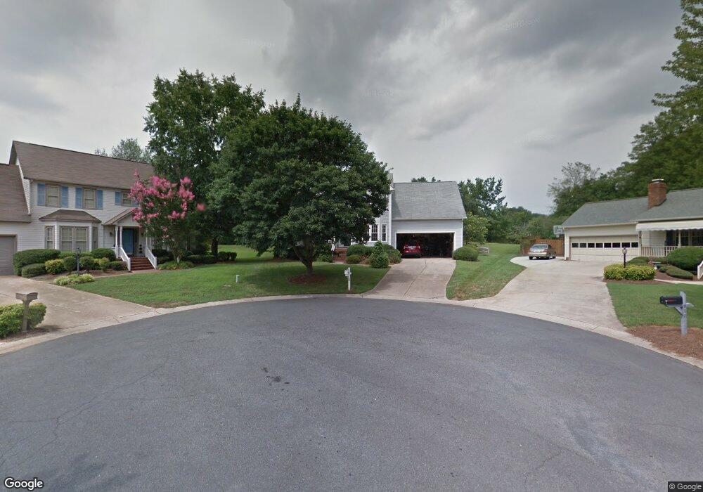
923 Romsey Ct Unit 10 Kannapolis, NC 28081
Estimated Value: $359,000 - $404,000
4
Beds
3
Baths
2,189
Sq Ft
$170/Sq Ft
Est. Value
About This Home
This home is located at 923 Romsey Ct Unit 10, Kannapolis, NC 28081 and is currently estimated at $373,049, approximately $170 per square foot. 923 Romsey Ct Unit 10 is a home located in Cabarrus County with nearby schools including Shady Brook Elementary School, Kannapolis Middle, and A.L. Brown High School.
Ownership History
Date
Name
Owned For
Owner Type
Purchase Details
Closed on
Dec 12, 2018
Sold by
Nelson Michael D and Nelson Sylvia J
Bought by
Mullis Dwayne Ashley and Mullis Sheryl Dawn
Current Estimated Value
Home Financials for this Owner
Home Financials are based on the most recent Mortgage that was taken out on this home.
Original Mortgage
$159,600
Outstanding Balance
$137,856
Interest Rate
3.87%
Mortgage Type
Adjustable Rate Mortgage/ARM
Estimated Equity
$235,193
Purchase Details
Closed on
Oct 1, 1988
Create a Home Valuation Report for This Property
The Home Valuation Report is an in-depth analysis detailing your home's value as well as a comparison with similar homes in the area
Home Values in the Area
Average Home Value in this Area
Purchase History
| Date | Buyer | Sale Price | Title Company |
|---|---|---|---|
| Mullis Dwayne Ashley | $199,500 | None Available | |
| -- | $113,500 | -- |
Source: Public Records
Mortgage History
| Date | Status | Borrower | Loan Amount |
|---|---|---|---|
| Open | Mullis Dwayne Ashley | $159,600 |
Source: Public Records
Tax History Compared to Growth
Tax History
| Year | Tax Paid | Tax Assessment Tax Assessment Total Assessment is a certain percentage of the fair market value that is determined by local assessors to be the total taxable value of land and additions on the property. | Land | Improvement |
|---|---|---|---|---|
| 2025 | $3,249 | $286,090 | $65,000 | $221,090 |
| 2024 | $3,249 | $286,090 | $65,000 | $221,090 |
| 2023 | $2,664 | $194,450 | $46,000 | $148,450 |
| 2022 | $2,664 | $194,450 | $46,000 | $148,450 |
| 2021 | $2,664 | $194,450 | $46,000 | $148,450 |
| 2020 | $2,664 | $194,450 | $46,000 | $148,450 |
| 2019 | $2,348 | $171,420 | $32,000 | $139,420 |
| 2018 | $2,314 | $171,420 | $32,000 | $139,420 |
| 2017 | $2,322 | $174,610 | $32,000 | $142,610 |
| 2016 | $2,322 | $169,730 | $32,000 | $137,730 |
| 2015 | $2,090 | $169,730 | $32,000 | $137,730 |
| 2014 | $2,090 | $169,730 | $32,000 | $137,730 |
Source: Public Records
Map
Nearby Homes
- 808 Walker St
- 825 Margate Ave
- 806 Walker St
- 804 Evergreen Ave
- 0000 Bethpage Rd
- 807 Klondale Ave
- 1010 Sprucewood St
- 709 Robin Ave
- 00 Sapp Rd
- 828 Richard Ave
- 915 Sprucewood St
- 621 Pleasant Ave
- 1220 Lombardi St
- 510 Pleasant Ave
- Lot 1 Pleasant Ave
- 1110 Rogers Lake Rd
- 1209 Derbyshire Rd
- 500 Broad St
- 304 Bell St
- 1309 Red Birch Place
- 923 Romsey Ct
- 918 Victoria Ave
- 927 Romsey Ct
- 918A Victoria Ave
- 924 Romsey Ct
- 922 Victoria Ave
- 931 Romsey Ct
- 916 Victoria Ave
- 928 Romsey Ct
- 935 Victoria Ave
- 932 Romsey Ct
- 931 Victoria Ave
- 936 Victoria Ave
- 937 Gilling Ct
- 914 Wentworth Dr
- 910 Wentworth Dr
- 927 Victoria Ave
- 927 Victoria Ave Unit C6
- 914 Victoria Ave
- 1002 Wentworth Dr