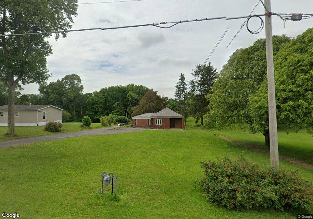
923 Whitestown Rd Butler, PA 16001
Connoquenessing Township NeighborhoodEstimated Value: $163,356 - $219,000
2
Beds
1
Bath
824
Sq Ft
$227/Sq Ft
Est. Value
About This Home
This home is located at 923 Whitestown Rd, Butler, PA 16001 and is currently estimated at $187,089, approximately $227 per square foot. 923 Whitestown Rd is a home located in Butler County with nearby schools including Butler Intermediate High School and Butler Middle School.
Ownership History
Date
Name
Owned For
Owner Type
Purchase Details
Closed on
May 31, 2024
Sold by
Hanchosky Joseph L and Hanchosky Diane Christine
Bought by
Hanchosky Tyler M
Current Estimated Value
Home Financials for this Owner
Home Financials are based on the most recent Mortgage that was taken out on this home.
Original Mortgage
$145,500
Outstanding Balance
$143,671
Interest Rate
7.1%
Mortgage Type
New Conventional
Estimated Equity
$43,418
Purchase Details
Closed on
Dec 23, 2019
Sold by
The Estate Of Peter A Mitch
Bought by
Hanchosky Joseph L and Hanchosky John T
Create a Home Valuation Report for This Property
The Home Valuation Report is an in-depth analysis detailing your home's value as well as a comparison with similar homes in the area
Home Values in the Area
Average Home Value in this Area
Purchase History
| Date | Buyer | Sale Price | Title Company |
|---|---|---|---|
| Hanchosky Tyler M | $150,000 | None Listed On Document | |
| Hanchosky Joseph L | $120,000 | Attorney |
Source: Public Records
Mortgage History
| Date | Status | Borrower | Loan Amount |
|---|---|---|---|
| Open | Hanchosky Tyler M | $145,500 |
Source: Public Records
Tax History Compared to Growth
Tax History
| Year | Tax Paid | Tax Assessment Tax Assessment Total Assessment is a certain percentage of the fair market value that is determined by local assessors to be the total taxable value of land and additions on the property. | Land | Improvement |
|---|---|---|---|---|
| 2025 | $1,222 | $8,550 | $810 | $7,740 |
| 2024 | $1,195 | $8,550 | $810 | $7,740 |
| 2023 | $1,170 | $8,550 | $810 | $7,740 |
| 2022 | $1,166 | $8,550 | $810 | $7,740 |
| 2021 | $1,153 | $8,550 | $0 | $0 |
| 2020 | $1,153 | $8,550 | $810 | $7,740 |
| 2019 | $1,127 | $8,550 | $810 | $7,740 |
| 2018 | $1,119 | $8,550 | $810 | $7,740 |
| 2017 | $1,092 | $8,550 | $810 | $7,740 |
| 2016 | $290 | $8,550 | $810 | $7,740 |
| 2015 | $173 | $8,550 | $810 | $7,740 |
| 2014 | $173 | $8,550 | $810 | $7,740 |
Source: Public Records
Map
Nearby Homes
- 3012 Brandywine Blvd
- 2113 Winchester Ct
- 2043 Winchester Ct
- 101 Napa Ct
- 701 Daisy Lane Extension
- 119 Easy St
- 106 Orchard Dr
- 553 Dick Rd
- 105 Lawrence Ave
- Lot 10 Winterwood Dr
- 221 Deer Run Dr
- 219 Meridian Rd
- 594 Whitestown Rd
- LOT 134 Shannon Mills Dr
- 1303 Cherry Tree Dr
- 1304 Cherry Tree Dr
- 1302 Cherry Tree Dr
- 1301 Cherry Tree Dr
- 100 Marion Dr
- 1404 Cherry Tree Dr
- 914 Whitestown Rd
- 916 Whitestown Rd
- 932 Whitestown Rd
- 863 Whitestown Rd
- 951 Whitestown Rd
- 938 Whitestown Rd
- 861 Whitestown Rd
- 859 Whitestown Rd
- 934 Whitestown Rd
- 855 Whitestown Rd
- 1064 Silver Oak Dr
- 121 Silver Oak Dr
- 1062 Silver Oak Dr
- 119 Silver Oak Dr
- 1061 Silver Oak Dr
- 117 Silver Oak Dr
- 123 Silver Oak Dr
- 115 Silver Oak Dr
- 847 Whitestown Rd
- 848 Whitestown Rd