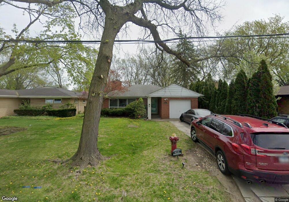
9235 Central Park Ave Evanston, IL 60203
North Skokie NeighborhoodEstimated Value: $569,000 - $607,000
4
Beds
2
Baths
1,535
Sq Ft
$388/Sq Ft
Est. Value
About This Home
This home is located at 9235 Central Park Ave, Evanston, IL 60203 and is currently estimated at $595,385, approximately $387 per square foot. 9235 Central Park Ave is a home located in Cook County with nearby schools including Walker Elementary School, Chute Middle School, and Evanston Township High School.
Ownership History
Date
Name
Owned For
Owner Type
Purchase Details
Closed on
Jun 24, 2004
Sold by
Meadows Philip and Meadows Samantha
Bought by
Balasis Michel and Bullock Melissa
Current Estimated Value
Home Financials for this Owner
Home Financials are based on the most recent Mortgage that was taken out on this home.
Original Mortgage
$360,000
Outstanding Balance
$161,082
Interest Rate
4.75%
Mortgage Type
Unknown
Estimated Equity
$434,303
Purchase Details
Closed on
Oct 27, 1998
Sold by
Jones Victor C and Jones Debra A
Bought by
Meadows Philip and Meadows Samantha K
Home Financials for this Owner
Home Financials are based on the most recent Mortgage that was taken out on this home.
Original Mortgage
$150,000
Interest Rate
7.02%
Purchase Details
Closed on
May 30, 1996
Sold by
Cole Taylor Bank
Bought by
Jones Victor C and Jones Debra A
Home Financials for this Owner
Home Financials are based on the most recent Mortgage that was taken out on this home.
Original Mortgage
$179,550
Interest Rate
7.75%
Create a Home Valuation Report for This Property
The Home Valuation Report is an in-depth analysis detailing your home's value as well as a comparison with similar homes in the area
Home Values in the Area
Average Home Value in this Area
Purchase History
| Date | Buyer | Sale Price | Title Company |
|---|---|---|---|
| Balasis Michel | $450,000 | Centennial Title Incorporate | |
| Meadows Philip | $229,000 | -- | |
| Jones Victor C | $283,500 | First American Title |
Source: Public Records
Mortgage History
| Date | Status | Borrower | Loan Amount |
|---|---|---|---|
| Open | Balasis Michel | $360,000 | |
| Previous Owner | Meadows Philip | $150,000 | |
| Previous Owner | Jones Victor C | $179,550 |
Source: Public Records
Tax History Compared to Growth
Tax History
| Year | Tax Paid | Tax Assessment Tax Assessment Total Assessment is a certain percentage of the fair market value that is determined by local assessors to be the total taxable value of land and additions on the property. | Land | Improvement |
|---|---|---|---|---|
| 2024 | $10,153 | $46,000 | $11,839 | $34,161 |
| 2023 | $9,722 | $46,000 | $11,839 | $34,161 |
| 2022 | $9,722 | $46,000 | $11,839 | $34,161 |
| 2021 | $10,480 | $43,508 | $7,103 | $36,405 |
| 2020 | $10,374 | $43,508 | $7,103 | $36,405 |
| 2019 | $10,232 | $47,811 | $7,103 | $40,708 |
| 2018 | $10,387 | $41,825 | $6,088 | $35,737 |
| 2017 | $10,167 | $41,825 | $6,088 | $35,737 |
| 2016 | $9,856 | $41,825 | $6,088 | $35,737 |
| 2015 | $8,647 | $35,277 | $5,242 | $30,035 |
| 2014 | $8,566 | $35,277 | $5,242 | $30,035 |
| 2013 | $8,454 | $35,277 | $5,242 | $30,035 |
Source: Public Records
Map
Nearby Homes
- 3500 Church St Unit 204
- 9101 Sleeping Bear Rd
- 8950 Ewing Ave
- 2113 Forestview Rd
- 8822 Central Park Ave
- 1633 Mcdaniel Ave
- 2022 Mcdaniel Ave
- 8822 Forestview Rd
- 2221 Lincolnwood Dr
- 2440 Simpson St
- 2633 Crawford Ave
- 8728 Trumbull Ave
- 1808 Laurel Ave
- 8713 Drake Ave
- 9628 Keystone Ave
- 3639 Crain St
- 1311 Mcdaniel Ave Unit C
- 3358 Dempster St
- 2422 Grant St
- 2101 Pioneer Rd
- 9239 Central Park Ave
- 9243 Central Park Ave
- 9230 Drake Ave
- 9236 Drake Ave
- 9226 Drake Ave
- 9215 Central Park Ave
- 9220 Drake Ave
- 9240 Drake Ave
- 9249 Central Park Ave
- 9230 Central Park Ave
- 9224 Central Park Ave
- 9214 Drake Ave
- 9209 Central Park Ave
- 9236 Central Park Ave
- 9236 Central Park Ave
- 9236 Central Park Ave
- 9246 Drake Ave
- 9216 Central Park Ave
- 9216 Central Park Ave