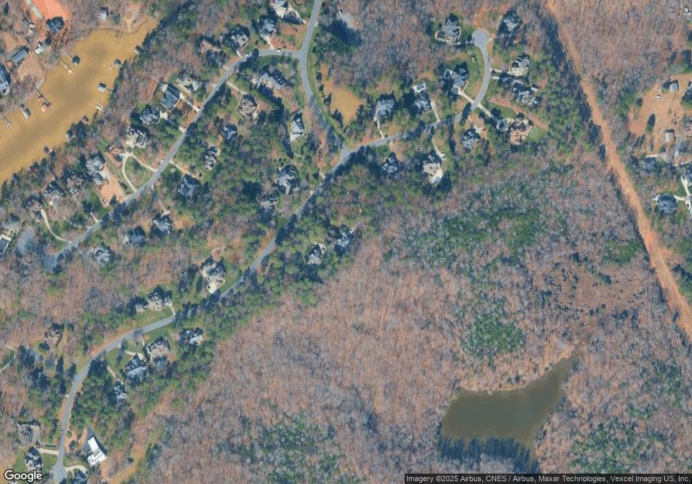
9235 Egret Ridge Unit 47 Belmont, NC 28012
Estimated Value: $738,000 - $810,000
3
Beds
3
Baths
2,449
Sq Ft
$319/Sq Ft
Est. Value
About This Home
This home is located at 9235 Egret Ridge Unit 47, Belmont, NC 28012 and is currently estimated at $780,840, approximately $318 per square foot. 9235 Egret Ridge Unit 47 is a home located in Gaston County with nearby schools including J B Page Elementary School, Belmont Central Elementary School, and Belmont Middle School.
Ownership History
Date
Name
Owned For
Owner Type
Purchase Details
Closed on
Sep 21, 2023
Sold by
Allison Kathleen B
Bought by
Acton Melanie Stone and Acton James Richard
Current Estimated Value
Purchase Details
Closed on
May 31, 2017
Sold by
Anderson David Robert and Andersin Suans B
Bought by
Allison Kathleen B
Purchase Details
Closed on
Jul 16, 2003
Sold by
Keg Construction Inc
Bought by
Anderson David Robert and Anderson Susan B
Home Financials for this Owner
Home Financials are based on the most recent Mortgage that was taken out on this home.
Original Mortgage
$360,050
Interest Rate
5.87%
Mortgage Type
Construction
Create a Home Valuation Report for This Property
The Home Valuation Report is an in-depth analysis detailing your home's value as well as a comparison with similar homes in the area
Home Values in the Area
Average Home Value in this Area
Purchase History
| Date | Buyer | Sale Price | Title Company |
|---|---|---|---|
| Acton Melanie Stone | $735,000 | None Listed On Document | |
| Allison Kathleen B | $440,000 | None Available | |
| Anderson David Robert | $79,000 | -- |
Source: Public Records
Mortgage History
| Date | Status | Borrower | Loan Amount |
|---|---|---|---|
| Previous Owner | Anderson David Robert | $360,050 |
Source: Public Records
Tax History Compared to Growth
Tax History
| Year | Tax Paid | Tax Assessment Tax Assessment Total Assessment is a certain percentage of the fair market value that is determined by local assessors to be the total taxable value of land and additions on the property. | Land | Improvement |
|---|---|---|---|---|
| 2025 | $4,398 | $615,970 | $193,200 | $422,770 |
| 2024 | $4,398 | $615,970 | $193,200 | $422,770 |
| 2023 | $4,281 | $615,970 | $193,200 | $422,770 |
| 2022 | $4,141 | $450,060 | $151,340 | $298,720 |
| 2021 | $3,961 | $450,060 | $151,340 | $298,720 |
| 2019 | $3,943 | $450,060 | $151,340 | $298,720 |
| 2018 | $4,706 | $517,142 | $149,700 | $367,442 |
| 2017 | $4,658 | $511,894 | $149,700 | $362,194 |
| 2016 | $4,709 | $511,894 | $0 | $0 |
| 2014 | $4,191 | $448,675 | $153,350 | $295,325 |
Source: Public Records
Map
Nearby Homes
- 9263 Egret Ridge
- 1032 Moonlight Mist Rd
- 1028 Moonlight Mist Rd
- 934 Armstrong Rd
- 974 Armstrong Rd
- 2901 S Point Rd
- 232 Morgans Branch Rd
- 2915 S Point Rd
- 8013 Waterview Dr Unit 4
- 246 Quiet Waters Rd Unit 18
- 164 Reese Wilson Rd
- 1029 Glade Spring Ct
- 105 Lake Mist Dr
- 2113 Wood Clough Ct
- 2112 Wood Clough Ct
- 3124 Ashwood Park Dr
- 1120 Verdant Ridge Cir
- 8112 Bayview Ln Unit 32
- 3228 Ashwood Park Dr Unit 294
- 2000 Gladelynn Ct
- 9235 Egret Ridge
- 9239 Egret Ridge
- 9225 Egret Ridge
- 9225 Egret Ridge
- 9236 Egret Ridge
- 9240 Egret Ridge
- 9247 Egret Ridge Unit 45
- 9247 Egret Ridge
- 9221 Egret Ridge
- 9034 Wing Pointe Dr
- 9034 Wing Point Dr Unit 25
- 9250 Egret Ridge
- 9224 Egret Dr
- 9224 Egret Ridge Dr
- 9224 Egret Ridge
- 9115 Shorewood Place
- 9119 Shorewood Place
- 9220 Egret Ridge Dr
- 9220 Egret Ridge Dr Unit 57
- 9111 Shorewood Place
