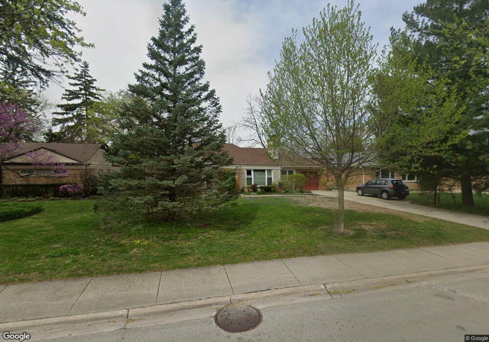
9236 Central Park Ave Evanston, IL 60203
North Skokie NeighborhoodEstimated Value: $490,000 - $597,000
4
Beds
2
Baths
1,516
Sq Ft
$367/Sq Ft
Est. Value
About This Home
This home is located at 9236 Central Park Ave, Evanston, IL 60203 and is currently estimated at $556,378, approximately $367 per square foot. 9236 Central Park Ave is a home located in Cook County with nearby schools including Walker Elementary School, Chute Middle School, and Evanston Township High School.
Ownership History
Date
Name
Owned For
Owner Type
Purchase Details
Closed on
Sep 24, 2023
Sold by
Yao Daquon and Yao Hong
Bought by
Daquan Yao And Hong Wu Living Trust and Yao
Current Estimated Value
Purchase Details
Closed on
Oct 17, 2011
Sold by
Aschenbrenner Andrea K
Bought by
Yao Daquan and Wu Hong
Home Financials for this Owner
Home Financials are based on the most recent Mortgage that was taken out on this home.
Original Mortgage
$166,400
Interest Rate
4.02%
Mortgage Type
New Conventional
Create a Home Valuation Report for This Property
The Home Valuation Report is an in-depth analysis detailing your home's value as well as a comparison with similar homes in the area
Home Values in the Area
Average Home Value in this Area
Purchase History
| Date | Buyer | Sale Price | Title Company |
|---|---|---|---|
| Daquan Yao And Hong Wu Living Trust | -- | None Listed On Document | |
| Yao Daquan | $208,000 | None Available |
Source: Public Records
Mortgage History
| Date | Status | Borrower | Loan Amount |
|---|---|---|---|
| Previous Owner | Yao Daquan | $166,400 |
Source: Public Records
Tax History Compared to Growth
Tax History
| Year | Tax Paid | Tax Assessment Tax Assessment Total Assessment is a certain percentage of the fair market value that is determined by local assessors to be the total taxable value of land and additions on the property. | Land | Improvement |
|---|---|---|---|---|
| 2024 | $4,429 | $20,278 | $5,707 | $14,571 |
| 2023 | $4,239 | $20,278 | $5,707 | $14,571 |
| 2022 | $4,239 | $20,278 | $5,707 | $14,571 |
| 2021 | $4,544 | $19,087 | $3,424 | $15,663 |
| 2020 | $4,502 | $19,087 | $3,424 | $15,663 |
| 2019 | $4,479 | $21,145 | $3,424 | $17,721 |
| 2018 | $4,139 | $17,016 | $2,934 | $14,082 |
| 2017 | $4,248 | $17,751 | $2,934 | $14,817 |
| 2016 | $4,295 | $18,388 | $2,934 | $15,454 |
| 2015 | $2,072 | $9,136 | $2,527 | $6,609 |
| 2014 | $2,056 | $9,136 | $2,527 | $6,609 |
| 2013 | $2,025 | $9,136 | $2,527 | $6,609 |
Source: Public Records
Map
Nearby Homes
- 3500 Church St Unit 204
- 9101 Sleeping Bear Rd
- 8950 Ewing Ave
- 8822 Central Park Ave
- 2113 Forestview Rd
- 8822 Forestview Rd
- 1633 Mcdaniel Ave
- 2022 Mcdaniel Ave
- 8728 Trumbull Ave
- 2221 Lincolnwood Dr
- 8713 Drake Ave
- 2440 Simpson St
- 2633 Crawford Ave
- 1808 Laurel Ave
- 3639 Crain St
- 1311 Mcdaniel Ave Unit C
- 9628 Keystone Ave
- 3358 Dempster St
- 8607 Lawndale Ave
- 9010 Keeler Ave
- 9236 Central Park Ave
- 9236 Central Park Ave
- 9252 Central Park Ave
- 9230 Central Park Ave
- 3601 Lyons St
- 9224 Central Park Ave
- 9243 Central Park Ave
- 9239 Central Park Ave
- 9249 Central Park Ave
- 9235 Central Park Ave
- 3555 Lyons St
- 9216 Central Park Ave
- 9216 Central Park Ave
- 9236 Drake Ave
- 9240 Drake Ave
- 9246 Drake Ave
- 9215 Central Park Ave
- 9230 Drake Ave
- 3537 Lyons St