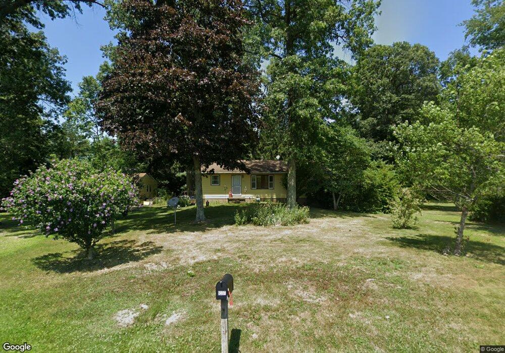
9237 Howman Rd West Salem, OH 44287
Estimated Value: $206,577 - $264,000
3
Beds
1
Bath
1,056
Sq Ft
$217/Sq Ft
Est. Value
About This Home
This home is located at 9237 Howman Rd, West Salem, OH 44287 and is currently estimated at $229,644, approximately $217 per square foot. 9237 Howman Rd is a home located in Wayne County with nearby schools including Northwestern Elementary School and Northwestern Middle School.
Ownership History
Date
Name
Owned For
Owner Type
Purchase Details
Closed on
Oct 24, 2003
Sold by
Thomas Frances M
Bought by
Low William C
Current Estimated Value
Home Financials for this Owner
Home Financials are based on the most recent Mortgage that was taken out on this home.
Original Mortgage
$111,000
Outstanding Balance
$63,320
Interest Rate
9.59%
Mortgage Type
Unknown
Estimated Equity
$166,324
Purchase Details
Closed on
Aug 7, 1997
Sold by
Mccoy Ronald T
Bought by
Thomas Frances M
Home Financials for this Owner
Home Financials are based on the most recent Mortgage that was taken out on this home.
Original Mortgage
$25,000
Interest Rate
7.68%
Mortgage Type
New Conventional
Purchase Details
Closed on
Feb 13, 1996
Sold by
Mcconnell Timothy R
Bought by
Mccoy Ronald T and Mccoy Phyllis R
Purchase Details
Closed on
Mar 31, 1988
Sold by
Buchanan Peggy J
Bought by
Mcconnell Timothy R and Mcconnell Col
Create a Home Valuation Report for This Property
The Home Valuation Report is an in-depth analysis detailing your home's value as well as a comparison with similar homes in the area
Home Values in the Area
Average Home Value in this Area
Purchase History
| Date | Buyer | Sale Price | Title Company |
|---|---|---|---|
| Low William C | $116,900 | Midland Title | |
| Thomas Frances M | $87,000 | -- | |
| Mccoy Ronald T | $48,500 | -- | |
| Mcconnell Timothy R | $52,000 | -- |
Source: Public Records
Mortgage History
| Date | Status | Borrower | Loan Amount |
|---|---|---|---|
| Open | Low William C | $111,000 | |
| Previous Owner | Thomas Frances M | $25,000 |
Source: Public Records
Tax History Compared to Growth
Tax History
| Year | Tax Paid | Tax Assessment Tax Assessment Total Assessment is a certain percentage of the fair market value that is determined by local assessors to be the total taxable value of land and additions on the property. | Land | Improvement |
|---|---|---|---|---|
| 2024 | $1,445 | $51,210 | $14,620 | $36,590 |
| 2023 | $1,445 | $51,210 | $14,620 | $36,590 |
| 2022 | $1,063 | $36,320 | $10,370 | $25,950 |
| 2021 | $1,065 | $36,320 | $10,370 | $25,950 |
| 2020 | $1,418 | $36,320 | $10,370 | $25,950 |
| 2019 | $1,294 | $31,090 | $8,980 | $22,110 |
| 2018 | $1,266 | $31,090 | $8,980 | $22,110 |
| 2017 | $1,255 | $31,090 | $8,980 | $22,110 |
| 2016 | $1,170 | $29,900 | $8,640 | $21,260 |
| 2015 | $1,151 | $29,900 | $8,640 | $21,260 |
| 2014 | $1,165 | $29,900 | $8,640 | $21,260 |
| 2013 | $1,206 | $30,010 | $8,550 | $21,460 |
Source: Public Records
Map
Nearby Homes
- 10212 Lattasburg Rd
- 9657 W Smithville Western Rd
- 1137 County Road 175
- 104 N Maple St
- 164 State Route 302
- 7789 Cedar Valley Rd
- 999 Township Road 133
- 156 U S 250
- 11827 Stratton Rd
- V/L #10 Rice Hill Rd
- V/L #8 Rice Hill Rd
- V/L #7 Rice Hill Rd
- V/L #5 Rice Hill Rd
- V/L #13 Rice Hill Rd
- V/L #11 Rice Hill Rd
- V/L #9 Rice Hill Rd
- V/L #2 Rice Hill Rd
- 568 County Road 175
- V/L #6 Rice Hill Rd
- V/L #4 Rice Hill Rd