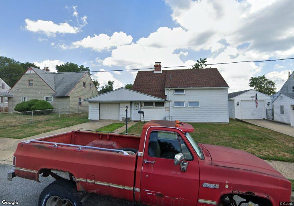
9239 Treaty Rd Philadelphia, PA 19114
Torresdale NeighborhoodEstimated Value: $333,000 - $346,000
3
Beds
2
Baths
1,200
Sq Ft
$282/Sq Ft
Est. Value
About This Home
This home is located at 9239 Treaty Rd, Philadelphia, PA 19114 and is currently estimated at $338,460, approximately $282 per square foot. 9239 Treaty Rd is a home located in Philadelphia County with nearby schools including Thomas Holme School, Lincoln High School, and Meehan Austin Middle School.
Ownership History
Date
Name
Owned For
Owner Type
Purchase Details
Closed on
Jan 28, 2009
Sold by
Barrett Bonnie R and Estate Of Frances Mae Ploucher
Bought by
Pellicciotti Luigi
Current Estimated Value
Home Financials for this Owner
Home Financials are based on the most recent Mortgage that was taken out on this home.
Original Mortgage
$155,158
Outstanding Balance
$96,698
Interest Rate
5%
Mortgage Type
FHA
Estimated Equity
$241,762
Create a Home Valuation Report for This Property
The Home Valuation Report is an in-depth analysis detailing your home's value as well as a comparison with similar homes in the area
Home Values in the Area
Average Home Value in this Area
Purchase History
| Date | Buyer | Sale Price | Title Company |
|---|---|---|---|
| Pellicciotti Luigi | $156,000 | None Available |
Source: Public Records
Mortgage History
| Date | Status | Borrower | Loan Amount |
|---|---|---|---|
| Open | Pellicciotti Luigi | $155,158 |
Source: Public Records
Tax History Compared to Growth
Tax History
| Year | Tax Paid | Tax Assessment Tax Assessment Total Assessment is a certain percentage of the fair market value that is determined by local assessors to be the total taxable value of land and additions on the property. | Land | Improvement |
|---|---|---|---|---|
| 2026 | $3,567 | $302,600 | $60,520 | $242,080 |
| 2025 | $3,567 | $302,600 | $60,520 | $242,080 |
| 2024 | $3,567 | $302,600 | $60,520 | $242,080 |
| 2023 | $3,567 | $254,800 | $50,960 | $203,840 |
| 2022 | $2,175 | $209,800 | $50,960 | $158,840 |
| 2021 | $2,805 | $0 | $0 | $0 |
| 2020 | $2,805 | $0 | $0 | $0 |
| 2019 | $2,686 | $0 | $0 | $0 |
| 2018 | $2,542 | $0 | $0 | $0 |
| 2017 | $2,542 | $0 | $0 | $0 |
| 2016 | $2,122 | $0 | $0 | $0 |
| 2015 | $2,031 | $0 | $0 | $0 |
| 2014 | -- | $181,600 | $88,200 | $93,400 |
| 2012 | -- | $22,368 | $7,105 | $15,263 |
Source: Public Records
Map
Nearby Homes
- 9214 Andover Rd
- 9311 Andover Rd
- 9202 Treaty Rd
- 9612 Convent Ave
- 9235 Outlook Ave
- 3414 Aubrey Ave
- 9328 Academy Rd
- 3427 Aubrey Ave
- 3108 Fairfield St
- 3416 Holyoke Rd
- 3215 Brookdale Rd
- 2959 Tremont St
- 3415 Holyoke Rd
- 9428 Woodbridge Rd
- 2843 Woodbridge Rd
- 3426 Fitler St
- 2833 Saxton Rd
- 3413 Primrose Rd
- 3526 Fitler St
- 3406 Grant Ave
- 9241 Treaty Rd
- 9237 Treaty Rd
- 9234 Andover Rd
- 9236 Andover Rd
- 9232 Andover Rd
- 9243 Treaty Rd
- 9235 Treaty Rd
- 9238 Treaty Rd
- 9236 Treaty Rd
- 9238 Andover Rd
- 9240 Treaty Rd
- 9230 Andover Rd
- 9245 Treaty Rd
- 9233 Treaty Rd
- 9242 Treaty Rd
- 9234 Treaty Rd
- 9240 Andover Rd
- 9228 Andover Rd
- 9244 Treaty Rd
- 9232 Treaty Rd