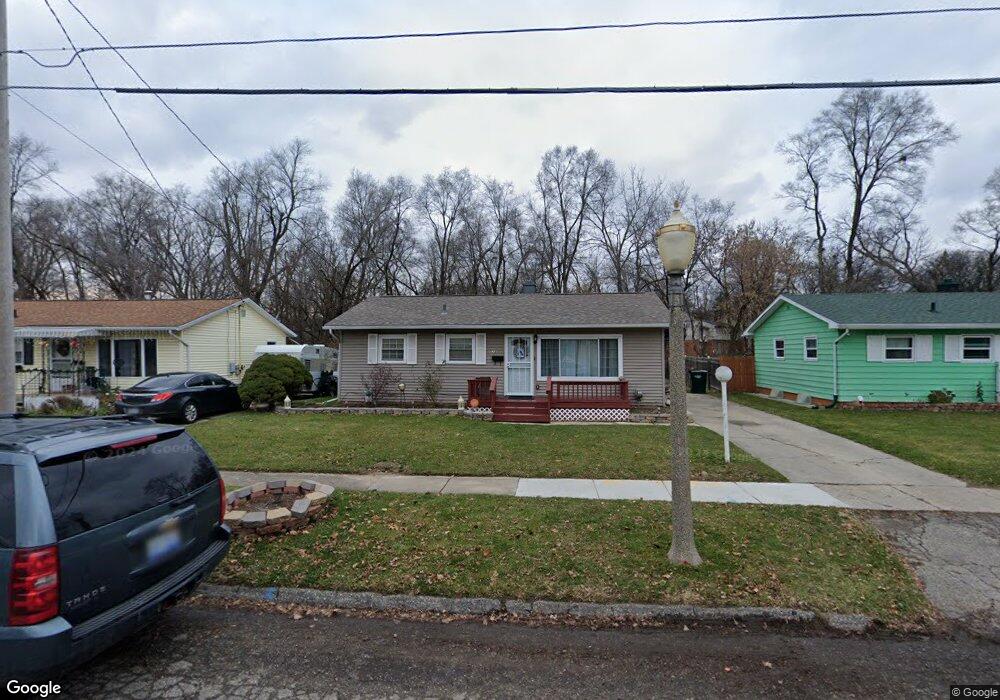
924 Dornell Ave Lansing, MI 48910
Old Everett NeighborhoodEstimated Value: $147,000 - $173,000
2
Beds
1
Bath
1,768
Sq Ft
$92/Sq Ft
Est. Value
About This Home
This home is located at 924 Dornell Ave, Lansing, MI 48910 and is currently estimated at $162,637, approximately $91 per square foot. 924 Dornell Ave is a home located in Ingham County with nearby schools including Reo Elementary School, Attwood School, and Everett High School.
Ownership History
Date
Name
Owned For
Owner Type
Purchase Details
Closed on
Oct 13, 2009
Sold by
Smith Larry E and Smith Liane M
Bought by
Bunn Leroy A
Current Estimated Value
Home Financials for this Owner
Home Financials are based on the most recent Mortgage that was taken out on this home.
Original Mortgage
$72,168
Outstanding Balance
$47,293
Interest Rate
5.15%
Mortgage Type
FHA
Estimated Equity
$115,344
Purchase Details
Closed on
Jan 22, 2009
Sold by
Smith Harold Wayne
Bought by
Us Bank National Association Nd
Create a Home Valuation Report for This Property
The Home Valuation Report is an in-depth analysis detailing your home's value as well as a comparison with similar homes in the area
Home Values in the Area
Average Home Value in this Area
Purchase History
| Date | Buyer | Sale Price | Title Company |
|---|---|---|---|
| Bunn Leroy A | $73,500 | Tri County Title Agency Llc | |
| Us Bank National Association Nd | $51,000 | None Available |
Source: Public Records
Mortgage History
| Date | Status | Borrower | Loan Amount |
|---|---|---|---|
| Open | Bunn Leroy A | $72,168 |
Source: Public Records
Tax History Compared to Growth
Tax History
| Year | Tax Paid | Tax Assessment Tax Assessment Total Assessment is a certain percentage of the fair market value that is determined by local assessors to be the total taxable value of land and additions on the property. | Land | Improvement |
|---|---|---|---|---|
| 2025 | $1,691 | $46,100 | $6,800 | $39,300 |
| 2024 | $13 | $40,100 | $6,800 | $33,300 |
| 2023 | $1,588 | $35,300 | $6,800 | $28,500 |
| 2022 | $1,436 | $29,900 | $6,100 | $23,800 |
| 2021 | $1,406 | $26,400 | $2,700 | $23,700 |
| 2020 | $1,397 | $24,300 | $2,700 | $21,600 |
| 2019 | $1,337 | $23,100 | $2,700 | $20,400 |
| 2018 | $1,256 | $21,100 | $2,700 | $18,400 |
| 2017 | $1,201 | $21,100 | $2,700 | $18,400 |
| 2016 | $1,166 | $20,800 | $2,700 | $18,100 |
| 2015 | $1,166 | $19,900 | $5,465 | $14,435 |
| 2014 | $1,166 | $19,900 | $5,465 | $14,435 |
Source: Public Records
Map
Nearby Homes
- 833 Dornell Ave
- 4935 Delray Dr
- 5006 Delbrook Ave
- 5026 Delray Dr Unit A
- 4414 S Martin Luther King jr Blvd
- 4407 Burchfield Ave
- 0 W Jolly Rd
- 1324 N Briarfield Dr
- 4221 S Martin Luther King Junior Blvd
- 1415 Reo Rd
- 1420 Reo Rd
- 4114 Burchfield Dr
- 1429 Pierce Rd
- 4125 Lowcroft Ave
- 4916 Tressa Dr
- 1422 Pierce Rd
- 600 W Cavanaugh Rd
- 1500 Pierce Rd
- 0 Eaton Ct
- 1113 Eaton Ct
- 934 Dornell Ave
- 914 Dornell Ave
- 925 Dornell Ave
- 929 Dornell Ave
- 933 Vincent Ct Unit 206
- 933 Vincent Ct Unit 34
- 940 Dornell Ave
- 910 Dornell Ave
- 910 Dornell 48
- 935 Vincent Ct Unit 33
- 935 Dornell Ave
- 937 Vincent Ct Unit 32
- 939 Vincent Ct Unit 31
- 931 Vincent Ct Unit 35
- 904 Dornell Ave
- 941 Vincent Ct Unit 30
- 944 Dornell Ave
- 941 Dornell Ave
- 913 Vincent Ct Unit 44