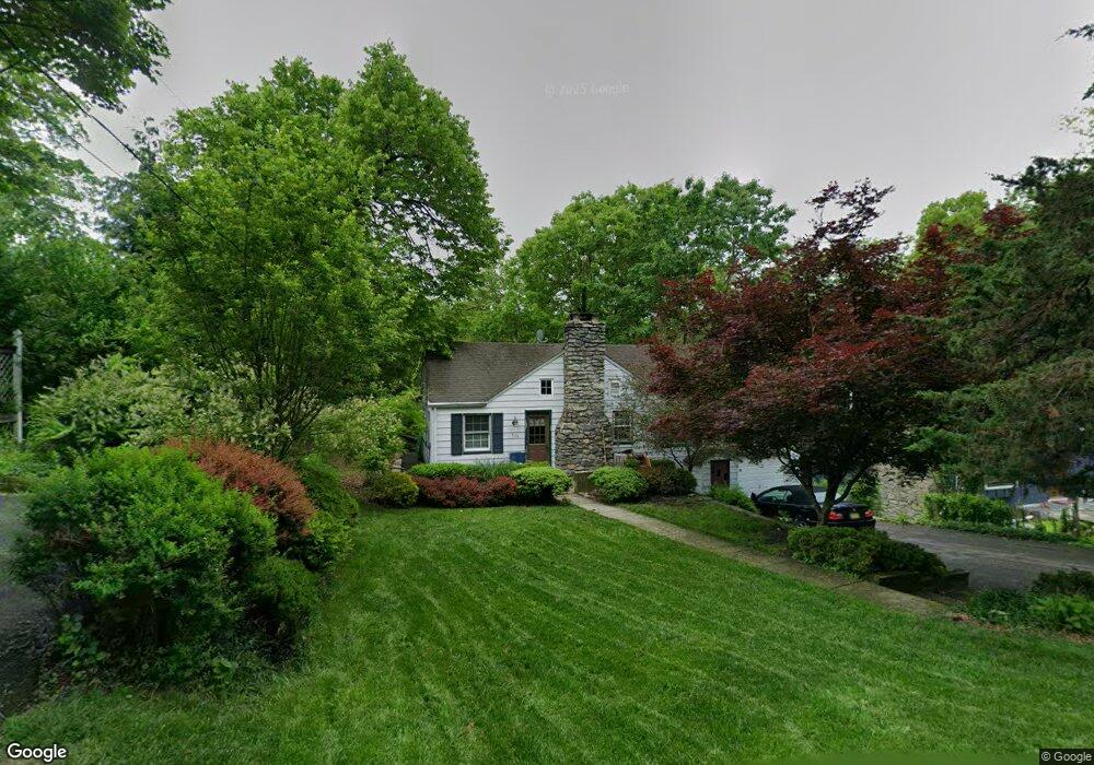
924 Kill Dr Newton, NJ 07860
Estimated Value: $288,685 - $389,000
--
Bed
--
Bath
968
Sq Ft
$357/Sq Ft
Est. Value
About This Home
This home is located at 924 Kill Dr, Newton, NJ 07860 and is currently estimated at $345,921, approximately $357 per square foot. 924 Kill Dr is a home located in Sussex County with nearby schools including Stillwater Township School and Kittatinny Regional High School.
Ownership History
Date
Name
Owned For
Owner Type
Purchase Details
Closed on
Jan 22, 2002
Sold by
Franco Valerie A
Bought by
Kirchner Dennis
Current Estimated Value
Home Financials for this Owner
Home Financials are based on the most recent Mortgage that was taken out on this home.
Original Mortgage
$154,598
Outstanding Balance
$63,625
Interest Rate
7.14%
Mortgage Type
FHA
Estimated Equity
$282,296
Create a Home Valuation Report for This Property
The Home Valuation Report is an in-depth analysis detailing your home's value as well as a comparison with similar homes in the area
Home Values in the Area
Average Home Value in this Area
Purchase History
| Date | Buyer | Sale Price | Title Company |
|---|---|---|---|
| Kirchner Dennis | $155,820 | -- |
Source: Public Records
Mortgage History
| Date | Status | Borrower | Loan Amount |
|---|---|---|---|
| Open | Kirchner Dennis | $154,598 |
Source: Public Records
Tax History Compared to Growth
Tax History
| Year | Tax Paid | Tax Assessment Tax Assessment Total Assessment is a certain percentage of the fair market value that is determined by local assessors to be the total taxable value of land and additions on the property. | Land | Improvement |
|---|---|---|---|---|
| 2025 | $6,650 | $183,300 | $100,200 | $83,100 |
| 2024 | $6,438 | $183,300 | $100,200 | $83,100 |
| 2023 | $6,438 | $183,300 | $100,200 | $83,100 |
| 2022 | $6,240 | $183,300 | $100,200 | $83,100 |
| 2021 | $6,102 | $183,300 | $100,200 | $83,100 |
| 2020 | $5,882 | $183,300 | $100,200 | $83,100 |
| 2019 | $5,646 | $183,300 | $100,200 | $83,100 |
| 2018 | $5,660 | $183,300 | $100,200 | $83,100 |
| 2017 | $5,570 | $183,300 | $100,200 | $83,100 |
| 2016 | $5,415 | $183,300 | $100,200 | $83,100 |
| 2015 | $5,683 | $183,300 | $100,200 | $83,100 |
| 2014 | $5,646 | $183,300 | $100,200 | $83,100 |
Source: Public Records
Map
Nearby Homes
- 931 Cedar Dr
- 903 Stony Rd
- 963 Edgewood Dr
- 965 Cedar Dr
- 907 Meadowbrook Rd
- 903 Cedar Dr
- 936 Dove Island Rd
- 51 Paulinskill Lake Rd
- 905 Gapview Ct
- 1024 County Road 619
- 920 Deer Run Rd
- 63 Van Horn Rd
- 44 Kohlbocker Rd
- 3 Roy Rd
- 20 Anderson Hill Rd
- 30 Old Swartswood Rd
- 20 Stillwater Rd
- 208 Willows Rd
- 1049 County Road 521
- 1055-1057 Rt521