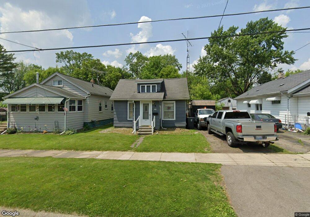
924 Knapp Ave Flint, MI 48503
Mannhall Park NeighborhoodEstimated Value: $46,000 - $53,638
2
Beds
1
Bath
871
Sq Ft
$58/Sq Ft
Est. Value
About This Home
This home is located at 924 Knapp Ave, Flint, MI 48503 and is currently estimated at $50,160, approximately $57 per square foot. 924 Knapp Ave is a home located in Genesee County with nearby schools including Durant-Tuuri-Mott Elementary School, St. Paul Lutheran School, and St John Vianney Catholic School.
Ownership History
Date
Name
Owned For
Owner Type
Purchase Details
Closed on
Jan 15, 2026
Sold by
Sanson Rene
Bought by
Botos Jerry
Current Estimated Value
Purchase Details
Closed on
Mar 29, 2018
Sold by
Bush Richard M and Bush Dencey
Bought by
Sanson Rene
Purchase Details
Closed on
Feb 10, 2018
Sold by
Wiedower Raymond and Graves Jeanne
Bought by
Richard M Bush and Richard Dencey Bush Joint
Purchase Details
Closed on
Jun 20, 2017
Sold by
Bush Richard M and Bush Dencey
Bought by
Wiedower Kymon D
Purchase Details
Closed on
Oct 17, 2012
Sold by
Bush Richard M
Bought by
Bush Richard M and Bush Dencey
Purchase Details
Closed on
Aug 8, 2008
Sold by
Cornelison Donna and Estate Of Catherine Mary Bradf
Bought by
Bush Richard M
Create a Home Valuation Report for This Property
The Home Valuation Report is an in-depth analysis detailing your home's value as well as a comparison with similar homes in the area
Home Values in the Area
Average Home Value in this Area
Purchase History
| Date | Buyer | Sale Price | Title Company |
|---|---|---|---|
| Botos Jerry | -- | None Listed On Document | |
| Sanson Rene | $6,000 | None Available | |
| Richard M Bush | -- | None Available | |
| Wiedower Kymon D | -- | None Available | |
| Bush Richard M | -- | None Available | |
| Bush Richard M | $10,000 | Guaranty Title Company |
Source: Public Records
Tax History
| Year | Tax Paid | Tax Assessment Tax Assessment Total Assessment is a certain percentage of the fair market value that is determined by local assessors to be the total taxable value of land and additions on the property. | Land | Improvement |
|---|---|---|---|---|
| 2025 | $722 | $15,000 | $0 | $0 |
| 2024 | $664 | $15,000 | $0 | $0 |
| 2023 | $657 | $12,600 | $0 | $0 |
| 2022 | $0 | $10,600 | $0 | $0 |
| 2021 | $677 | $9,400 | $0 | $0 |
| 2020 | $620 | $8,400 | $0 | $0 |
| 2019 | $610 | $7,300 | $0 | $0 |
| 2018 | $505 | $5,500 | $0 | $0 |
| 2017 | $639 | $0 | $0 | $0 |
| 2016 | $635 | $0 | $0 | $0 |
| 2015 | -- | $0 | $0 | $0 |
| 2014 | -- | $0 | $0 | $0 |
| 2012 | -- | $8,100 | $0 | $0 |
Source: Public Records
Map
Nearby Homes
- 916 Mann Ave
- 960 Mann Ave
- 911 Hughes Ave
- 976 Barney Ave
- 1017 Stocker Ave
- 3302 Van Buren Ave
- 932 Bradley Ave
- 2663 W Court St
- 1122 Stocker Ave
- 2710 Mansfield Ave
- 2805 Reynolds St
- 1202 Knapp Ave
- 945 Salisbury Ave
- 1114 Clancy Ave
- 3413 Augusta St
- 3517 Norwood Dr
- 3405 Sherwood Dr
- 1308 Barney Ave
- 0000 Beecher Rd
- 3320 Pencombe Place
Your Personal Tour Guide
Ask me questions while you tour the home.