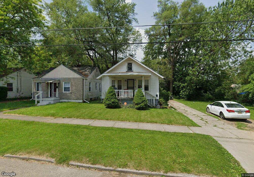
924 Mann Ave Flint, MI 48503
Mannhall Park NeighborhoodEstimated Value: $40,000 - $47,839
2
Beds
1
Bath
772
Sq Ft
$56/Sq Ft
Est. Value
About This Home
This home is located at 924 Mann Ave, Flint, MI 48503 and is currently estimated at $43,460, approximately $56 per square foot. 924 Mann Ave is a home located in Genesee County with nearby schools including Durant-Tuuri-Mott Elementary School, St. Paul Lutheran School, and First Flint Seventh-day Adventist Christian School.
Ownership History
Date
Name
Owned For
Owner Type
Purchase Details
Closed on
Mar 8, 2024
Sold by
Carpenter Melvin Rick and Carpenter Pamela J
Bought by
Carpenter Melvin Rick and Carpenter Pamela J
Current Estimated Value
Purchase Details
Closed on
Sep 26, 2003
Sold by
Gray Lester and The Revocable Living Trust Agr
Bought by
Carpenter Melvin Rick
Purchase Details
Closed on
Mar 4, 2002
Sold by
Gray Lester
Bought by
Gray Lester and Revocable Living Trust Agreeme
Create a Home Valuation Report for This Property
The Home Valuation Report is an in-depth analysis detailing your home's value as well as a comparison with similar homes in the area
Home Values in the Area
Average Home Value in this Area
Purchase History
| Date | Buyer | Sale Price | Title Company |
|---|---|---|---|
| Carpenter Melvin Rick | -- | None Listed On Document | |
| Carpenter Melvin Rick | -- | None Listed On Document | |
| Carpenter Melvin Rick | $33,000 | -- | |
| Gray Lester | -- | -- |
Source: Public Records
Tax History
| Year | Tax Paid | Tax Assessment Tax Assessment Total Assessment is a certain percentage of the fair market value that is determined by local assessors to be the total taxable value of land and additions on the property. | Land | Improvement |
|---|---|---|---|---|
| 2025 | $781 | $12,900 | $0 | $0 |
| 2024 | $732 | $12,700 | $0 | $0 |
| 2023 | $722 | $10,800 | $0 | $0 |
| 2022 | $0 | $9,100 | $0 | $0 |
| 2021 | $727 | $8,100 | $0 | $0 |
| 2020 | $678 | $6,500 | $0 | $0 |
| 2019 | $669 | $6,200 | $0 | $0 |
| 2018 | $640 | $6,000 | $0 | $0 |
| 2017 | $695 | $0 | $0 | $0 |
| 2016 | $691 | $0 | $0 | $0 |
| 2015 | -- | $0 | $0 | $0 |
| 2014 | -- | $0 | $0 | $0 |
| 2012 | -- | $9,300 | $0 | $0 |
Source: Public Records
Map
Nearby Homes
- 916 Mann Ave
- 960 Mann Ave
- 976 Barney Ave
- 3302 Van Buren Ave
- 911 Hughes Ave
- 1017 Stocker Ave
- 945 Salisbury Ave
- 932 Bradley Ave
- 1122 Stocker Ave
- 3517 Norwood Dr
- 1202 Knapp Ave
- 3413 Augusta St
- 2710 Mansfield Ave
- 2663 W Court St
- 2805 Reynolds St
- 863 Tacken St
- 3405 Sherwood Dr
- 0000 Beecher Rd
- 874 Tacken St
- 870 Tacken St
Your Personal Tour Guide
Ask me questions while you tour the home.