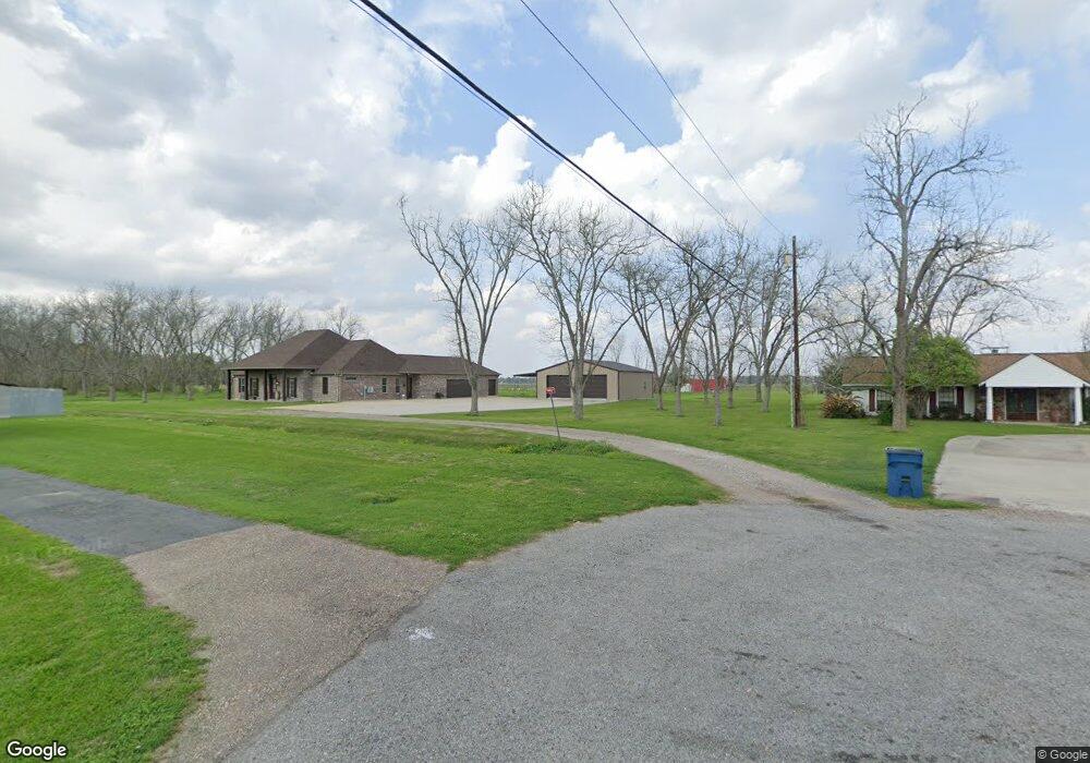
924 Pawsy Ln Brusly, LA 70719
West Baton Rouge Parish NeighborhoodEstimated Value: $408,902 - $434,000
Studio
--
Bath
2,653
Sq Ft
$159/Sq Ft
Est. Value
About This Home
This home is located at 924 Pawsy Ln, Brusly, LA 70719 and is currently estimated at $422,476, approximately $159 per square foot. 924 Pawsy Ln is a home with nearby schools including Brusly Elementary School, Lukeville Upper Elementary School, and Brusly Middle School.
Ownership History
Date
Name
Owned For
Owner Type
Purchase Details
Closed on
Sep 20, 2024
Sold by
Smith Taylor Joseph
Bought by
Ware Joey Michael and Ware Dana Davis
Current Estimated Value
Home Financials for this Owner
Home Financials are based on the most recent Mortgage that was taken out on this home.
Original Mortgage
$15,000
Outstanding Balance
$14,758
Interest Rate
6.47%
Mortgage Type
Credit Line Revolving
Estimated Equity
$407,718
Purchase Details
Closed on
Jun 30, 2016
Sold by
Ware Michael and Ware Lisa Altazan
Bought by
Ware Joey Michael and Ware Dana Davis
Create a Home Valuation Report for This Property
The Home Valuation Report is an in-depth analysis detailing your home's value as well as a comparison with similar homes in the area
Home Values in the Area
Average Home Value in this Area
Purchase History
| Date | Buyer | Sale Price | Title Company |
|---|---|---|---|
| Ware Joey Michael | -- | None Listed On Document | |
| Ware Joey Michael | -- | None Available |
Source: Public Records
Mortgage History
| Date | Status | Borrower | Loan Amount |
|---|---|---|---|
| Open | Ware Joey Michael | $15,000 |
Source: Public Records
Tax History
| Year | Tax Paid | Tax Assessment Tax Assessment Total Assessment is a certain percentage of the fair market value that is determined by local assessors to be the total taxable value of land and additions on the property. | Land | Improvement |
|---|---|---|---|---|
| 2025 | $2,635 | $34,160 | $7,610 | $26,550 |
| 2024 | $2,582 | $34,160 | $7,610 | $26,550 |
| 2023 | $2,120 | $27,920 | $5,400 | $22,520 |
| 2022 | $2,928 | $27,920 | $5,400 | $22,520 |
| 2021 | $2,994 | $27,920 | $5,400 | $22,520 |
| 2020 | $2,722 | $25,130 | $4,860 | $20,270 |
| 2019 | $3,362 | $29,800 | $1,310 | $28,490 |
| 2018 | $3,423 | $29,800 | $1,310 | $28,490 |
| 2017 | $86 | $810 | $810 | $0 |
| 2015 | $66 | $770 | $770 | $0 |
Source: Public Records
Map
Nearby Homes
- 5984 Mill Town Rd
- 6016 Mill Town Rd
- 5944 Mill Town Rd
- 5934 Mill Town Rd
- 5954 Mill Town Rd
- 6087 Mill Town Rd
- 5964 Mill Town Rd
- 5974 Mill Town Rd
- 6026 Mill Town Rd
- 6046 Mill Town Rd
- 5924 Mill Town Rd
- 6036 Mill Town Rd
- 5963 Mill Town Rd
- 445 Venzule Dr
- 6455 Louisiana 1
- 6312 Louisiana 1
- 2382 Ory Dr
- 526 Gwin St
- 2434 Orleans Quarters Dr
- 3561 Lukeville Ln
Your Personal Tour Guide
Ask me questions while you tour the home.