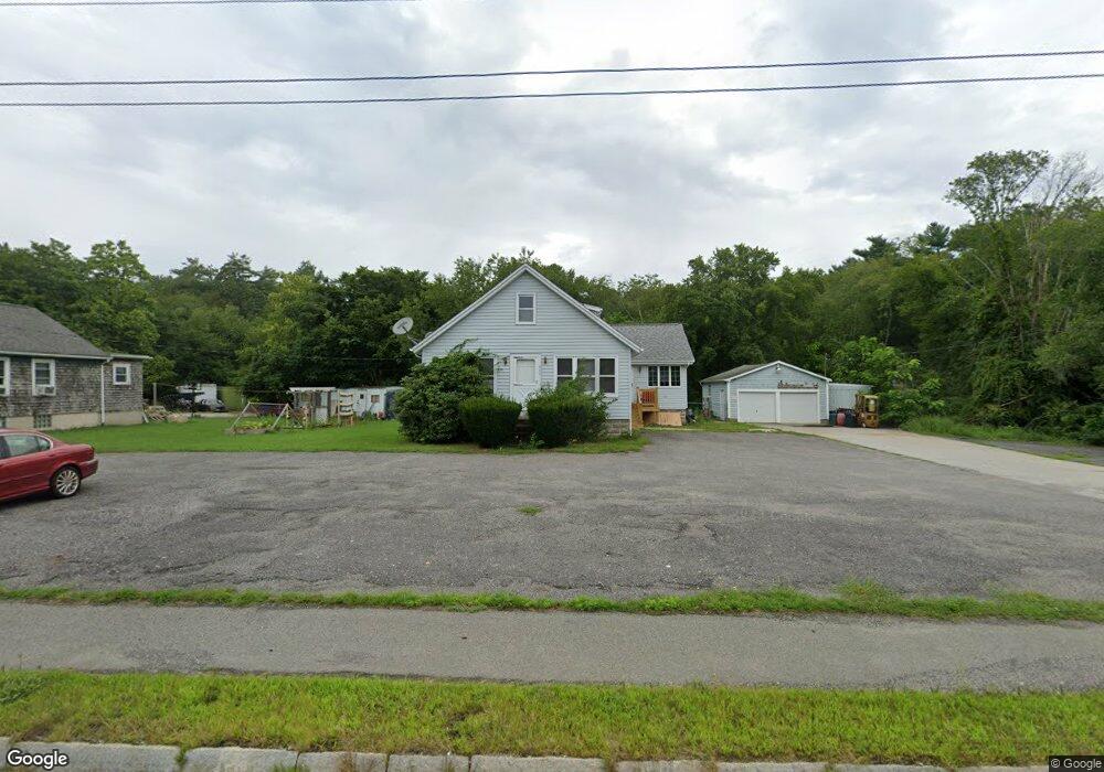
924 State Rd Westport, MA 02790
North Westport NeighborhoodEstimated Value: $443,000 - $549,000
2
Beds
--
Bath
2,070
Sq Ft
$238/Sq Ft
Est. Value
About This Home
This home is located at 924 State Rd, Westport, MA 02790 and is currently estimated at $493,052, approximately $238 per square foot. 924 State Rd is a home located in Bristol County with nearby schools including Alice A. Macomber Primary School, Westport Elementary School, and Westport Middle-High School.
Ownership History
Date
Name
Owned For
Owner Type
Purchase Details
Closed on
Jan 26, 2012
Sold by
Ferreira Manuel A and Ferreira Lucy M
Bought by
Ferreira Manuel A
Current Estimated Value
Purchase Details
Closed on
Nov 2, 1977
Bought by
Ferreira Manuel A
Create a Home Valuation Report for This Property
The Home Valuation Report is an in-depth analysis detailing your home's value as well as a comparison with similar homes in the area
Home Values in the Area
Average Home Value in this Area
Purchase History
| Date | Buyer | Sale Price | Title Company |
|---|---|---|---|
| Ferreira Manuel A | -- | -- | |
| Ferreira Manuel A | -- | -- |
Source: Public Records
Mortgage History
| Date | Status | Borrower | Loan Amount |
|---|---|---|---|
| Previous Owner | Ferreira Manuel A | $35,000 | |
| Previous Owner | Ferreira Manuel A | $28,000 |
Source: Public Records
Tax History
| Year | Tax Paid | Tax Assessment Tax Assessment Total Assessment is a certain percentage of the fair market value that is determined by local assessors to be the total taxable value of land and additions on the property. | Land | Improvement |
|---|---|---|---|---|
| 2025 | $2,672 | $358,700 | $137,600 | $221,100 |
| 2024 | $2,682 | $346,900 | $127,400 | $219,500 |
| 2023 | $2,306 | $282,600 | $108,600 | $174,000 |
| 2022 | $2,111 | $254,800 | $108,600 | $146,200 |
| 2021 | $2,111 | $244,900 | $98,700 | $146,200 |
| 2020 | $2,032 | $241,000 | $94,800 | $146,200 |
| 2019 | $1,991 | $240,800 | $100,400 | $140,400 |
| 2018 | $1,954 | $239,200 | $112,500 | $126,700 |
| 2017 | $1,854 | $232,600 | $108,900 | $123,700 |
| 2016 | $1,811 | $229,000 | $105,300 | $123,700 |
| 2015 | $1,688 | $212,800 | $107,700 | $105,100 |
Source: Public Records
Map
Nearby Homes
- 15 S Breault St
- 16 Lenox Ave
- 2 Van Buren St
- 565 Highland Ave
- 13 3rd Ave
- 2 Fieldstone Dr
- 116 Gifford Rd
- 2 Winterberry Ln
- 588 Gifford Rd
- 21 Evergreen St
- 0 American Legion Hwy Unit 73473517
- 818 Reed Rd
- 3 Roller Coaster Way Unit Lot 1
- 0 Hertitage Acres
- 162 Reed Rd
- 1276 Old Fall River Rd
- 19 Charles Joseph Dr
- 2 Donna Marie Dr
- 100 D Dr
- 82-84 O Dr
- 922 State Rd
- 0 Crane Ave
- Lot A Russell St
- LOT 4 Russell Ave
- LOT 3 Russell Ave
- 2 Crane Ave
- 2 Crane Ave
- 2 Crane Ave Unit 1
- 927 State Rd
- 00 Russell St
- 0 Russell St Unit 71538167
- 0 Russell St Unit 71582040
- 0 Russell St Unit 1012303
- 5 Russell Ave
- 2 Russell St
- 9 N Breault St
- 7 Crane Ave
- 27 N Breault St
- 913 State Rd
- 908 State Rd
Your Personal Tour Guide
Ask me questions while you tour the home.