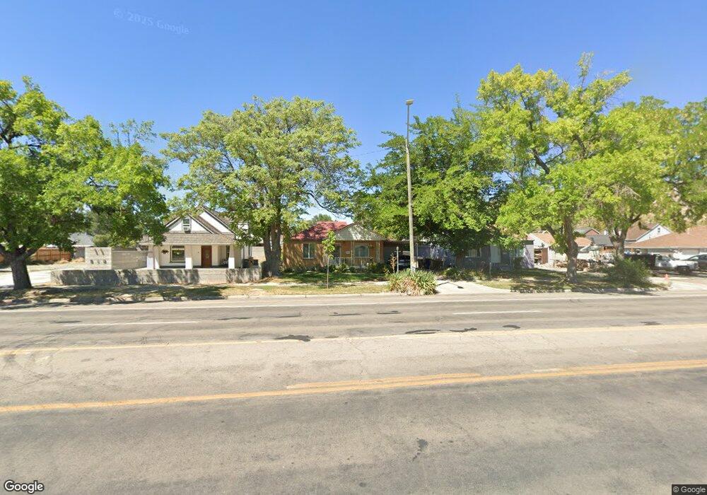
924 W 600 N Salt Lake City, UT 84116
Rose Park NeighborhoodEstimated Value: $388,585
2
Beds
1
Bath
1,487
Sq Ft
$261/Sq Ft
Est. Value
About This Home
This home is located at 924 W 600 N, Salt Lake City, UT 84116 and is currently estimated at $388,585, approximately $261 per square foot. 924 W 600 N is a home located in Salt Lake County with nearby schools including Rose Park Elementary School, Northwest Middle School, and West High.
Ownership History
Date
Name
Owned For
Owner Type
Purchase Details
Closed on
May 6, 2024
Sold by
Williamson Debra
Bought by
Bovee Nancy
Current Estimated Value
Purchase Details
Closed on
Aug 25, 2023
Sold by
Shields Larry W and Shields Bonnie A
Bought by
Williamson Debra and Bovee Nancy
Home Financials for this Owner
Home Financials are based on the most recent Mortgage that was taken out on this home.
Original Mortgage
$329,670
Interest Rate
6.96%
Mortgage Type
FHA
Create a Home Valuation Report for This Property
The Home Valuation Report is an in-depth analysis detailing your home's value as well as a comparison with similar homes in the area
Home Values in the Area
Average Home Value in this Area
Purchase History
| Date | Buyer | Sale Price | Title Company |
|---|---|---|---|
| Bovee Nancy | -- | None Listed On Document | |
| Williamson Debra | -- | Stewart Title Insurance Agency |
Source: Public Records
Mortgage History
| Date | Status | Borrower | Loan Amount |
|---|---|---|---|
| Previous Owner | Williamson Debra | $329,670 |
Source: Public Records
Tax History Compared to Growth
Tax History
| Year | Tax Paid | Tax Assessment Tax Assessment Total Assessment is a certain percentage of the fair market value that is determined by local assessors to be the total taxable value of land and additions on the property. | Land | Improvement |
|---|---|---|---|---|
| 2025 | $57 | $11,600 | $11,600 | -- |
| 2024 | $57 | $10,900 | $10,900 | -- |
| 2023 | $57 | $10,500 | $10,500 | $0 |
| 2022 | $60 | $10,300 | $10,300 | $0 |
| 2021 | $45 | $7,000 | $7,000 | $0 |
| 2020 | $43 | $6,400 | $6,400 | $0 |
| 2019 | $41 | $5,700 | $5,700 | $0 |
| 2018 | $42 | $5,700 | $5,700 | $0 |
| 2017 | $45 | $5,700 | $5,700 | $0 |
| 2016 | $42 | $5,100 | $5,100 | $0 |
| 2015 | $44 | $5,100 | $5,100 | $0 |
| 2014 | $36 | $4,100 | $4,100 | $0 |
Source: Public Records
Map
Nearby Homes
- 577 N 900 W
- 715 N Pearl Harbor St
- 705 American Beauty Dr
- 736 N American Beauty Dr
- 506 N 1000 W
- 1067 W Signora Dr
- 1026 W 800 N
- 535 N Grant St
- 848 Poinsettia Dr
- 763 Lafayette Dr
- 1150 W Girard Ave
- 866 American Beauty Dr
- 873 N American Beauty Dr
- 557 N 1200 W
- 1059 W 400 N
- 618 N Oakley St Unit B206
- 351 N 1000 W
- 767 W 400 N
- 664 N Oakley St Unit E101
- 793 N 1200 W
- 935 Briarcliff Ave
- 920 W 600 N
- 929 Briarcliff Ave
- 942 W 600 N
- 619 N 900 W
- 615 N 900 W
- 625 N 900 W
- 609 N 900 W
- 943 Briarcliff Ave
- 943 W Briarcliff Ave
- 927 Briarcliff Ave
- 927 W Briarcliff Ave
- 635 N 900 W
- 603 N 900 W
- 944 W 600 N
- 951 Briarcliff Ave
- 930 Briarcliff Ave
- 641 N 900 W
- 928 Autumn Ave
- 928 W Autumn Ave