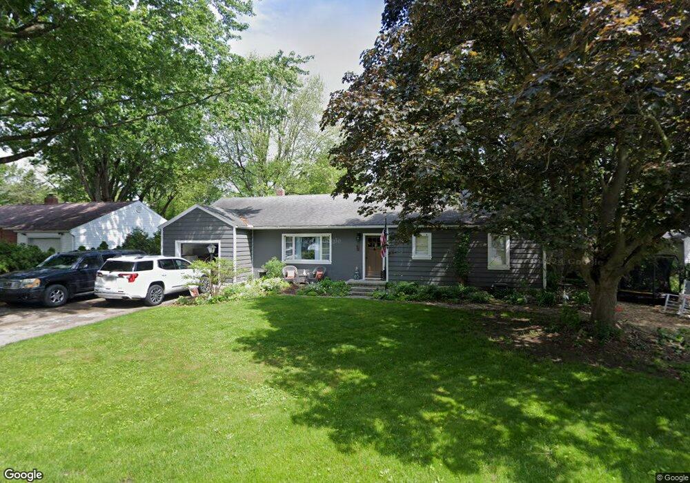
924 Wilson Dr Bowling Green, OH 43402
Estimated Value: $219,617 - $251,000
3
Beds
2
Baths
1,740
Sq Ft
$135/Sq Ft
Est. Value
About This Home
This home is located at 924 Wilson Dr, Bowling Green, OH 43402 and is currently estimated at $234,904, approximately $135 per square foot. 924 Wilson Dr is a home located in Wood County with nearby schools including Bowling Green High School, Montessori School Of Bowling Green, and Bowling Green Christian Academy.
Ownership History
Date
Name
Owned For
Owner Type
Purchase Details
Closed on
Jun 15, 2020
Sold by
Peatee June G
Bought by
Sinning Jessica
Current Estimated Value
Home Financials for this Owner
Home Financials are based on the most recent Mortgage that was taken out on this home.
Original Mortgage
$115,691
Outstanding Balance
$59,566
Interest Rate
3.2%
Mortgage Type
New Conventional
Estimated Equity
$175,338
Purchase Details
Closed on
Jul 22, 2014
Sold by
Dill Donna G and Cheetwood John S
Bought by
Peatee Douglas A and Peatee June
Purchase Details
Closed on
Jan 1, 1990
Bought by
Dill Donna G
Create a Home Valuation Report for This Property
The Home Valuation Report is an in-depth analysis detailing your home's value as well as a comparison with similar homes in the area
Home Values in the Area
Average Home Value in this Area
Purchase History
| Date | Buyer | Sale Price | Title Company |
|---|---|---|---|
| Sinning Jessica | $158,500 | None Available | |
| Peatee Douglas A | $125,500 | None Available | |
| Dill Donna G | -- | -- |
Source: Public Records
Mortgage History
| Date | Status | Borrower | Loan Amount |
|---|---|---|---|
| Open | Sinning Jessica | $115,691 |
Source: Public Records
Tax History Compared to Growth
Tax History
| Year | Tax Paid | Tax Assessment Tax Assessment Total Assessment is a certain percentage of the fair market value that is determined by local assessors to be the total taxable value of land and additions on the property. | Land | Improvement |
|---|---|---|---|---|
| 2024 | $2,450 | $56,840 | $11,480 | $45,360 |
| 2023 | $2,450 | $56,840 | $11,480 | $45,360 |
| 2021 | $2,062 | $47,610 | $10,750 | $36,860 |
| 2020 | $2,067 | $47,610 | $10,750 | $36,860 |
| 2019 | $1,925 | $42,250 | $10,750 | $31,500 |
| 2018 | $1,914 | $42,250 | $10,750 | $31,500 |
| 2017 | $1,609 | $42,250 | $10,750 | $31,500 |
| 2016 | $1,692 | $37,390 | $10,750 | $26,640 |
| 2015 | $1,692 | $37,390 | $10,750 | $26,640 |
| 2014 | $1,346 | $37,390 | $10,750 | $26,640 |
| 2013 | $1,448 | $37,390 | $10,750 | $26,640 |
Source: Public Records
Map
Nearby Homes
- 893 W Wooster St
- 847 Pearl St
- 219 Winfield Dr
- 1103 Pearl St
- 0 Haskins Rd Unit 6132516
- 1024 Clark St
- 519 Knollwood Dr
- 545 Wallace Ave
- 1321 Charles St
- 94 Summerfield Blvd Unit 832
- 1326 Pine Valley Dr
- 54 Foxgate Cir E Unit 1350
- 210 W Wooster St
- 1362 Conneaut Ave
- 448 S Church St
- 614 Pasteur Ave
- 29 Darlyn Dr
- 707 W Poe Rd
- 618 S Main St
- Lot 41 S Prospect St
- 1236 W Wooster St
- 926 Wilson Dr
- 920 Wilson Dr
- 971 W Wooster St
- 975 W Wooster St
- 923 Wilson Dr
- 965 W Wooster St
- 927 Wilson Dr
- 919 Wilson Dr
- 985 W Wooster St
- 910 Wilson Dr
- 931 Wilson Dr
- 915 Wilson Dr
- 922 Sunset Dr
- 928 Sunset Dr
- 945 W Wooster St
- 918 Sunset Dr
- 215 Western Ave
- 156 Brigham Ln
- 1011 W Wooster St