Estimated Value: $198,145 - $237,000
4
Beds
1
Bath
1,512
Sq Ft
$142/Sq Ft
Est. Value
About This Home
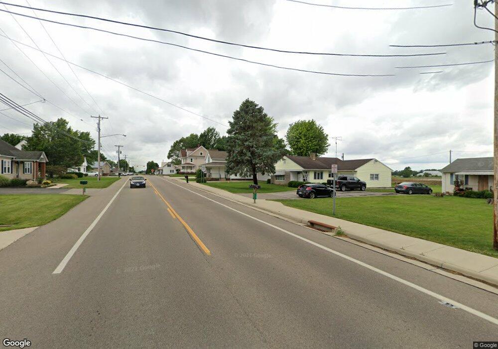
This home is located at 9243 State Route 119 W, Anna, OH 45302 and is currently estimated at $214,036, approximately $141 per square foot. 9243 State Route 119 W is a home located in Shelby County with nearby schools including Anna Elementary School, Anna Middle School, and Anna High School.
Ownership History
Date
Name
Owned For
Owner Type
Purchase Details
Closed on
Apr 21, 2021
Sold by
Axe Charles R and Axe Michelle R
Bought by
Hoying Craig W
Current Estimated Value
Home Financials for this Owner
Home Financials are based on the most recent Mortgage that was taken out on this home.
Original Mortgage
$131,750
Outstanding Balance
$119,050
Interest Rate
3.05%
Mortgage Type
Future Advance Clause Open End Mortgage
Estimated Equity
$94,986
Purchase Details
Closed on
Jan 31, 2017
Sold by
Axe Charles R and Axe Michelle R
Bought by
Axe Charles R and Axe Michelle R
Purchase Details
Closed on
Oct 28, 2016
Sold by
Berning Nicholas W
Bought by
Axe Charles R and Axe Michelle R
Home Financials for this Owner
Home Financials are based on the most recent Mortgage that was taken out on this home.
Original Mortgage
$88,800
Interest Rate
3.5%
Mortgage Type
Future Advance Clause Open End Mortgage
Purchase Details
Closed on
Oct 15, 1991
Bought by
Bergman Doroth
Create a Home Valuation Report for This Property
The Home Valuation Report is an in-depth analysis detailing your home's value as well as a comparison with similar homes in the area
Home Values in the Area
Average Home Value in this Area
Purchase History
| Date | Buyer | Sale Price | Title Company |
|---|---|---|---|
| Hoying Craig W | $140,000 | None Available | |
| Axe Charles R | -- | Attorney | |
| Axe Charles R | $112,500 | Attorney | |
| Bergman Doroth | $50,000 | -- |
Source: Public Records
Mortgage History
| Date | Status | Borrower | Loan Amount |
|---|---|---|---|
| Open | Hoying Craig W | $131,750 | |
| Previous Owner | Axe Charles R | $88,800 |
Source: Public Records
Tax History Compared to Growth
Tax History
| Year | Tax Paid | Tax Assessment Tax Assessment Total Assessment is a certain percentage of the fair market value that is determined by local assessors to be the total taxable value of land and additions on the property. | Land | Improvement |
|---|---|---|---|---|
| 2024 | $1,515 | $48,450 | $5,410 | $43,040 |
| 2023 | $1,515 | $48,450 | $5,410 | $43,040 |
| 2022 | $1,304 | $37,290 | $4,000 | $33,290 |
| 2021 | $1,362 | $37,290 | $4,000 | $33,290 |
| 2020 | $1,362 | $37,290 | $4,000 | $33,290 |
| 2019 | $1,231 | $33,250 | $3,410 | $29,840 |
| 2018 | $1,180 | $33,250 | $3,410 | $29,840 |
| 2017 | $1,139 | $33,250 | $3,410 | $29,840 |
| 2016 | $836 | $25,430 | $3,170 | $22,260 |
| 2015 | $772 | $25,430 | $3,170 | $22,260 |
| 2014 | $772 | $25,430 | $3,170 | $22,260 |
| 2013 | $734 | $22,960 | $3,170 | $19,790 |
Source: Public Records
Map
Nearby Homes
- 13400 Whitefeather Trail
- 11968 Arling Rd
- 10810 Wenger Rd
- 16785 Roettger Rd
- 205 S 2nd St
- 208 W South St
- 114 W Main St
- 101 Sapphire St
- 101 W South St
- 206 Shannon Dr
- 305 E North St
- 205 Linkensmith Dr
- 320 Mill St
- 3538 N Kuther Rd
- 18250 Roettger Rd
- 14334 Meranda Rd
- 193 N Paris St
- 180 Janice Dr
- 177 Janice Dr
- 173 Janice Dr
- 9243 Ohio 119
- 9279 State Route 119 W
- 9244 State Route 119 W
- 9192 State Route 119 W
- 9301 State Route 119 W
- 9221 State Route 119 W
- 9280 State Route 119 W
- 9191 State Route 119 W
- 13478 Bornhorst Rd
- 13490 Ohio 29
- 9320 State Route 119 W
- 13491 Bornhorst Rd
- 13451 Bornhorst Rd
- 13426 Bornhorst Rd
- 13426 Bornhorst Rd
- 9333 State Route 119 W
- 13499 Renee Dr
- 13477 State Route 29
- 13433 State Route 29
- 13455 State Route 29