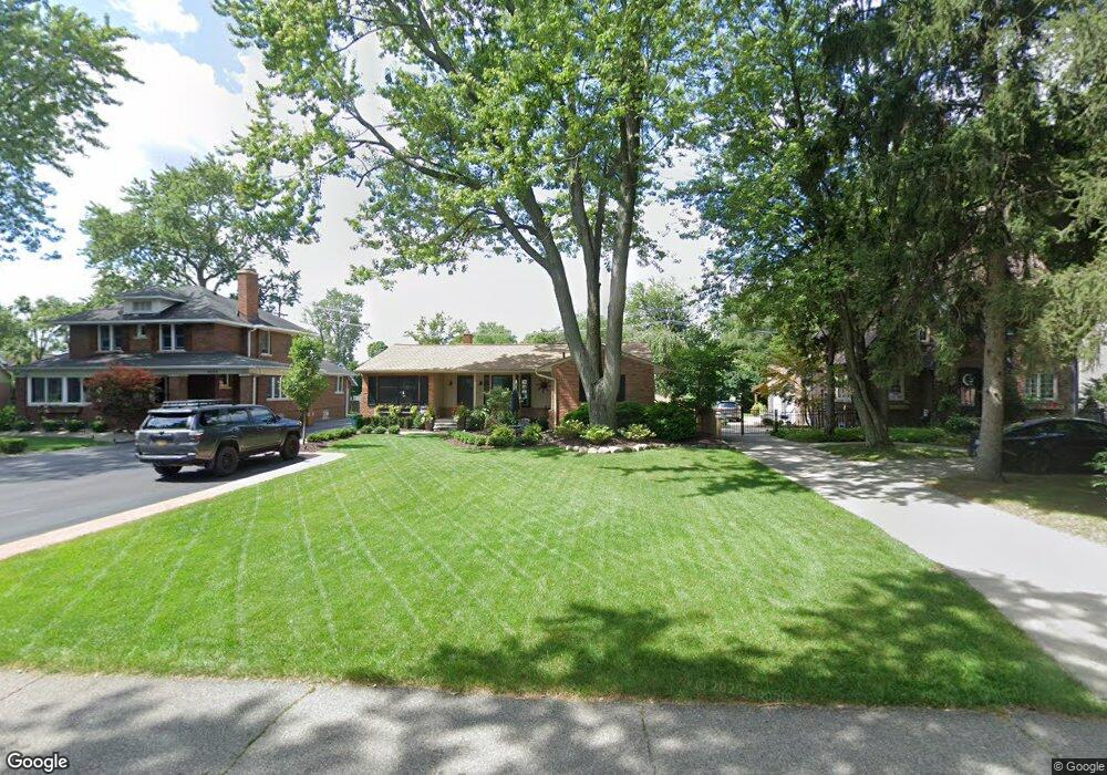
9249 Ball St Unit Bldg-Unit Plymouth, MI 48170
Estimated Value: $424,000 - $462,000
--
Bed
2
Baths
1,461
Sq Ft
$304/Sq Ft
Est. Value
About This Home
This home is located at 9249 Ball St Unit Bldg-Unit, Plymouth, MI 48170 and is currently estimated at $444,287, approximately $304 per square foot. 9249 Ball St Unit Bldg-Unit is a home located in Wayne County with nearby schools including Canton High School, Smith Elementary School, and West Middle School.
Ownership History
Date
Name
Owned For
Owner Type
Purchase Details
Closed on
Dec 12, 2024
Sold by
Wessel Harold and Wessel Kristin
Bought by
Williams Lucas
Current Estimated Value
Home Financials for this Owner
Home Financials are based on the most recent Mortgage that was taken out on this home.
Original Mortgage
$394,650
Outstanding Balance
$391,504
Interest Rate
6.72%
Mortgage Type
New Conventional
Estimated Equity
$52,783
Purchase Details
Closed on
May 14, 2021
Sold by
Macdonald Daniel and Macdonald Courtney
Bought by
Wessel Harold and Wessel Kristin
Home Financials for this Owner
Home Financials are based on the most recent Mortgage that was taken out on this home.
Original Mortgage
$280,000
Interest Rate
2.9%
Mortgage Type
New Conventional
Purchase Details
Closed on
Apr 12, 2018
Sold by
The Eugene W White And Margaret White Re
Bought by
Macdonald Daniel
Create a Home Valuation Report for This Property
The Home Valuation Report is an in-depth analysis detailing your home's value as well as a comparison with similar homes in the area
Home Values in the Area
Average Home Value in this Area
Purchase History
| Date | Buyer | Sale Price | Title Company |
|---|---|---|---|
| Williams Lucas | $438,500 | None Listed On Document | |
| Williams Lucas | $438,500 | None Listed On Document | |
| Wessel Harold | $365,000 | Fidelity National Title | |
| Macdonald Daniel | $245,000 | Cislo Title Co |
Source: Public Records
Mortgage History
| Date | Status | Borrower | Loan Amount |
|---|---|---|---|
| Open | Williams Lucas | $394,650 | |
| Closed | Williams Lucas | $394,650 | |
| Previous Owner | Wessel Harold | $280,000 |
Source: Public Records
Tax History Compared to Growth
Tax History
| Year | Tax Paid | Tax Assessment Tax Assessment Total Assessment is a certain percentage of the fair market value that is determined by local assessors to be the total taxable value of land and additions on the property. | Land | Improvement |
|---|---|---|---|---|
| 2025 | $3,500 | $182,100 | $0 | $0 |
| 2024 | $3,500 | $164,100 | $0 | $0 |
| 2023 | $3,334 | $151,600 | $0 | $0 |
| 2022 | $4,434 | $134,900 | $0 | $0 |
| 2021 | $4,056 | $132,400 | $0 | $0 |
| 2019 | $6,088 | $118,870 | $0 | $0 |
| 2018 | $1,959 | $109,280 | $0 | $0 |
| 2017 | $1,369 | $27,100 | $0 | $0 |
| 2016 | $2,567 | $104,800 | $0 | $0 |
| 2015 | $8,204 | $95,490 | $0 | $0 |
| 2013 | $7,948 | $82,400 | $0 | $0 |
| 2012 | -- | $78,600 | $27,140 | $51,460 |
Source: Public Records
Map
Nearby Homes
- 9405 Northern Ave
- 9205 Rocker Ave
- 8830 Northern Ave
- 8834 Northern Ave
- 8845 Oakview St
- 1338 S Harvey St
- 9264 Brookline Ave
- 8880 Elmhurst Ave
- 1078 Simpson St
- 9453 Brookline Ave
- 8870 Brookline Ave
- 9060 N Sheldon Rd
- 844 Ross St
- 8876 N Sheldon Rd
- 9191 Redbud Ave
- 1199 S Sheldon Rd
- 8530 Elmhurst St
- 1125 Sutherland St
- 8591 Kingsley Dr
- 44703 Erin Dr