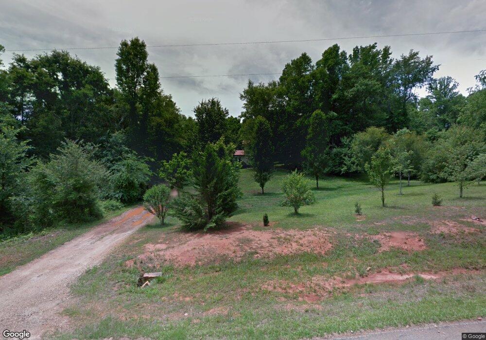
925 Collins Bridges Rd Danielsville, GA 30633
Estimated Value: $245,000 - $268,000
4
Beds
2
Baths
1,500
Sq Ft
$172/Sq Ft
Est. Value
About This Home
This home is located at 925 Collins Bridges Rd, Danielsville, GA 30633 and is currently estimated at $257,406, approximately $171 per square foot. 925 Collins Bridges Rd is a home located in Madison County with nearby schools including Madison County High School.
Ownership History
Date
Name
Owned For
Owner Type
Purchase Details
Closed on
May 12, 2025
Sold by
Power James B
Bought by
Power Haley N and Power Matthew J
Current Estimated Value
Purchase Details
Closed on
May 2, 2011
Sold by
Secretary Of Housing & Urban Development
Bought by
Power James B and Power Evelyn
Purchase Details
Closed on
Oct 6, 2009
Sold by
Wells Fargo Bank Na
Bought by
Secretary Of Housing & Urban Development
Create a Home Valuation Report for This Property
The Home Valuation Report is an in-depth analysis detailing your home's value as well as a comparison with similar homes in the area
Home Values in the Area
Average Home Value in this Area
Purchase History
| Date | Buyer | Sale Price | Title Company |
|---|---|---|---|
| Power Haley N | -- | -- | |
| Power James B | $23,000 | -- | |
| Secretary Of Housing & Urban Development | $110,232 | -- | |
| Wells Fargo Bank Na | $110,232 | -- |
Source: Public Records
Tax History Compared to Growth
Tax History
| Year | Tax Paid | Tax Assessment Tax Assessment Total Assessment is a certain percentage of the fair market value that is determined by local assessors to be the total taxable value of land and additions on the property. | Land | Improvement |
|---|---|---|---|---|
| 2024 | $1,399 | $53,751 | $9,113 | $44,638 |
| 2023 | $1,276 | $49,007 | $7,594 | $41,413 |
| 2022 | $1,153 | $41,796 | $5,222 | $36,574 |
| 2021 | $1,006 | $32,956 | $5,222 | $27,734 |
| 2020 | $990 | $32,196 | $4,462 | $27,734 |
| 2019 | -- | $31,536 | $4,462 | $27,074 |
| 2018 | -- | $30,198 | $4,082 | $26,116 |
| 2017 | -- | $28,205 | $3,797 | $24,408 |
| 2016 | $661 | $23,036 | $3,143 | $19,894 |
Source: Public Records
Map
Nearby Homes
- 107 Hill Lake Rd
- 0 Cedar Ln Unit 1026097
- 0 Cedar Ln Unit 10530523
- 1885 Highway 29 N
- 0 Hwy 29 N Unit 10574548
- 0 Hwy 29 N Unit CL335575
- 0 Irvin Kirk Rd
- 0 New Haven Church Rd Unit CL334534
- 0 New Haven Church Rd Unit 10566118
- 0 New Haven Church Rd Unit CL334526
- 0 New Haven Church Rd Unit 10566119
- 28 Acres Irvin Kirk Rd
- 255 Hillwood Dr Unit 1
- 155 Mulberry Ln
- 430 Sherwood Cir
- 170 Northridge Dr
- 150 Northridge Dr Unit 3
- 150 Northridge Dr
- 140 Northridge Dr
- 140 Northridge Dr Unit 6
- 973 Collins Bridges Rd
- 871 Collins-Bridges Rd
- 918 Collins Bridges Rd
- 875 Collins Bridges Rd
- 1011 Collins-Bridges Rd
- 1011 Collins Bridges Rd
- 916 Collins Bridges Rd
- 916 Collins-Bridges Rd
- 1004 Collins Bridges Rd
- 77 Cedar Ln
- 1038 Collins-Bridges Rd
- 232 Cedar Ln
- 54 Hill Lake Rd
- 153 Cedar Ln
- 2160 Rock Quarry Rd
- 1960 Rock Quarry Rd
- 0 Hill Lake Rd Unit 7324405
- 0 Hill Lake Rd
- 122 Hill Lake Rd
- 50 Rock Quarry Dr