925 Crawford Rd Barnesville, GA 30204
Estimated Value: $211,000 - $286,798
2
Beds
2
Baths
1,320
Sq Ft
$192/Sq Ft
Est. Value
About This Home
This home is located at 925 Crawford Rd, Barnesville, GA 30204 and is currently estimated at $253,266, approximately $191 per square foot. 925 Crawford Rd is a home located in Lamar County with nearby schools including Lamar County Primary School, Lamar County Elementary School, and Lamar County Middle School.
Ownership History
Date
Name
Owned For
Owner Type
Purchase Details
Closed on
Jun 3, 2025
Sold by
Brooks Boonruern
Bought by
Fuller Jeanette B
Current Estimated Value
Purchase Details
Closed on
Nov 28, 2023
Sold by
Brooks David
Bought by
Brooks Boonruern and Fuller Jeanette B
Purchase Details
Closed on
Apr 16, 2018
Sold by
Jones Franklin
Bought by
Brooks Brooks David David and Brooks Boonruern
Purchase Details
Closed on
Oct 1, 1978
Bought by
Jones Franklin V
Create a Home Valuation Report for This Property
The Home Valuation Report is an in-depth analysis detailing your home's value as well as a comparison with similar homes in the area
Purchase History
| Date | Buyer | Sale Price | Title Company |
|---|---|---|---|
| Fuller Jeanette B | -- | -- | |
| Brooks Boonruern | $50,000 | -- | |
| Brooks Brooks David David | $50,000 | -- | |
| Jones Franklin V | $6,800 | -- |
Source: Public Records
Tax History
| Year | Tax Paid | Tax Assessment Tax Assessment Total Assessment is a certain percentage of the fair market value that is determined by local assessors to be the total taxable value of land and additions on the property. | Land | Improvement |
|---|---|---|---|---|
| 2025 | $1,457 | $92,084 | $41,414 | $50,670 |
| 2024 | $1,323 | $83,774 | $41,414 | $42,360 |
| 2023 | $1,403 | $83,026 | $41,414 | $41,612 |
| 2022 | $1,238 | $75,811 | $39,985 | $35,826 |
| 2021 | $1,096 | $58,717 | $29,689 | $29,028 |
| 2020 | $1,164 | $59,119 | $29,689 | $29,430 |
| 2019 | $477 | $57,142 | $29,689 | $27,453 |
| 2018 | $1,427 | $60,983 | $29,689 | $31,294 |
| 2017 | $1,424 | $60,983 | $29,689 | $31,294 |
| 2016 | $1,429 | $60,983 | $29,689 | $31,294 |
| 2015 | $1,431 | $61,135 | $29,689 | $31,446 |
| 2014 | $1,386 | $60,984 | $29,689 | $31,294 |
| 2013 | -- | $58,612 | $27,317 | $31,294 |
Source: Public Records
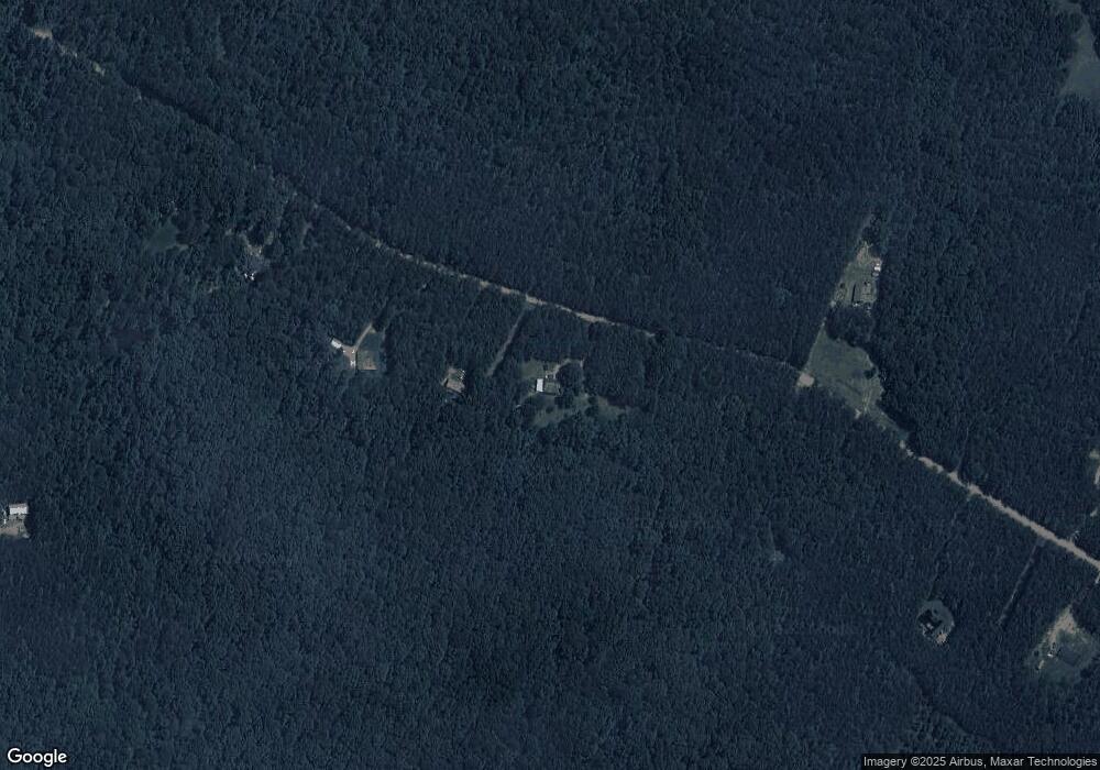
Map
Nearby Homes
- 362 Brook Rd
- 329 Brook Rd
- 507 N Ridge Rd
- 880 Johnstonville Rd
- 125 Red Oak Dr
- 562 Johnstonville Rd
- 0 Veterans Unit 10705095
- 0 Veterans Unit 10714454
- 0 Veterans Unit 23619323
- 0 Veterans Unit 10429448
- 0 Veterans Unit 10675698
- 0 Crawford Rd Unit 10611435
- 0 Crawford Rd Unit 1
- 218 City Pond Rd
- 0 Roberts Rd Unit 10593586
- 278 Cole Forest Blvd
- 0 Hannah St Unit LOT 1 10587177
- 0 Hannah Ct Unit LOT 13 10587187
- 0 Hannah Ct Unit LOT 10 10587183
- 0 Hannah Ct Unit LOT 14 10587190
- 909 Crawford Rd
- 915 Crawford Rd
- 883 Crawford Rd
- 883 Crawford Rd
- 883 Crawford Rd
- 959 Crawford Rd
- 974 Crawford Rd
- 424 Brook Rd
- 438 Brook Rd
- 420 Brook Rd
- 430 Brook Rd
- 1023 Crawford Rd
- 476 Brook Rd
- 406 Brook Rd
- 411 Brook Rd
- 364 Northridge Rd
- 354 Northridge Rd
- 322 Northridge Rd
- 1056 Crawford Rd
- 374 Northridge Rd
Your Personal Tour Guide
Ask me questions while you tour the home.