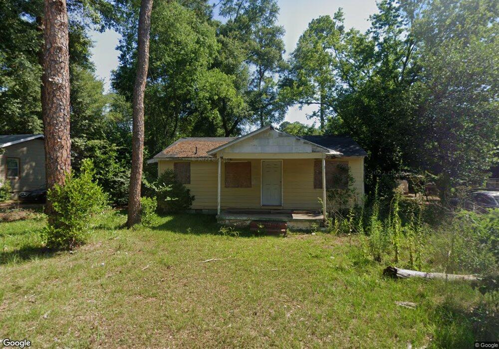
925 Easeman Dr Albany, GA 31705
Dixie Heights NeighborhoodEstimated Value: $44,000 - $91,000
2
Beds
1
Bath
620
Sq Ft
$101/Sq Ft
Est. Value
About This Home
This home is located at 925 Easeman Dr, Albany, GA 31705 and is currently estimated at $62,467, approximately $100 per square foot. 925 Easeman Dr is a home located in Dougherty County with nearby schools including Morningside Elementary School, Monroe High School, and New Birth Fellowship Christian Academy.
Ownership History
Date
Name
Owned For
Owner Type
Purchase Details
Closed on
Mar 17, 2005
Sold by
Adams Billie and Adams Annie
Bought by
Harrison Daniel
Current Estimated Value
Purchase Details
Closed on
Feb 17, 2005
Sold by
Gates Mattie Julia
Bought by
Gay Rodney Thomas
Purchase Details
Closed on
Apr 28, 1997
Sold by
Housing & Urban Dev
Bought by
Adams Billie and Adams Annie
Purchase Details
Closed on
Aug 7, 1996
Sold by
Colonial Mtge Co
Bought by
Housing & Urban Dev
Purchase Details
Closed on
Aug 6, 1996
Sold by
Miller Hattie P and Evans Wilson
Bought by
Colonial Mortgage Co
Purchase Details
Closed on
Jan 2, 1980
Sold by
Mayo Thomas
Bought by
Miller and Evans
Create a Home Valuation Report for This Property
The Home Valuation Report is an in-depth analysis detailing your home's value as well as a comparison with similar homes in the area
Home Values in the Area
Average Home Value in this Area
Purchase History
| Date | Buyer | Sale Price | Title Company |
|---|---|---|---|
| Harrison Daniel | $2,000 | -- | |
| Gay Rodney Thomas | -- | -- | |
| Adams Billie | -- | -- | |
| Housing & Urban Dev | -- | -- | |
| Colonial Mortgage Co | -- | -- | |
| Miller | -- | -- |
Source: Public Records
Tax History
| Year | Tax Paid | Tax Assessment Tax Assessment Total Assessment is a certain percentage of the fair market value that is determined by local assessors to be the total taxable value of land and additions on the property. | Land | Improvement |
|---|---|---|---|---|
| 2025 | $136 | $2,680 | $1,080 | $1,600 |
| 2024 | $136 | $2,680 | $1,080 | $1,600 |
| 2023 | $125 | $2,680 | $1,080 | $1,600 |
| 2022 | $125 | $2,680 | $1,080 | $1,600 |
| 2021 | $116 | $2,680 | $1,080 | $1,600 |
| 2020 | $116 | $2,680 | $1,080 | $1,600 |
| 2019 | $117 | $2,680 | $1,080 | $1,600 |
| 2018 | $117 | $2,680 | $1,080 | $1,600 |
| 2017 | $109 | $2,680 | $1,080 | $1,600 |
| 2016 | $93 | $2,680 | $1,080 | $1,600 |
| 2015 | $110 | $2,680 | $1,080 | $1,600 |
| 2014 | $100 | $2,480 | $800 | $1,680 |
Source: Public Records
Map
Nearby Homes
- 325 Lynn Ln
- 916 Crawford Dr
- 928 Mercedes St
- 911 Mercedes St
- 2021 Radium Springs Rd
- 502 Mitchell Ave
- 104 Daniel Ct
- 111 Morningside Dr
- 201 Moore Ave
- 410 Rosser Ln
- 500 Vick St
- 205 Cannon Ave
- 2225 S Washington St
- 1401 E Waddell Ave
- 1403 E Waddell Ave
- 811 S Maple St
- 1400 E Lincoln Ave
- 1411 E Gordon Ave
- 608 Cason St
- 211 Collins St
Your Personal Tour Guide
Ask me questions while you tour the home.