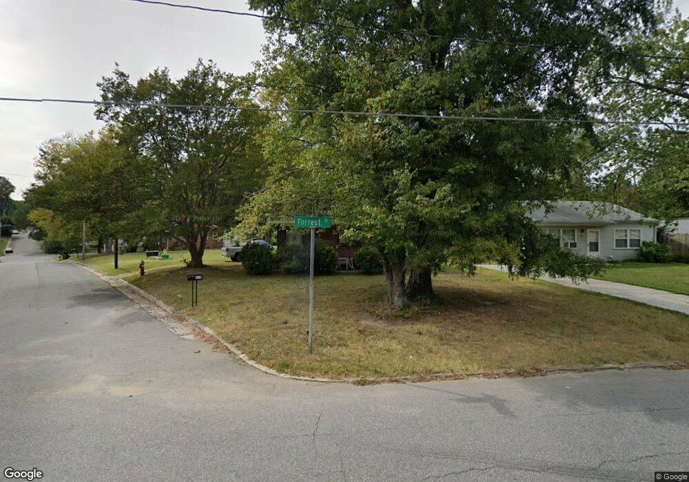
925 Forrest St High Point, NC 27262
Greater High Point NeighborhoodEstimated Value: $86,347 - $148,000
2
Beds
1
Bath
828
Sq Ft
$137/Sq Ft
Est. Value
About This Home
This home is located at 925 Forrest St, High Point, NC 27262 and is currently estimated at $113,337, approximately $136 per square foot. 925 Forrest St is a home located in Guilford County with nearby schools including Kirkman Park Elementary School, Penn-Griffin School for the Arts, and T.W. Andrews High School.
Ownership History
Date
Name
Owned For
Owner Type
Purchase Details
Closed on
Sep 11, 2008
Sold by
Evans Nellie and Wilson Shirley D
Bought by
Hart Dawn Guthrie
Current Estimated Value
Home Financials for this Owner
Home Financials are based on the most recent Mortgage that was taken out on this home.
Original Mortgage
$29,700
Interest Rate
6.49%
Mortgage Type
Purchase Money Mortgage
Purchase Details
Closed on
May 27, 1998
Sold by
Nellie Evans
Bought by
Wilson Shirley D
Create a Home Valuation Report for This Property
The Home Valuation Report is an in-depth analysis detailing your home's value as well as a comparison with similar homes in the area
Home Values in the Area
Average Home Value in this Area
Purchase History
| Date | Buyer | Sale Price | Title Company |
|---|---|---|---|
| Hart Dawn Guthrie | $33,000 | Chicago Title Insurance Co | |
| Wilson Shirley D | -- | -- |
Source: Public Records
Mortgage History
| Date | Status | Borrower | Loan Amount |
|---|---|---|---|
| Closed | Hart Dawn Guthrie | $29,700 |
Source: Public Records
Tax History
| Year | Tax Paid | Tax Assessment Tax Assessment Total Assessment is a certain percentage of the fair market value that is determined by local assessors to be the total taxable value of land and additions on the property. | Land | Improvement |
|---|---|---|---|---|
| 2025 | $438 | $31,800 | $8,500 | $23,300 |
| 2024 | $438 | $31,800 | $8,500 | $23,300 |
| 2023 | $438 | $31,800 | $8,500 | $23,300 |
| 2022 | $429 | $31,800 | $8,500 | $23,300 |
| 2021 | $317 | $23,000 | $4,300 | $18,700 |
| 2020 | $317 | $23,000 | $4,300 | $18,700 |
| 2019 | $317 | $23,000 | $0 | $0 |
| 2018 | $315 | $23,000 | $0 | $0 |
| 2017 | $317 | $23,000 | $0 | $0 |
| 2016 | $410 | $29,200 | $0 | $0 |
| 2015 | $412 | $29,200 | $0 | $0 |
| 2014 | $419 | $29,200 | $0 | $0 |
Source: Public Records
Map
Nearby Homes
- 916 Forrest St
- 910 E Dayton Ave
- 702 E Farriss Ave
- 1108 Forrest St
- 1110 Forrest St
- 721 Forrest St
- 719 Forrest St
- 511 E Farriss Ave
- 1428 Futrelle Dr
- 613 Woodridge Ln
- 1310 Madison St
- 1129 Bridges Dr
- 304 Louise Ave
- 1102 Johnson St
- 1433 Larkin St
- 1602 Larkin St
- 1507 Larkin St
- 1604 E Lexington Ave
- 1406 Chatham Dr
- 1700 N Hamilton St Unit F
- 927 Forrest St
- 929 Forrest St
- 921 Forrest St
- 909 Guilford Ave
- 931 Forrest St
- 919 Forrest St
- 818 Magnolia Ct
- 933 Forrest St
- 917 Forrest St
- 816 Magnolia Ct
- 922 Forrest St
- 906 Guilford Ave
- 926 Forrest St
- 920 Forrest St
- 1000 Grant St
- 930 Forrest St
- 1002 Grant St
- 918 Forrest St
- 915 Forrest St
- 814 Magnolia Ct
Your Personal Tour Guide
Ask me questions while you tour the home.