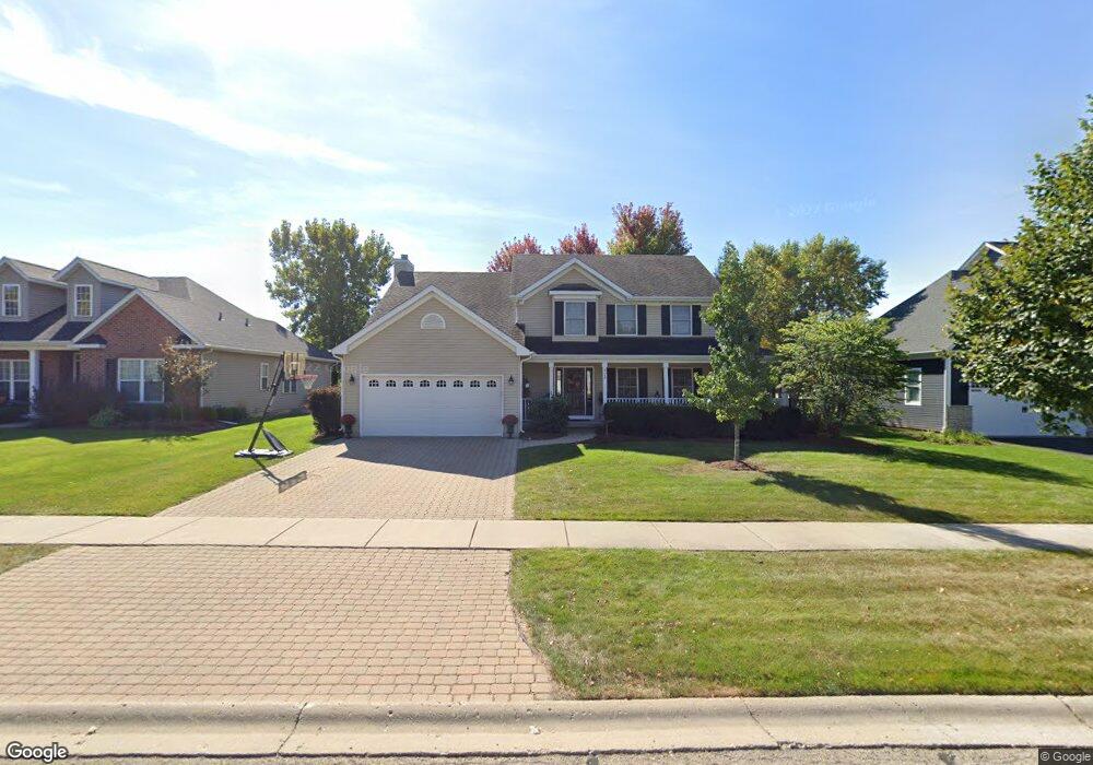
925 Independence Ave Elburn, IL 60119
Estimated Value: $498,000 - $557,000
About This Home
This home is located at 925 Independence Ave, Elburn, IL 60119 and is currently estimated at $516,303, approximately $203 per square foot. 925 Independence Ave is a home located in Kane County with nearby schools including Kaneland Blackberry Creek Elementary School, Harter Middle School, and Kaneland High School.
Ownership History
We collect this data history from publicly available records. To have your information removed, we recommend requesting removal directly through your county’s website.
Purchase Details
Home Financials for this Owner
Home Financials are based on the most recent Mortgage that was taken out on this home.Home Values in the Area
Average Home Value in this Area
Purchase History
We collect this data history from publicly available records. To have your information removed, we recommend requesting removal directly through your county’s website.
| Date | Buyer | Sale Price | Title Company |
|---|---|---|---|
| $310,500 | American Title |
Mortgage History
We collect this data history from publicly available records. To have your information removed, we recommend requesting removal directly through your county’s website.
| Date | Status | Borrower | Loan Amount |
|---|---|---|---|
| Open | $231,300 |
Tax History
We collect this data history from publicly available records. To have your information removed, we recommend requesting removal directly through your county’s website.
| Year | Tax Paid | Tax Assessment Tax Assessment Total Assessment is a certain percentage of the fair market value that is determined by local assessors to be the total taxable value of land and additions on the property. | Land | Improvement |
|---|---|---|---|---|
| 2024 | $10,797 | $133,778 | $17,164 | $116,614 |
| 2023 | $10,401 | $120,738 | $15,491 | $105,247 |
| 2022 | $9,633 | $107,278 | $14,217 | $93,061 |
| 2021 | $9,280 | $102,678 | $13,607 | $89,071 |
| 2020 | $9,110 | $100,271 | $13,288 | $86,983 |
| 2019 | $9,115 | $98,799 | $13,093 | $85,706 |
| 2018 | $9,450 | $100,351 | $13,093 | $87,258 |
| 2017 | $9,452 | $99,210 | $12,944 | $86,266 |
| 2016 | $9,640 | $98,437 | $12,602 | $85,835 |
| 2015 | -- | $90,439 | $8,711 | $81,728 |
| 2014 | -- | $83,529 | $11,167 | $72,362 |
| 2013 | -- | $83,529 | $11,167 | $72,362 |
Map
- 990 Citizen Ave
- 692 Independence Ave
- 834 Citizen Ave
- 635 Independence Ave
- 1010 Sears Cir
- 16 Derek Dr
- 886 Simpson Ave
- 1N164 Stargrass Ln
- #11 Derek Dr
- Lot #12 Derek Dr
- Lot #5 Derek Dr
- Lot #7 Derek Dr
- 0S790 Rowe Rd
- Lot 9 Rowe Rd
- 721 Cherry Cir
- 1s Il Route 47
- 436 Banbury Ave
- 212 E Kansas St
- 220 S 1st St
- 18.5 Acres Rt 47 - Hughes Rd
- 937 Independence Ave
- 913 Independence Ave Unit 2
- 949 Independence Ave
- 901 Independence Ave
- 924 Independence Ave Unit 924
- 924 Independence Ave Unit 1
- 924 Independence Ave
- 946 Independence Ave
- 946 Independence Ave
- 912 Independence Ave
- 951 Independence Ave
- 885 Independence Ave Unit 2
- 900 Independence Ave
- 968 Independence Ave
- 861 Independence Ave
- 1583 Melbourne St
- 1571 Melbourne St
- 847 Independence Ave Unit 2
- 18 Hughes Rd
- 1543 Melbourne St Unit 2
Ask me questions while you tour the home.