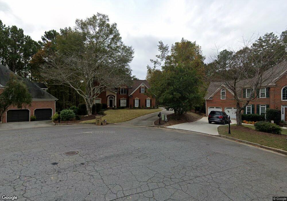
925 Laurel Crest Dr Woodstock, GA 30189
Oak Grove NeighborhoodEstimated Value: $628,892 - $654,000
5
Beds
4
Baths
4,003
Sq Ft
$160/Sq Ft
Est. Value
About This Home
This home is located at 925 Laurel Crest Dr, Woodstock, GA 30189 and is currently estimated at $641,446, approximately $160 per square foot. 925 Laurel Crest Dr is a home located in Cherokee County with nearby schools including Bascomb Elementary School, E. T. Booth Middle School, and Etowah High School.
Ownership History
Date
Name
Owned For
Owner Type
Purchase Details
Closed on
Jun 15, 2007
Sold by
Olson Christopher and Olson Nancy
Bought by
Watts Stanley A and Watts Stephanie L
Current Estimated Value
Home Financials for this Owner
Home Financials are based on the most recent Mortgage that was taken out on this home.
Original Mortgage
$256,000
Outstanding Balance
$155,121
Interest Rate
6.1%
Mortgage Type
New Conventional
Estimated Equity
$486,325
Purchase Details
Closed on
Jul 25, 2001
Sold by
Small Deborah E
Bought by
Olson Christopher and Olson Nancy
Home Financials for this Owner
Home Financials are based on the most recent Mortgage that was taken out on this home.
Original Mortgage
$269,800
Interest Rate
6.97%
Mortgage Type
New Conventional
Create a Home Valuation Report for This Property
The Home Valuation Report is an in-depth analysis detailing your home's value as well as a comparison with similar homes in the area
Home Values in the Area
Average Home Value in this Area
Purchase History
| Date | Buyer | Sale Price | Title Company |
|---|---|---|---|
| Watts Stanley A | $320,000 | -- | |
| Olson Christopher | $284,000 | -- |
Source: Public Records
Mortgage History
| Date | Status | Borrower | Loan Amount |
|---|---|---|---|
| Open | Watts Stanley A | $256,000 | |
| Previous Owner | Olson Christopher | $269,800 |
Source: Public Records
Tax History Compared to Growth
Tax History
| Year | Tax Paid | Tax Assessment Tax Assessment Total Assessment is a certain percentage of the fair market value that is determined by local assessors to be the total taxable value of land and additions on the property. | Land | Improvement |
|---|---|---|---|---|
| 2025 | $5,798 | $250,972 | $47,200 | $203,772 |
| 2024 | $5,483 | $235,900 | $47,200 | $188,700 |
| 2023 | $5,011 | $234,108 | $47,200 | $186,908 |
| 2022 | $4,430 | $183,356 | $29,960 | $153,396 |
| 2021 | $4,255 | $160,004 | $29,960 | $130,044 |
| 2020 | $4,021 | $149,728 | $28,000 | $121,728 |
| 2019 | $3,828 | $141,440 | $28,000 | $113,440 |
| 2018 | $3,736 | $136,640 | $28,000 | $108,640 |
| 2017 | $3,765 | $341,700 | $28,000 | $108,680 |
| 2016 | $3,328 | $291,600 | $24,000 | $92,640 |
| 2015 | $3,086 | $268,200 | $24,000 | $83,280 |
| 2014 | $2,898 | $251,700 | $24,000 | $76,680 |
Source: Public Records
Map
Nearby Homes
- 923 Laurel Crest Dr
- 1306 Amberwood Dr
- 924 Laurel Crest Dr
- 1308 Amberwood Dr Unit 1
- 1308 Amberwood Dr Unit 103
- 0 Amberwood Dr Unit 8990402
- 0 Amberwood Dr Unit 7321049
- 0 Amberwood Dr Unit 7452909
- 0 Amberwood Dr Unit 7455709
- 0 Amberwood Dr Unit 103
- 1310 Amberwood Dr
- 1304 Amberwood Dr
- 922 Laurel Crest Dr
- 1312 Amberwood Dr
- 919 Laurel Crest Dr
- 0 Laurel Crest Dr Unit 7448284
- 0 Laurel Crest Dr Unit 7058835
- 0 Laurel Crest Dr Unit 8860724
- 0 Laurel Crest Dr Unit 8782975
- 0 Laurel Crest Dr Unit 8581016