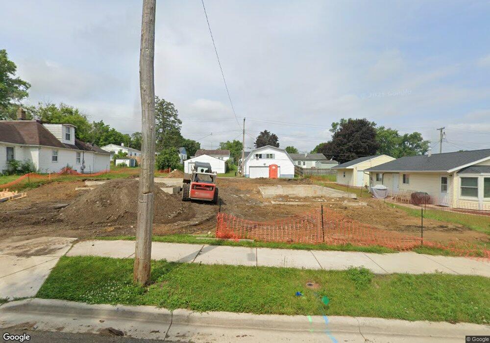
925 Queensboro Ave Mishawaka, IN 46544
Estimated Value: $67,000
2
Beds
1
Bath
860
Sq Ft
$78/Sq Ft
Est. Value
About This Home
This home is located at 925 Queensboro Ave, Mishawaka, IN 46544 and is currently priced at $67,000, approximately $77 per square foot. 925 Queensboro Ave is a home located in St. Joseph County with nearby schools including Lasalle Elementary School, John J. Young Middle School, and Mishawaka High School.
Ownership History
Date
Name
Owned For
Owner Type
Purchase Details
Closed on
Jan 12, 2024
Sold by
City Of Mishawaka
Bought by
Habitat and Habitat Humanity
Current Estimated Value
Purchase Details
Closed on
Jan 5, 2024
Sold by
City Of Mishawaka
Bought by
Habitat and Humanity
Purchase Details
Closed on
May 29, 2018
Sold by
Surface Ronald V
Bought by
City Of Mishawaka
Purchase Details
Closed on
May 3, 2018
Sold by
Powell Edwin
Bought by
City Of Mishawaka
Purchase Details
Closed on
Feb 3, 2005
Sold by
Szabo Steven R
Bought by
Surface Ronald
Create a Home Valuation Report for This Property
The Home Valuation Report is an in-depth analysis detailing your home's value as well as a comparison with similar homes in the area
Home Values in the Area
Average Home Value in this Area
Purchase History
| Date | Buyer | Sale Price | Title Company |
|---|---|---|---|
| Habitat | -- | Title Services Corporation | |
| Habitat | -- | Title Services Corporation | |
| City Of Mishawaka | -- | Metropolitan Title | |
| City Of Mishawaka | -- | None Available | |
| Surface Ronald | -- | None Available |
Source: Public Records
Tax History Compared to Growth
Tax History
| Year | Tax Paid | Tax Assessment Tax Assessment Total Assessment is a certain percentage of the fair market value that is determined by local assessors to be the total taxable value of land and additions on the property. | Land | Improvement |
|---|---|---|---|---|
| 2024 | -- | -- | -- | -- |
| 2022 | $0 | $0 | $0 | $0 |
| 2021 | $0 | $0 | $0 | $0 |
| 2020 | $0 | $0 | $0 | $0 |
| 2019 | $1,877 | $0 | $0 | $0 |
| 2018 | $0 | $0 | $0 | $0 |
| 2017 | $1,877 | $56,300 | $14,100 | $42,200 |
| 2016 | $1,797 | $56,300 | $14,100 | $42,200 |
| 2014 | $1,563 | $57,800 | $14,100 | $43,700 |
Source: Public Records
Map
Nearby Homes
- 712 Geyer Ave
- 712 Hubbard St
- 2710 Milburn Blvd
- 2412 Milburn Blvd
- 514 S Middleboro Ave
- 1913 E Fox St
- 516 Somerset Ave
- 519 Grand Blvd
- 912 Reddick St
- 1801 Robinson St
- 510 Reddick St
- 2500 Topsfield #922 Rd
- 2500 Topsfield Rd Unit 805
- 2500 Topsfield Rd Unit 904
- 2500 Topsfield Rd Unit 703
- 2500 Topsfield Rd Unit 411
- 1331 S 29th St
- 1526 E Calvert St
- 909 Jackson St
- 1625 Lincolnway W
- 921 Queensboro Ave
- 1009 Queensboro Ave
- 917 Queensboro Ave
- 1011 Queensboro Ave
- 1002 Geyer St
- 926 Geyer St
- 922 Geyer St
- 1006 Geyer St
- 1015 Queensboro Ave
- 913 Queensboro Ave
- 1006 Geyer Ave
- 918 Geyer St
- 1010 Geyer St
- 1010 Geyer Ave
- 1001 S Russell Ave
- 1017 Queensboro Ave
- 914 Geyer St
- 923 S Russell Ave
- 1014 Geyer St
- 1009 S Russell Ave