925 Sheridan Rd Lake Bluff, IL 60044
Estimated Value: $2,752,000 - $7,866,000
6
Beds
9
Baths
9,000
Sq Ft
$566/Sq Ft
Est. Value
About This Home
This home is located at 925 Sheridan Rd, Lake Bluff, IL 60044 and is currently estimated at $5,091,194, approximately $565 per square foot. 925 Sheridan Rd is a home located in Lake County with nearby schools including Lake Bluff Elementary School, Lake Bluff Middle School, and Lake Forest High School.
Ownership History
Date
Name
Owned For
Owner Type
Purchase Details
Closed on
Sep 9, 2020
Sold by
Blair Edward Mccormick and Blair Francis Iglehart
Bought by
Chicago Title Land Trust and Trust Number 8002384209
Current Estimated Value
Purchase Details
Closed on
Dec 14, 1993
Sold by
Schuler Jack W and Schuler Renate
Bought by
Chicago Title & Trust Company
Create a Home Valuation Report for This Property
The Home Valuation Report is an in-depth analysis detailing your home's value as well as a comparison with similar homes in the area
Home Values in the Area
Average Home Value in this Area
Purchase History
| Date | Buyer | Sale Price | Title Company |
|---|---|---|---|
| Chicago Title Land Trust | $3,000,000 | Gmt Title Agency | |
| Chicago Title & Trust Company | -- | -- |
Source: Public Records
Tax History Compared to Growth
Tax History
| Year | Tax Paid | Tax Assessment Tax Assessment Total Assessment is a certain percentage of the fair market value that is determined by local assessors to be the total taxable value of land and additions on the property. | Land | Improvement |
|---|---|---|---|---|
| 2024 | $78,922 | $1,174,990 | $1,174,990 | -- |
| 2023 | $70,957 | $1,083,140 | $1,083,140 | -- |
| 2022 | $70,957 | $1,003,052 | $1,003,052 | $0 |
| 2021 | $68,492 | $994,401 | $994,401 | $0 |
| 2020 | $66,996 | $999,900 | $999,900 | $0 |
| 2019 | $74,394 | $1,130,301 | $1,130,301 | $0 |
| 2018 | $90,600 | $1,412,432 | $1,412,432 | $0 |
| 2017 | $89,852 | $1,388,822 | $1,388,822 | $0 |
| 2016 | $107,775 | $1,730,938 | $1,321,932 | $409,006 |
| 2015 | $112,335 | $1,629,885 | $1,244,757 | $385,128 |
| 2014 | $12,003 | $1,623,185 | $1,238,308 | $384,877 |
| 2012 | $104,927 | $1,637,266 | $1,249,050 | $388,216 |
Source: Public Records
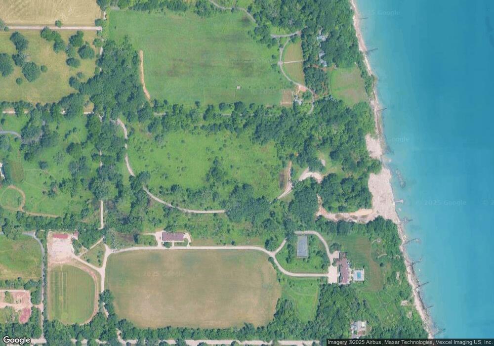
Map
Nearby Homes
- 697 Bluff Rd
- 666 Maple Ave
- 117 E Washington Ave
- 701 E Center Ave
- 120 E Scranton Ave Unit 202
- 120 E Scranton Ave Unit 203
- 120 E Scranton Ave Unit 201
- 120 E Scranton Ave Unit 102
- 120 E Scranton Ave Unit 103
- 546 Lakeland Dr
- 321 Newman Ct
- 145 Moffett Rd
- 188 Melvin Dr
- 700 Forest Cove Rd
- 131 Moffett Rd
- 55 Trowbridge Cir
- 28 Warrington Dr
- 39 Warrington Dr
- 208 Park Ln
- 8 Warrington Dr Unit 1
- 925 N Sheridan Rd
- 700 Crabtree Ln
- 700 Crabtree Ln
- 515 E Blodgett Ave
- 507 E Blodgett Ave
- 425 E Blodgett Ave
- 525 E Blodgett Ave
- 503 E Blodgett Ave
- 541 E Blodgett Ave
- 770 Moffett Rd
- 726 Birch Rd
- 405 E Blodgett Ave
- 755 Moffett Rd
- 355 E Blodgett Ave
- 722 Birch Rd
- 343 E Blodgett Ave
- 752 Moffett Rd
- 721 Birch Rd
- 718 Birch Rd