925 Tamarac Ln Robins, IA 52328
Estimated Value: $504,000 - $513,000
5
Beds
--
Bath
1,972
Sq Ft
$257/Sq Ft
Est. Value
About This Home
This home is located at 925 Tamarac Ln, Robins, IA 52328 and is currently estimated at $506,805, approximately $257 per square foot. 925 Tamarac Ln is a home with nearby schools including Hiawatha Elementary School, Harding Middle School, and John F. Kennedy High School.
Ownership History
Date
Name
Owned For
Owner Type
Purchase Details
Closed on
Aug 27, 2013
Sold by
Turnberry 1 Llc
Bought by
Wacker Cason W and Wacker Sarah J
Current Estimated Value
Home Financials for this Owner
Home Financials are based on the most recent Mortgage that was taken out on this home.
Original Mortgage
$245,013
Interest Rate
4.38%
Mortgage Type
Construction
Create a Home Valuation Report for This Property
The Home Valuation Report is an in-depth analysis detailing your home's value as well as a comparison with similar homes in the area
Home Values in the Area
Average Home Value in this Area
Purchase History
We collect this data history from publicly available records. To have your information removed, we recommend requesting removal directly through your county’s website.
| Date | Buyer | Sale Price | Title Company |
|---|---|---|---|
| Wacker Cason W | $56,000 | None Available |
Source: Public Records
Mortgage History
We collect this data history from publicly available records. To have your information removed, we recommend requesting removal directly through your county’s website.
| Date | Status | Borrower | Loan Amount |
|---|---|---|---|
| Closed | Wacker Cason W | $245,013 |
Source: Public Records
Tax History
| Year | Tax Paid | Tax Assessment Tax Assessment Total Assessment is a certain percentage of the fair market value that is determined by local assessors to be the total taxable value of land and additions on the property. | Land | Improvement |
|---|---|---|---|---|
| 2025 | $6,208 | $475,200 | $60,800 | $414,400 |
| 2024 | $5,210 | $470,500 | $60,800 | $409,700 |
| 2023 | $5,210 | $470,500 | $60,800 | $409,700 |
| 2022 | $5,548 | $350,800 | $60,800 | $290,000 |
| 2021 | $5,870 | $350,800 | $60,800 | $290,000 |
| 2020 | $5,870 | $344,200 | $60,800 | $283,400 |
| 2019 | $5,358 | $320,500 | $50,700 | $269,800 |
| 2018 | $5,270 | $320,500 | $50,700 | $269,800 |
| 2017 | $5,412 | $314,500 | $50,700 | $263,800 |
| 2016 | $5,412 | $314,500 | $50,700 | $263,800 |
| 2015 | $3,818 | $221,200 | $50,700 | $170,500 |
| 2014 | $3,668 | $0 | $0 | $0 |
| 2013 | -- | $0 | $0 | $0 |
Source: Public Records
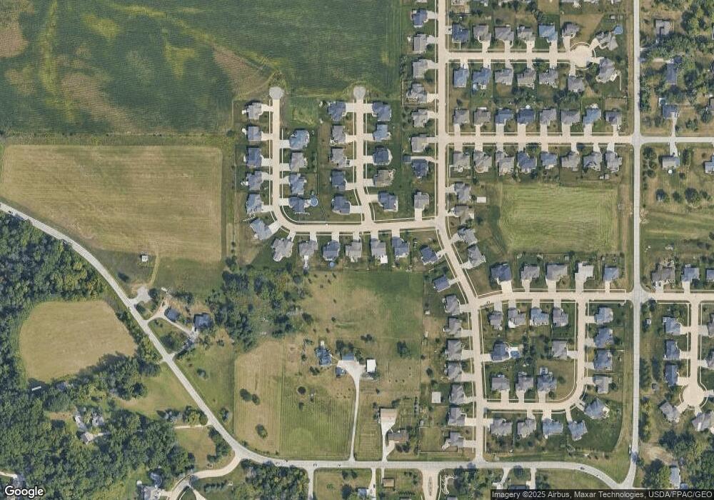
Map
Nearby Homes
- 70.78 Acres M/L Quass Rd
- 26.35 Acres M/L Quass Rd
- 0 70 78 Acres M L Quass Rd
- 1917 Kaylin Ct
- 1920 Kaylin Ct
- 1940 Kaylin Ct
- 1970 Kaylin Ct
- 0 26 35 Acres M L Quass Rd
- 0 Rd
- 195 Morgan Ct
- 1975 Kaylin Ct
- 0 28 72 Acres N Center Point Rd
- 39.69 Acres M/L N Center Point Rd
- 28.72 Acres M/L N Center Point Rd
- 8.98 Acres M/L N Center Point Rd
- 0 8 98 Acres M L N Center Point Rd Unit 2507297
- 3221 Village Way
- 3217 Village Way
- 3225 Village Way
- 3230 N Center Point Rd Unit Lot 3
- 915 Tamarac Ln
- 935 Tamarac Ln
- 905 Tamarac Ln
- 375 Kilbirnie Rd
- 945 Tamarac Ln
- 370 Kilbirnie Rd
- 385 Kilbirnie Rd
- 370 Ascot Ln
- 335 White Pine St
- 380 Kilbirnie Rd
- 955 Tamarac Ln
- 890 Tamarac Ln
- 295 White Pine St
- 395 Kilbirnie Rd
- 365 Ascot Ln
- 390 Kilbirnie Rd
- 390 Ascot Ln
- 385 White Pine St
- 285 White Pine St
- 1110 W Main St
Your Personal Tour Guide
Ask me questions while you tour the home.