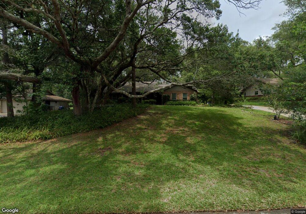
925 Torchwood Dr Deland, FL 32724
Estimated Value: $333,443 - $405,000
3
Beds
2
Baths
1,780
Sq Ft
$211/Sq Ft
Est. Value
About This Home
This home is located at 925 Torchwood Dr, Deland, FL 32724 and is currently estimated at $374,861, approximately $210 per square foot. 925 Torchwood Dr is a home located in Volusia County with nearby schools including Freedom Elementary School, Deland High School, and Deland Middle School.
Ownership History
Date
Name
Owned For
Owner Type
Purchase Details
Closed on
Aug 31, 1993
Sold by
Voss Paul L and Voss Judy D
Bought by
Smith Susan A
Current Estimated Value
Home Financials for this Owner
Home Financials are based on the most recent Mortgage that was taken out on this home.
Original Mortgage
$76,000
Interest Rate
7.21%
Purchase Details
Closed on
May 15, 1987
Bought by
Smith Susan A
Purchase Details
Closed on
May 15, 1980
Bought by
Smith Susan A
Create a Home Valuation Report for This Property
The Home Valuation Report is an in-depth analysis detailing your home's value as well as a comparison with similar homes in the area
Home Values in the Area
Average Home Value in this Area
Purchase History
| Date | Buyer | Sale Price | Title Company |
|---|---|---|---|
| Smith Susan A | $97,900 | -- | |
| Smith Susan A | $91,000 | -- | |
| Smith Susan A | $64,500 | -- |
Source: Public Records
Mortgage History
| Date | Status | Borrower | Loan Amount |
|---|---|---|---|
| Closed | Smith Susan A | $76,000 |
Source: Public Records
Tax History Compared to Growth
Tax History
| Year | Tax Paid | Tax Assessment Tax Assessment Total Assessment is a certain percentage of the fair market value that is determined by local assessors to be the total taxable value of land and additions on the property. | Land | Improvement |
|---|---|---|---|---|
| 2025 | $1,795 | $127,336 | -- | -- |
| 2024 | $1,795 | $123,748 | -- | -- |
| 2023 | $1,795 | $120,144 | $0 | $0 |
| 2022 | $1,738 | $116,645 | $0 | $0 |
| 2021 | $1,761 | $113,248 | $0 | $0 |
| 2020 | $1,729 | $111,684 | $0 | $0 |
| 2019 | $1,763 | $109,173 | $0 | $0 |
| 2018 | $1,740 | $107,137 | $0 | $0 |
| 2017 | $1,720 | $104,933 | $0 | $0 |
| 2016 | $1,640 | $102,775 | $0 | $0 |
| 2015 | $1,666 | $102,061 | $0 | $0 |
| 2014 | $1,644 | $101,251 | $0 | $0 |
Source: Public Records
Map
Nearby Homes
- 929 Torchwood Dr
- 889 Torchwood Dr
- 860 Torchwood Dr
- 2032 Yorkshire Dr
- 511 Baroness Way
- 2094 Penn Dr
- 802 Royal Oak Ct
- 810 E Yorkshire Dr
- 1026 Torchwood Dr
- 801 Royal Oak Ct
- 1745 Taylor Woods Rd
- 1516 Rockwell Heights Dr
- 574 Lady Grace Place
- 551 Shaelyn Place
- 435 Anne St
- 2337 Oxmoor Dr
- 257 Huntington Dr
- 531 Emily Glen St
- 391 Lady Bella Place
- 1540 Bent Oaks Blvd
- 642 Princewood Dr
- 917 Torchwood Dr
- 933 Torchwood Dr
- 622 Princewood Dr
- 652 Princewood Dr
- 926 Torchwood Dr
- 922 Torchwood Dr
- 930 Torchwood Dr
- 662 Princewood Dr
- 602 Princewood Dr
- 900 Torchwood Dr
- 918 Torchwood Dr
- 934 Torchwood Dr
- 665 Princewood Dr
- 894 Torchwood Dr
- 914 Torchwood Dr
- 801 Westchester Dr
- 749 Westchester Dr
- 939 Torchwood Dr
- 909 Torchwood Dr