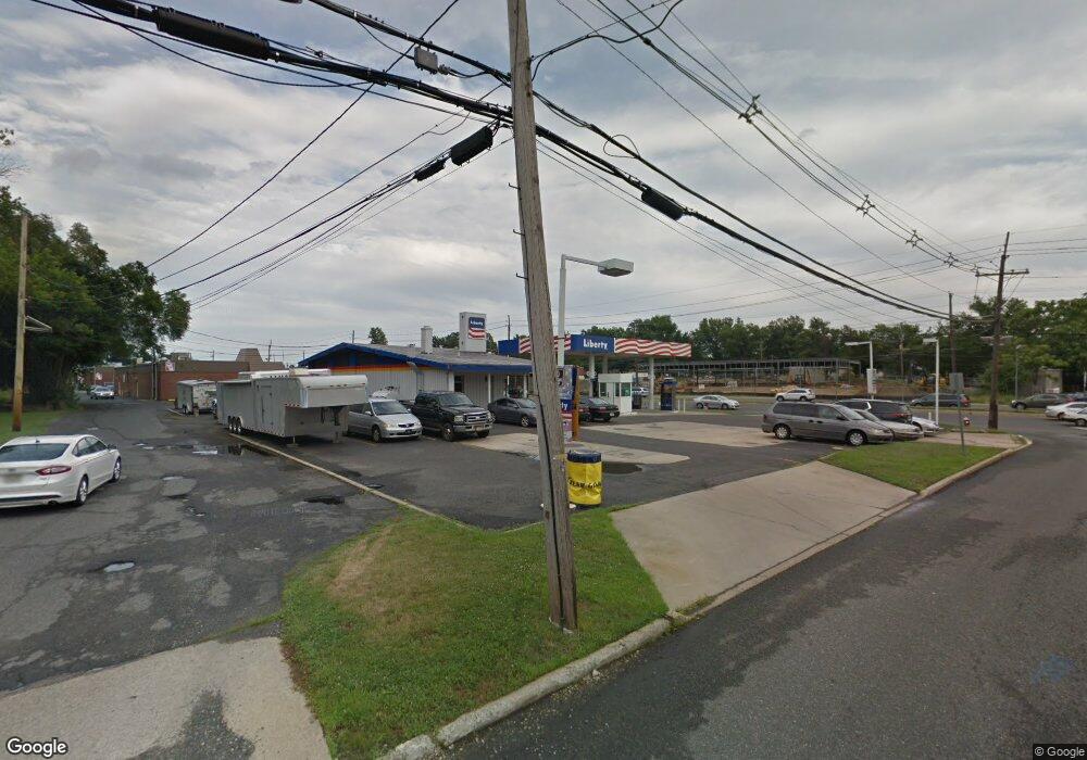
925 W Route 70 Marlton, NJ 08053
Estimated Value: $531,145
--
Bed
--
Bath
1,653
Sq Ft
$321/Sq Ft
Est. Value
About This Home
This home is located at 925 W Route 70, Marlton, NJ 08053 and is currently estimated at $531,145, approximately $321 per square foot. 925 W Route 70 is a home located in Burlington County with nearby schools including J. Harold Vanzant Elementary School, Frances Demasi Middle School, and Cherokee High School.
Ownership History
Date
Name
Owned For
Owner Type
Purchase Details
Closed on
Oct 31, 2023
Sold by
Wright Scott E and Wright Laurel Kelli
Bought by
Mr3 Reality Holdings Llc
Current Estimated Value
Home Financials for this Owner
Home Financials are based on the most recent Mortgage that was taken out on this home.
Original Mortgage
$500,000
Outstanding Balance
$491,261
Interest Rate
7.49%
Mortgage Type
Construction
Estimated Equity
$39,884
Purchase Details
Closed on
Jan 29, 2010
Sold by
Mccorkle Peter J and Mccorkle Sharyn W
Bought by
Wright Scott E and Wright Laurel Kelli
Home Financials for this Owner
Home Financials are based on the most recent Mortgage that was taken out on this home.
Original Mortgage
$755,000
Interest Rate
5.12%
Mortgage Type
Commercial
Create a Home Valuation Report for This Property
The Home Valuation Report is an in-depth analysis detailing your home's value as well as a comparison with similar homes in the area
Home Values in the Area
Average Home Value in this Area
Purchase History
| Date | Buyer | Sale Price | Title Company |
|---|---|---|---|
| Mr3 Reality Holdings Llc | $450,000 | None Listed On Document | |
| Wright Scott E | $755,000 | None Available |
Source: Public Records
Mortgage History
| Date | Status | Borrower | Loan Amount |
|---|---|---|---|
| Open | Mr3 Reality Holdings Llc | $500,000 | |
| Previous Owner | Wright Scott E | $755,000 |
Source: Public Records
Tax History Compared to Growth
Tax History
| Year | Tax Paid | Tax Assessment Tax Assessment Total Assessment is a certain percentage of the fair market value that is determined by local assessors to be the total taxable value of land and additions on the property. | Land | Improvement |
|---|---|---|---|---|
| 2025 | $21,962 | $643,100 | $360,000 | $283,100 |
| 2024 | $20,663 | $643,100 | $360,000 | $283,100 |
| 2023 | $20,663 | $643,100 | $360,000 | $283,100 |
| 2022 | $19,737 | $643,100 | $360,000 | $283,100 |
| 2021 | $19,274 | $643,100 | $360,000 | $283,100 |
| 2020 | $19,023 | $643,100 | $360,000 | $283,100 |
| 2019 | $18,869 | $643,100 | $360,000 | $283,100 |
| 2018 | $18,605 | $643,100 | $360,000 | $283,100 |
| 2017 | $18,386 | $643,100 | $360,000 | $283,100 |
| 2016 | $17,936 | $643,100 | $360,000 | $283,100 |
| 2015 | $17,621 | $643,100 | $360,000 | $283,100 |
| 2014 | $17,119 | $643,100 | $360,000 | $283,100 |
Source: Public Records
Map
Nearby Homes
- 110 Conestoga Dr
- 108 W Burgess Rd
- 319 Mimosa Dr
- 220 Deerpark Ct
- 100 E Eagle Ln
- 250 Fir Tree Ct
- 22 E Split Rock Dr
- 122 Hamilton Rd
- 112 Champlain Rd
- 100 Old Colony Ln
- 906 Chesterwood Ct
- 645 Croyden Dr
- 25 Champlain Rd
- 419 Old Orchard Rd
- 26 Regent Rd
- 48 Lakeview Dr
- 53 Apple Way
- 32 Lakeview Dr
- 38 Ashley Ct Unit 38
- 63 Banner Ct Unit 63
- 1245 New Jersey 70
- 1315 New Jersey 70
- 1425 New Jersey 70
- 1465 New Jersey 70
- 901 New Jersey 70
- 100 Conestoga Dr
- 100 Conestoga Dr Unit 198
- 100 Conestoga Dr Unit 187
- 100 Conestoga Dr Unit 112
- 100 Conestoga Dr Unit 182
- 100 Conestoga Dr Unit 185
- 100 Conestoga Dr Unit 124
- 100 Conestoga Dr Unit 136
- 100 Conestoga Dr Unit 202
- 100 Conestoga Dr Unit 165
- 100 Conestoga Dr Unit 126
- 100 Conestoga Dr
- 2274 New Jersey 70
- 2272 New Jersey 70
- 936 W Route 70