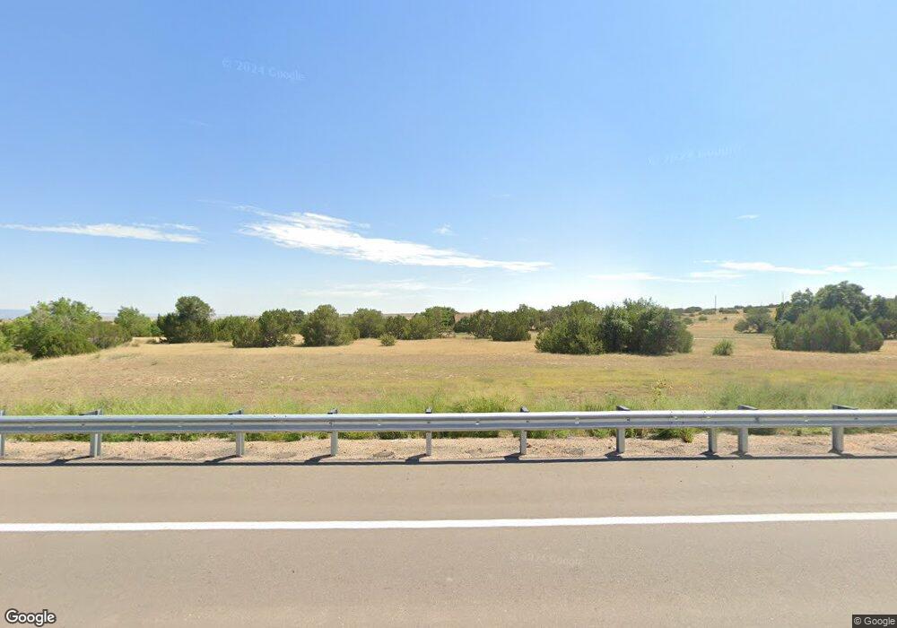
9254 State Highway 67 Florence, CO 81226
Estimated Value: $513,000 - $751,000
3
Beds
4
Baths
2,113
Sq Ft
$293/Sq Ft
Est. Value
About This Home
This home is located at 9254 State Highway 67, Florence, CO 81226 and is currently estimated at $619,118, approximately $293 per square foot. 9254 State Highway 67 is a home located in Fremont County with nearby schools including Fremont Elementary School and Florence High School.
Ownership History
Date
Name
Owned For
Owner Type
Purchase Details
Closed on
Jun 18, 2014
Sold by
Weaver Ernest D and Weaver Patricia A
Bought by
Thurnau Gary L
Current Estimated Value
Purchase Details
Closed on
Jan 19, 2007
Sold by
Wachovia Bank Na
Bought by
Weaver Ernest D and Weaver Patricia Ann
Home Financials for this Owner
Home Financials are based on the most recent Mortgage that was taken out on this home.
Original Mortgage
$188,000
Interest Rate
6.19%
Mortgage Type
New Conventional
Purchase Details
Closed on
Sep 28, 2006
Sold by
Toler Randy E and Toler Domoni A
Bought by
Wachovia Bank Na
Create a Home Valuation Report for This Property
The Home Valuation Report is an in-depth analysis detailing your home's value as well as a comparison with similar homes in the area
Home Values in the Area
Average Home Value in this Area
Purchase History
| Date | Buyer | Sale Price | Title Company |
|---|---|---|---|
| Thurnau Gary L | $265,000 | None Available | |
| Weaver Ernest D | $235,000 | Stewart Title | |
| Wachovia Bank Na | -- | None Available |
Source: Public Records
Mortgage History
| Date | Status | Borrower | Loan Amount |
|---|---|---|---|
| Previous Owner | Weaver Ernest D | $188,000 |
Source: Public Records
Tax History Compared to Growth
Tax History
| Year | Tax Paid | Tax Assessment Tax Assessment Total Assessment is a certain percentage of the fair market value that is determined by local assessors to be the total taxable value of land and additions on the property. | Land | Improvement |
|---|---|---|---|---|
| 2024 | $1,736 | $32,950 | $0 | $0 |
| 2023 | $1,736 | $29,266 | $0 | $0 |
| 2022 | $1,579 | $26,925 | $0 | $0 |
| 2021 | $1,595 | $27,700 | $0 | $0 |
| 2020 | $1,176 | $25,058 | $0 | $0 |
| 2019 | $1,193 | $25,058 | $0 | $0 |
| 2018 | $1,073 | $22,873 | $0 | $0 |
| 2017 | $1,102 | $22,873 | $0 | $0 |
| 2016 | $1,107 | $23,260 | $0 | $0 |
| 2015 | $1,093 | $23,260 | $0 | $0 |
| 2012 | $1,280 | $24,313 | $5,499 | $18,814 |
Source: Public Records
Map
Nearby Homes
- TBD Highway 67
- TBD 2 Ranch Rd
- 0 County Road 103
- 254 Bandito Trail
- 247 Wetmore Vista Dr
- TBD Lot 8 Newlin Ridge Rd Unit 8
- 1218 County Road 32x
- TBD County Road 15
- 101 Cholla Cir
- 5339 County Road 19
- 110 Yucca Ave
- 601 County Road 108
- 709 County Road 108
- 949 Coyote Cir
- 348 Arrowhead Dr
- 346 Arrowhead Dr
- 344 Arrowhead Dr
- TBD Cedar St
- 340 Arrowhead Dr
- 1134 Moore Dr
- 9254 State Highway 67
- 9254 State Highway 67
- 9254 Colorado 67
- 9365 State Highway 67
- 9365 State Highway 67
- TBD Highway 67
- 9115 State Highway 67
- 9115 State Highway 67
- 9116 State Highway 67
- 000 Cr 103
- 460 County Road 103 Unit FRE
- 460 County Road 103
- 9138 State Highway 67
- 9138 State Highway 67
- 9138 Colorado 67
- 480 County Road 103 Unit FRE
- 8760 State Highway 67
- 212 County Road 19c Unit FRE
- 2919 County Road 103
- 2919 County Road 103
