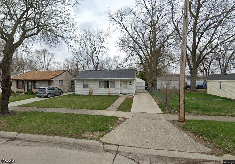
926 Baxter Ave Madison Heights, MI 48071
Estimated Value: $167,000 - $190,000
2
Beds
1
Bath
950
Sq Ft
$185/Sq Ft
Est. Value
About This Home
This home is located at 926 Baxter Ave, Madison Heights, MI 48071 and is currently estimated at $175,579, approximately $184 per square foot. 926 Baxter Ave is a home located in Oakland County with nearby schools including Keller Elementary, Royal Oak Middle School, and Royal Oak High School.
Ownership History
Date
Name
Owned For
Owner Type
Purchase Details
Closed on
Oct 17, 2011
Sold by
Davis Justin P
Bought by
Kokaj Artur
Current Estimated Value
Purchase Details
Closed on
May 20, 2006
Sold by
Abel Tilla Rose
Bought by
Davis Justine
Purchase Details
Closed on
Jun 15, 2005
Sold by
Macnish Margaret and Macnish Shawn Anne
Bought by
Abel Tilla Rose
Home Financials for this Owner
Home Financials are based on the most recent Mortgage that was taken out on this home.
Original Mortgage
$96,000
Interest Rate
5.86%
Mortgage Type
Fannie Mae Freddie Mac
Create a Home Valuation Report for This Property
The Home Valuation Report is an in-depth analysis detailing your home's value as well as a comparison with similar homes in the area
Home Values in the Area
Average Home Value in this Area
Purchase History
| Date | Buyer | Sale Price | Title Company |
|---|---|---|---|
| Kokaj Artur | $26,500 | None Available | |
| Davis Justine | $107,000 | None Available | |
| Abel Tilla Rose | $96,000 | Metropolitan Title Company |
Source: Public Records
Mortgage History
| Date | Status | Borrower | Loan Amount |
|---|---|---|---|
| Previous Owner | Abel Tilla Rose | $96,000 |
Source: Public Records
Tax History Compared to Growth
Tax History
| Year | Tax Paid | Tax Assessment Tax Assessment Total Assessment is a certain percentage of the fair market value that is determined by local assessors to be the total taxable value of land and additions on the property. | Land | Improvement |
|---|---|---|---|---|
| 2024 | $1,371 | $73,680 | $0 | $0 |
| 2023 | $1,309 | $65,250 | $0 | $0 |
| 2022 | $1,567 | $57,850 | $0 | $0 |
| 2021 | $1,472 | $43,710 | $0 | $0 |
| 2020 | $1,173 | $38,170 | $0 | $0 |
| 2019 | $1,413 | $33,440 | $0 | $0 |
| 2018 | $1,396 | $28,980 | $0 | $0 |
| 2017 | $1,358 | $28,980 | $0 | $0 |
| 2016 | $1,312 | $24,380 | $0 | $0 |
| 2015 | -- | $22,370 | $0 | $0 |
| 2014 | -- | $20,620 | $0 | $0 |
| 2011 | -- | $26,210 | $0 | $0 |
Source: Public Records
Map
Nearby Homes
- 932 Mace Ave
- 940 Mace Ave
- 27059 Hampden St
- 2214 Baxter Ave
- 415 N Stephenson Hwy
- 209 Helene Ave
- 26584 Hampden St
- 122 S Edgeworth Ave
- 27028 Barrington St
- 627 Symes Ave
- 305 N Kenwood Ave
- 26537 Brettonwoods St
- 116 S Kenwood Ave
- 27050 Palmer Blvd
- 131 S Dorchester Ave
- 303 N Dorchester Ave
- 27840 Hampden St
- 27138 Alger Blvd
- 27720 Barrington St
- 27121 Brush St
- 934 Baxter Ave
- 27213 Lenox Ave
- 942 Baxter Ave
- 27205 Lenox Ave
- 950 Baxter Ave
- 27221 Lenox Ave
- 945 W University Ave
- 953 W University Ave
- 931 Baxter Ave
- 958 Baxter Ave
- 939 Baxter Ave
- 913 Baxter Ave
- 921 Baxter Ave
- 947 Baxter Ave
- 961 W University Ave
- 969 W University Ave
- 27307 Lenox Ave
- 955 Baxter Ave
- 966 Baxter Ave
- 905 Baxter Ave