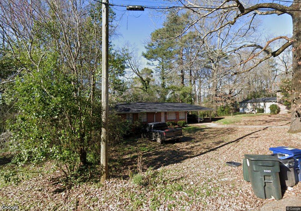
926 Charles Cir Birmingham, AL 35215
Roebuck NeighborhoodEstimated Value: $96,000 - $130,410
3
Beds
2
Baths
1,253
Sq Ft
$95/Sq Ft
Est. Value
About This Home
This home is located at 926 Charles Cir, Birmingham, AL 35215 and is currently estimated at $118,853, approximately $94 per square foot. 926 Charles Cir is a home located in Jefferson County with nearby schools including Martha Gaskins Elementary School, Smith Middle School, and Huffman High School.
Ownership History
Date
Name
Owned For
Owner Type
Purchase Details
Closed on
Sep 30, 2008
Sold by
The Cit Group/Consumer Finance Inc
Bought by
Lsf6 Mercury Reo Investments Llc
Current Estimated Value
Purchase Details
Closed on
Feb 29, 2008
Sold by
Mcdonald Harry and Mcdonald Gwendolyn Marie
Bought by
The Cit Group/Consumer Finance Inc
Purchase Details
Closed on
May 9, 2005
Sold by
Kelley Floyd Hayden V and Kelley Floyd Maxine
Bought by
Mcdonald Harry
Home Financials for this Owner
Home Financials are based on the most recent Mortgage that was taken out on this home.
Original Mortgage
$84,900
Interest Rate
9.24%
Mortgage Type
Stand Alone First
Create a Home Valuation Report for This Property
The Home Valuation Report is an in-depth analysis detailing your home's value as well as a comparison with similar homes in the area
Home Values in the Area
Average Home Value in this Area
Purchase History
| Date | Buyer | Sale Price | Title Company |
|---|---|---|---|
| Lsf6 Mercury Reo Investments Llc | -- | None Available | |
| The Cit Group/Consumer Finance Inc | $89,826 | None Available | |
| Mcdonald Harry | $94,900 | -- |
Source: Public Records
Mortgage History
| Date | Status | Borrower | Loan Amount |
|---|---|---|---|
| Previous Owner | Mcdonald Harry | $84,900 | |
| Closed | Mcdonald Harry | $10,000 |
Source: Public Records
Tax History Compared to Growth
Tax History
| Year | Tax Paid | Tax Assessment Tax Assessment Total Assessment is a certain percentage of the fair market value that is determined by local assessors to be the total taxable value of land and additions on the property. | Land | Improvement |
|---|---|---|---|---|
| 2024 | $2,024 | $27,920 | -- | -- |
| 2022 | $1,824 | $25,160 | $3,400 | $21,760 |
| 2021 | $1,530 | $21,100 | $3,400 | $17,700 |
| 2020 | $1,518 | $20,940 | $3,400 | $17,540 |
| 2019 | $1,518 | $20,940 | $0 | $0 |
| 2018 | $1,402 | $19,340 | $0 | $0 |
| 2017 | $1,402 | $19,340 | $0 | $0 |
| 2016 | $0 | $19,340 | $0 | $0 |
| 2015 | $1,259 | $19,340 | $0 | $0 |
| 2014 | $1,259 | $19,060 | $0 | $0 |
| 2013 | $1,259 | $12,860 | $0 | $0 |
Source: Public Records
Map
Nearby Homes
- 945 Nelson Dr
- 900 Charles Ct
- 300 Joan Ave
- 305 Joan Ave
- 328 Pat Ave
- 320 Roebuck Dr
- 937 Hickory Dr
- 224 Sam Pate Dr
- 340 Eastview Blvd
- 317 Roebuck Dr Unit 7-002.000
- 317 Roebuck Dr
- 809 Elizabeth Dr
- 361 Roebuck Dr
- 208 Boxwood Cir
- 252 Westwood Dr
- 173 Roebuck Dr
- 329 Bridlewood Dr
- 965 Parkway Dr
- 200 Boxwood Cir
- 316 Pine St