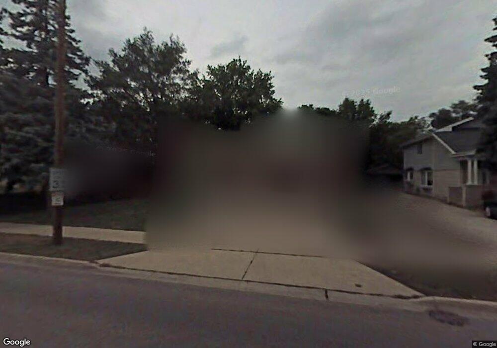
926 Devon Ave Park Ridge, IL 60068
Estimated Value: $483,000 - $654,000
3
Beds
2
Baths
1,564
Sq Ft
$365/Sq Ft
Est. Value
About This Home
This home is located at 926 Devon Ave, Park Ridge, IL 60068 and is currently estimated at $570,689, approximately $364 per square foot. 926 Devon Ave is a home located in Cook County with nearby schools including Theodore Roosevelt Elementary School, Lincoln Middle School, and Maine South High School.
Ownership History
Date
Name
Owned For
Owner Type
Purchase Details
Closed on
Jun 2, 1998
Sold by
Forbes Christine and Fobes Larue Christine
Bought by
Larue Kevin J and Forbes Larue Christine
Current Estimated Value
Home Financials for this Owner
Home Financials are based on the most recent Mortgage that was taken out on this home.
Original Mortgage
$165,800
Outstanding Balance
$33,660
Interest Rate
7.22%
Estimated Equity
$537,029
Purchase Details
Closed on
Oct 7, 1993
Sold by
Schmidt Christine Forbes and Forbes Christine
Bought by
Forbes Christine
Home Financials for this Owner
Home Financials are based on the most recent Mortgage that was taken out on this home.
Original Mortgage
$135,000
Interest Rate
7.02%
Create a Home Valuation Report for This Property
The Home Valuation Report is an in-depth analysis detailing your home's value as well as a comparison with similar homes in the area
Home Values in the Area
Average Home Value in this Area
Purchase History
| Date | Buyer | Sale Price | Title Company |
|---|---|---|---|
| Larue Kevin J | -- | -- | |
| Forbes Christine | -- | -- |
Source: Public Records
Mortgage History
| Date | Status | Borrower | Loan Amount |
|---|---|---|---|
| Open | Larue Kevin J | $165,800 | |
| Closed | Forbes Christine | $135,000 |
Source: Public Records
Tax History Compared to Growth
Tax History
| Year | Tax Paid | Tax Assessment Tax Assessment Total Assessment is a certain percentage of the fair market value that is determined by local assessors to be the total taxable value of land and additions on the property. | Land | Improvement |
|---|---|---|---|---|
| 2024 | $3,353 | $14,385 | $5,610 | $8,775 |
| 2023 | $3,197 | $14,385 | $5,610 | $8,775 |
| 2022 | $3,197 | $14,385 | $5,610 | $8,775 |
| 2021 | $3,094 | $12,210 | $3,465 | $8,745 |
| 2020 | $3,012 | $12,210 | $3,465 | $8,745 |
| 2019 | $2,952 | $13,425 | $3,465 | $9,960 |
| 2018 | $3,086 | $12,886 | $2,970 | $9,916 |
| 2017 | $3,083 | $12,886 | $2,970 | $9,916 |
| 2016 | $3,303 | $12,886 | $2,970 | $9,916 |
| 2015 | $3,276 | $11,512 | $2,475 | $9,037 |
| 2014 | $3,217 | $11,512 | $2,475 | $9,037 |
| 2013 | $3,041 | $11,512 | $2,475 | $9,037 |
Source: Public Records
Map
Nearby Homes
- 1116 S Cumberland Ave
- 901 S Cumberland Ave
- 1015 Arthur St
- 1016 Arthur St
- 1014 S Chester Ave
- 919 S Chester Ave
- 820 W Talcott Rd
- 819 Albion Ave
- 425 W Talcott Rd
- 1425 Brophy Ave
- 1220 Courtland Ave
- 1219 S Western Ave
- 929 S Aldine Ave
- 1610 S Greenwood Ave
- 1634 S Cumberland Ave
- 623 S Prospect Ave
- 1715 S Greenwood Ave
- 428 S Clifton Ave
- 1705 S Prospect Ave
- 1805 Brophy Ave
- 926 Devon Ave
- 926 Devon Ave
- 1000 Devon Ave
- 920 Devon Ave
- 920 Devon Ave
- 1006 Devon Ave
- 1006 Devon Ave
- 1006 Devon Ave
- 925 Saint James Place
- 929 Saint James Place
- 916 Devon Ave
- 916 Devon Ave
- 921 Saint James Place
- 1003 Saint James Place
- 912 Devon Ave
- 1012 Devon Ave
- 1012 Devon Ave
- 1012 Devon Ave
- 917 Saint James Place
- 1009 Saint James Place