926 N Dean St Bushnell, IL 61422
Estimated Value: $66,146 - $78,000
3
Beds
--
Bath
1,224
Sq Ft
$58/Sq Ft
Est. Value
About This Home
This home is located at 926 N Dean St, Bushnell, IL 61422 and is currently estimated at $71,037, approximately $58 per square foot. 926 N Dean St is a home located in McDonough County with nearby schools including Bushnell-Prairie City Elementary School, Bushnell-Prairie City Junior High School, and Bushnell-Prairie City High School.
Ownership History
Date
Name
Owned For
Owner Type
Purchase Details
Closed on
Feb 25, 2005
Sold by
Barker Marilyn J and Huffman Samuel C
Bought by
Havens Ronald C and Bruzas Syble
Current Estimated Value
Home Financials for this Owner
Home Financials are based on the most recent Mortgage that was taken out on this home.
Original Mortgage
$45,500
Outstanding Balance
$23,357
Interest Rate
5.8%
Mortgage Type
New Conventional
Estimated Equity
$47,680
Create a Home Valuation Report for This Property
The Home Valuation Report is an in-depth analysis detailing your home's value as well as a comparison with similar homes in the area
Home Values in the Area
Average Home Value in this Area
Purchase History
| Date | Buyer | Sale Price | Title Company |
|---|---|---|---|
| Havens Ronald C | $44,000 | Mcdonough County Title |
Source: Public Records
Mortgage History
| Date | Status | Borrower | Loan Amount |
|---|---|---|---|
| Open | Havens Ronald C | $45,500 |
Source: Public Records
Tax History Compared to Growth
Tax History
| Year | Tax Paid | Tax Assessment Tax Assessment Total Assessment is a certain percentage of the fair market value that is determined by local assessors to be the total taxable value of land and additions on the property. | Land | Improvement |
|---|---|---|---|---|
| 2024 | $1,303 | $20,165 | $1,875 | $18,290 |
| 2023 | $1,247 | $19,951 | $1,855 | $18,096 |
| 2022 | $1,083 | $18,036 | $1,677 | $16,359 |
| 2021 | $1,016 | $17,268 | $1,606 | $15,662 |
| 2020 | $1,021 | $18,607 | $1,583 | $17,024 |
| 2019 | $1,086 | $17,738 | $1,649 | $16,089 |
| 2018 | $1,086 | $18,110 | $1,684 | $16,426 |
| 2017 | $1,087 | $17,851 | $1,660 | $16,191 |
| 2016 | $979 | $16,506 | $1,535 | $14,971 |
| 2015 | $992 | $16,506 | $1,535 | $14,971 |
| 2014 | $1,043 | $16,254 | $1,512 | $14,742 |
| 2013 | $1,025 | $17,556 | $1,633 | $15,923 |
Source: Public Records
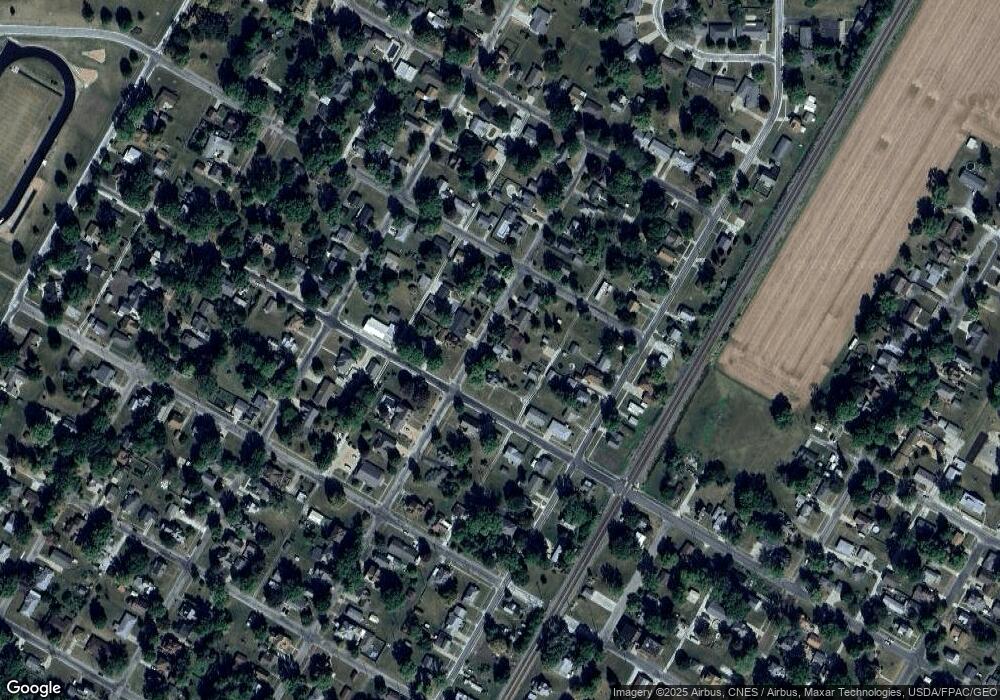
Map
Nearby Homes
- 134 W Osborne St
- 1024 W Main St
- 295 W Harris Ave
- 4 Hiel Dr
- 994 N Crafford St
- 924 N Crafford St
- 651 N Washington St
- 555 N Jackson St
- 195 W Hail St
- 425 N Jackson St
- 651 N Sperry St
- 777 Cole St
- 310 N Dean St
- 14 Hillcrest Dr
- 20620 N 2300th Rd
- 20620 N 2300 Rd
- 300 S Park St
- 22561 N Cornerstone Rd
- 235 N Smith St
- 18520 N 1450th Rd