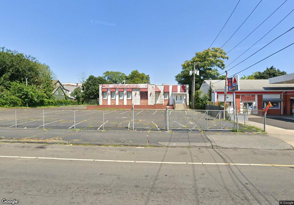
926 State St Bridgeport, CT 06605
West End-West Side NeighborhoodEstimated Value: $559,881
--
Bed
--
Bath
3,292
Sq Ft
$170/Sq Ft
Est. Value
About This Home
This home is located at 926 State St, Bridgeport, CT 06605 and is currently estimated at $559,881, approximately $170 per square foot. 926 State St is a home located in Fairfield County with nearby schools including Roosevelt School, Bassick High School, and New Beginnings Family Academy.
Ownership History
Date
Name
Owned For
Owner Type
Purchase Details
Closed on
Apr 22, 1994
Sold by
Berkowitz Harold and Lavin Bernard J
Bought by
Glaras Dimitrios
Current Estimated Value
Home Financials for this Owner
Home Financials are based on the most recent Mortgage that was taken out on this home.
Original Mortgage
$85,000
Interest Rate
7.6%
Mortgage Type
Commercial
Create a Home Valuation Report for This Property
The Home Valuation Report is an in-depth analysis detailing your home's value as well as a comparison with similar homes in the area
Home Values in the Area
Average Home Value in this Area
Purchase History
| Date | Buyer | Sale Price | Title Company |
|---|---|---|---|
| Glaras Dimitrios | $135,000 | -- | |
| Glaras Dimitrios | $135,000 | -- |
Source: Public Records
Mortgage History
| Date | Status | Borrower | Loan Amount |
|---|---|---|---|
| Closed | Glaras Dimitrios | $85,000 |
Source: Public Records
Tax History Compared to Growth
Tax History
| Year | Tax Paid | Tax Assessment Tax Assessment Total Assessment is a certain percentage of the fair market value that is determined by local assessors to be the total taxable value of land and additions on the property. | Land | Improvement |
|---|---|---|---|---|
| 2025 | $0 | $527,310 | $159,730 | $367,580 |
| 2024 | -- | $527,310 | $159,730 | $367,580 |
| 2023 | $0 | $527,310 | $159,730 | $367,580 |
| 2022 | $0 | $527,310 | $159,730 | $367,580 |
| 2021 | $0 | $527,310 | $159,730 | $367,580 |
| 2020 | $0 | $487,960 | $130,910 | $357,050 |
| 2019 | $0 | $487,960 | $130,910 | $357,050 |
| 2018 | $0 | $487,960 | $130,910 | $357,050 |
| 2017 | $0 | $487,960 | $130,910 | $357,050 |
| 2016 | -- | $487,960 | $130,910 | $357,050 |
| 2015 | -- | $563,290 | $142,810 | $420,480 |
| 2014 | -- | $563,290 | $142,810 | $420,480 |
Source: Public Records
Map
Nearby Homes
- 357 Norman St
- 162 Cottage St
- 757 Iranistan Ave Unit 759
- 144 Cottage St
- 15 Seeley St
- 201 Lewis St Unit 203
- 150 Clinton Ave
- 90 Lee Ave
- 393 Laurel Ave Unit 203
- 393 Laurel Ave Unit 415
- 1169 Iranistan Ave
- 592 Norman St Unit 594
- 43 Clinton Ave Unit 45
- 1373 Iranistan Ave
- 419 Iranistan Ave
- 21 Little St
- 22 Sims St
- 72 Sims St
- 373 Iranistan Ave
- 826 Norman St
- 952 State St Unit 2
- 318 Norman St
- 950 State St
- 950 State St Unit 2
- 937 State St
- 310 Norman St
- 901 State St
- 901 State St
- 308 Norman St
- 334 Norman St Unit 336
- 344 Norman St Unit 3
- 344 Norman St Unit 1
- 344 Norman St Unit 2
- 342 Norman St
- 342 Norman St Unit 3
- 342 Norman St Unit 2
- 293 Norman St Unit 295
- 865 Iranistan Ave
- 311 Norman St