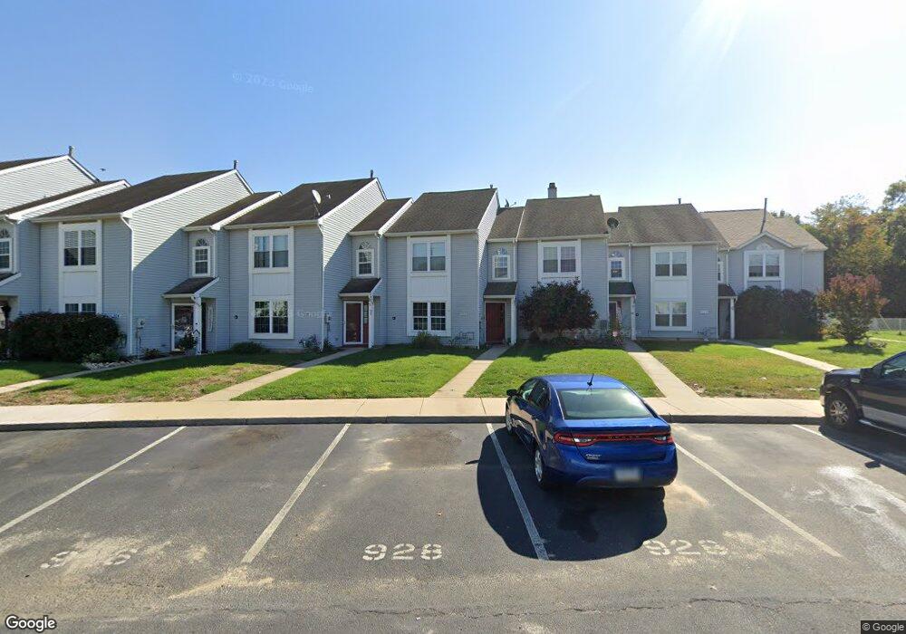
926 Thoreau Ln Williamstown, NJ 08094
Estimated Value: $283,000 - $361,000
--
Bed
--
Bath
1,708
Sq Ft
$179/Sq Ft
Est. Value
About This Home
This home is located at 926 Thoreau Ln, Williamstown, NJ 08094 and is currently estimated at $306,448, approximately $179 per square foot. 926 Thoreau Ln is a home located in Gloucester County with nearby schools including Williamstown High School, St. Mary School, and Finest of the Wheat Christian.
Ownership History
Date
Name
Owned For
Owner Type
Purchase Details
Closed on
Sep 9, 2004
Sold by
Carpino Linda M
Bought by
Harper Audrey
Current Estimated Value
Home Financials for this Owner
Home Financials are based on the most recent Mortgage that was taken out on this home.
Original Mortgage
$112,000
Outstanding Balance
$55,191
Interest Rate
5.8%
Mortgage Type
Stand Alone First
Estimated Equity
$251,257
Purchase Details
Closed on
Jun 2, 2003
Sold by
Destefano Torres Norberto and Destefano Torres Katherine
Bought by
Carpino Linda M
Home Financials for this Owner
Home Financials are based on the most recent Mortgage that was taken out on this home.
Original Mortgage
$40,000
Interest Rate
5.77%
Mortgage Type
Purchase Money Mortgage
Purchase Details
Closed on
Aug 31, 1994
Sold by
Blue Bell Farms Inc
Bought by
Torres Norberto
Create a Home Valuation Report for This Property
The Home Valuation Report is an in-depth analysis detailing your home's value as well as a comparison with similar homes in the area
Home Values in the Area
Average Home Value in this Area
Purchase History
| Date | Buyer | Sale Price | Title Company |
|---|---|---|---|
| Harper Audrey | $142,000 | Independence Abstract & Titl | |
| Carpino Linda M | $100,000 | Weichert Title Agency | |
| Torres Norberto | $83,900 | Settlers Title Agency Lp |
Source: Public Records
Mortgage History
| Date | Status | Borrower | Loan Amount |
|---|---|---|---|
| Open | Harper Audrey | $112,000 | |
| Previous Owner | Carpino Linda M | $40,000 |
Source: Public Records
Tax History Compared to Growth
Tax History
| Year | Tax Paid | Tax Assessment Tax Assessment Total Assessment is a certain percentage of the fair market value that is determined by local assessors to be the total taxable value of land and additions on the property. | Land | Improvement |
|---|---|---|---|---|
| 2025 | $4,944 | $135,000 | $41,000 | $94,000 |
| 2024 | $4,907 | $135,000 | $41,000 | $94,000 |
| 2023 | $4,907 | $135,000 | $41,000 | $94,000 |
| 2022 | $4,884 | $135,000 | $41,000 | $94,000 |
| 2021 | $4,553 | $135,000 | $41,000 | $94,000 |
| 2020 | $4,910 | $135,000 | $41,000 | $94,000 |
| 2019 | $4,880 | $135,000 | $41,000 | $94,000 |
| 2018 | $4,801 | $135,000 | $41,000 | $94,000 |
| 2017 | $4,962 | $140,100 | $45,000 | $95,100 |
| 2016 | $4,899 | $140,100 | $45,000 | $95,100 |
| 2015 | $4,759 | $140,100 | $45,000 | $95,100 |
| 2014 | $4,621 | $140,100 | $45,000 | $95,100 |
Source: Public Records
Map
Nearby Homes
- 1017 Micawber Dr
- 1008 London Cir
- 304 Thackeray Ln
- 943 Sykesville Rd
- 640 Ironwood Dr
- 1011 S Beecham Rd
- 934 N Beecham Rd
- 549 Maidstone Dr
- 647 Chestnut St
- 30 Tool Ln
- 959 S Main St
- 112 Shisler Ave
- 206 Raphael Ct
- 308 Oak St
- 415 Stockton Loop
- 221 Oak St
- 520 S Main St
- 1406 Exposition Dr
- 505 Matisse Way Unit 505
- 632 Clayton Rd